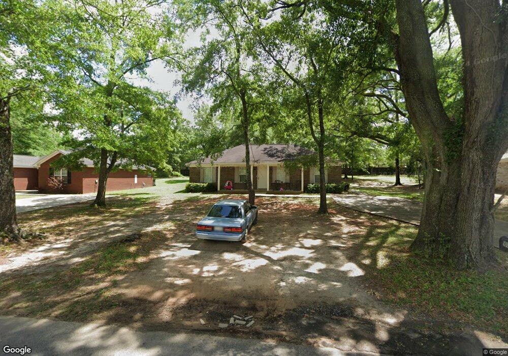
1016 Newport Pkwy Bay Minette, AL 36507
Estimated Value: $163,000 - $305,000
3
Beds
2
Baths
1,288
Sq Ft
$169/Sq Ft
Est. Value
About This Home
This home is located at 1016 Newport Pkwy, Bay Minette, AL 36507 and is currently estimated at $217,086, approximately $168 per square foot. 1016 Newport Pkwy is a home with nearby schools including Pine Grove Elementary School, Bay Minette Middle School, and Baldwin County High School.
Ownership History
Date
Name
Owned For
Owner Type
Purchase Details
Closed on
Apr 6, 2018
Sold by
Bumpers Dore Ann
Bought by
Kf Investments Llc
Current Estimated Value
Purchase Details
Closed on
May 17, 2017
Sold by
Kossow Clarence A
Bought by
Kossow Clarence A
Purchase Details
Closed on
Sep 19, 2007
Sold by
Reed J Myles and Delafosse Lorne Anthony
Bought by
Tpq Llc
Home Financials for this Owner
Home Financials are based on the most recent Mortgage that was taken out on this home.
Original Mortgage
$94,000
Interest Rate
6.55%
Mortgage Type
Purchase Money Mortgage
Create a Home Valuation Report for This Property
The Home Valuation Report is an in-depth analysis detailing your home's value as well as a comparison with similar homes in the area
Home Values in the Area
Average Home Value in this Area
Purchase History
| Date | Buyer | Sale Price | Title Company |
|---|---|---|---|
| Kf Investments Llc | $204,000 | Chicago Title | |
| Kossow Clarence A | $195,000 | None Available | |
| Tpq Llc | -- | Alt | |
| Reed J Myles | -- | Alt |
Source: Public Records
Mortgage History
| Date | Status | Borrower | Loan Amount |
|---|---|---|---|
| Previous Owner | Reed J Myles | $94,000 |
Source: Public Records
Tax History Compared to Growth
Tax History
| Year | Tax Paid | Tax Assessment Tax Assessment Total Assessment is a certain percentage of the fair market value that is determined by local assessors to be the total taxable value of land and additions on the property. | Land | Improvement |
|---|---|---|---|---|
| 2024 | $1,265 | $29,760 | $3,960 | $25,800 |
| 2023 | $1,079 | $25,380 | $3,860 | $21,520 |
| 2022 | $920 | $21,640 | $0 | $0 |
| 2021 | $863 | $19,860 | $0 | $0 |
| 2020 | $836 | $19,680 | $0 | $0 |
| 2019 | $809 | $19,040 | $0 | $0 |
| 2018 | $593 | $13,960 | $0 | $0 |
| 2017 | $581 | $13,660 | $0 | $0 |
| 2016 | $587 | $13,800 | $0 | $0 |
| 2015 | $587 | $13,800 | $0 | $0 |
| 2014 | $684 | $16,100 | $0 | $0 |
| 2013 | -- | $16,380 | $0 | $0 |
Source: Public Records
Map
Nearby Homes
- 321 Kennesaw Ave
- 311 Kennesaw Ave
- 113 Marietta St
- 109 Marietta St
- 111 Marietta St
- 0 Abernathy Ave
- 106 N White Ave
- 407 E 2nd St
- 00 Brady Rd N
- 924 Brady Rd N
- 4 Brady Rd N
- 0 U S Highway 31 Unit L1, Blk 4, U2 384931
- 731 Railroad St W
- 0 Hand Ave Unit Lot 1, Blk 1 373576
- 0 Hand Ave Unit Lot 1 373575
- 15635 Brady Rd N
- 502 Bradley Ave
- 0 Highway 287 Unit 376068
- 44533 Linda Jones Rd
- 506 Byrne St
- 1014 Newport Pkwy
- 1012 Newport Pkwy
- 1020 Newport Pkwy
- 1022 Newport Pkwy
- 1010 Newport Pkwy
- 309 Kennesaw Ave Unit 49
- 317 Kennesaw Ave
- 317 Kennesaw Ave Unit 45
- 305 Kennesaw Ave
- 305 Kennesaw Ave Unit 51
- 1024 Newport Pkwy
- 1008 Newport Pkwy
- 1008 Newport Pkwy Unit 5
- 304 Kennesaw Ave
- 300 Kennesaw Ave
- 304 Kennesaw Ave Unit 55
- 300 Kennesaw Ave Unit 54
- 304 Kennesaw Ave Unit 56
- 308 Kennesaw Ave
- 308 Kennesaw Ave Unit 58