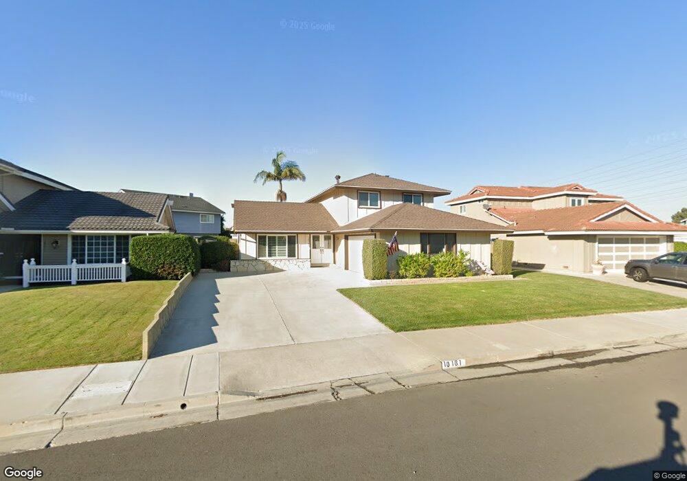
10161 El Capitan Dr Huntington Beach, CA 92646
Southeast NeighborhoodEstimated Value: $1,434,753 - $1,500,000
4
Beds
3
Baths
1,881
Sq Ft
$787/Sq Ft
Est. Value
About This Home
This home is located at 10161 El Capitan Dr, Huntington Beach, CA 92646 and is currently estimated at $1,480,938, approximately $787 per square foot. 10161 El Capitan Dr is a home located in Orange County with nearby schools including Ralph E. Hawes Elementary School, Isaac L. Sowers Middle School, and Edison High School.
Ownership History
Date
Name
Owned For
Owner Type
Purchase Details
Closed on
Nov 6, 2012
Sold by
Sargent Gene and Sargent Torrell A
Bought by
Sargent Gene and Sargent Torrell A
Current Estimated Value
Home Financials for this Owner
Home Financials are based on the most recent Mortgage that was taken out on this home.
Original Mortgage
$60,000
Outstanding Balance
$10,725
Interest Rate
3.5%
Mortgage Type
New Conventional
Estimated Equity
$1,470,213
Purchase Details
Closed on
Oct 25, 2012
Sold by
Sargent Gene and Sargent Torrell A
Bought by
Sargent Gene and Sargent Torrell A
Home Financials for this Owner
Home Financials are based on the most recent Mortgage that was taken out on this home.
Original Mortgage
$60,000
Outstanding Balance
$10,725
Interest Rate
3.5%
Mortgage Type
New Conventional
Estimated Equity
$1,470,213
Purchase Details
Closed on
Dec 29, 1993
Sold by
Sargent Eugene J and Sargent Torrell A
Bought by
Sargent Gene and Sargent Torrell A
Create a Home Valuation Report for This Property
The Home Valuation Report is an in-depth analysis detailing your home's value as well as a comparison with similar homes in the area
Home Values in the Area
Average Home Value in this Area
Purchase History
| Date | Buyer | Sale Price | Title Company |
|---|---|---|---|
| Sargent Gene | -- | None Available | |
| Sargent Gene | -- | Lsi | |
| Sargent Gene | -- | -- |
Source: Public Records
Mortgage History
| Date | Status | Borrower | Loan Amount |
|---|---|---|---|
| Open | Sargent Gene | $60,000 |
Source: Public Records
Tax History Compared to Growth
Tax History
| Year | Tax Paid | Tax Assessment Tax Assessment Total Assessment is a certain percentage of the fair market value that is determined by local assessors to be the total taxable value of land and additions on the property. | Land | Improvement |
|---|---|---|---|---|
| 2025 | $1,163 | $244,464 | $122,754 | $121,710 |
| 2024 | $1,163 | $239,671 | $120,347 | $119,324 |
| 2023 | $1,191 | $234,972 | $117,987 | $116,985 |
| 2022 | $1,246 | $230,365 | $115,673 | $114,692 |
| 2021 | $1,219 | $225,849 | $113,405 | $112,444 |
| 2020 | $1,240 | $223,534 | $112,242 | $111,292 |
| 2019 | $1,241 | $219,151 | $110,041 | $109,110 |
| 2018 | $1,245 | $214,854 | $107,883 | $106,971 |
| 2017 | $1,242 | $210,642 | $105,768 | $104,874 |
| 2016 | $1,205 | $206,512 | $103,694 | $102,818 |
| 2015 | $1,183 | $203,410 | $102,136 | $101,274 |
| 2014 | $1,147 | $199,426 | $100,135 | $99,291 |
Source: Public Records
Map
Nearby Homes
- 21022 Manessa Cir
- 10101 Theseus Dr
- 21072 Galbar Cir
- 20442 Craimer Ln
- 9812 La Cresta Cir
- 20392 Redwood Ln
- 2175 Pacific Ave Unit C1
- 10172 Stonybrook Dr
- 9802 Effingham Dr
- 2230 Canyon Dr
- 2245 State Ave
- 1269 Westreef
- 1170 Gleneagles Terrace
- 20862 Lancelot Ln
- 9581 Chevy Chase Dr
- 21382 Lemontree Ln
- 21361 Lemontree Ln
- 2741 Sandpiper Dr
- 21662 Brookhurst St Unit D
- 9522 Yellowstone Dr
- 10141 El Capitan Dr
- 10171 El Capitan Dr
- 10142 Signet Cir
- 20801 Spindrift Ln
- 10121 El Capitan Dr
- 10152 Signet Cir
- 20851 Spindrift Ln
- 10122 Signet Cir
- 20852 Surge Ln
- 20791 Spindrift Ln
- 10101 El Capitan Dr
- 20871 Spindrift Ln
- 20802 Spindrift Ln
- 20822 Spindrift Ln
- 10102 Signet Cir
- 20771 Spindrift Ln
- 20792 Spindrift Ln
- 20842 Spindrift Ln
- 10151 Signet Cir