1017 Solano Dr Austin, TX 78750
Anderson Mill NeighborhoodEstimated Value: $268,000 - $295,000
2
Beds
2
Baths
1,125
Sq Ft
$252/Sq Ft
Est. Value
About This Home
This home is located at 1017 Solano Dr, Austin, TX 78750 and is currently estimated at $283,585, approximately $252 per square foot. 1017 Solano Dr is a home located in Williamson County with nearby schools including Anderson Mill Elementary School, Noel Grisham Middle, and Westwood High School.
Ownership History
Date
Name
Owned For
Owner Type
Purchase Details
Closed on
May 12, 2022
Sold by
Moglia Savino A
Bought by
Aherne Martin
Current Estimated Value
Purchase Details
Closed on
Aug 25, 2010
Sold by
Hill Rita J
Bought by
Moglia Savino A and Moglia Marilou E
Home Financials for this Owner
Home Financials are based on the most recent Mortgage that was taken out on this home.
Original Mortgage
$93,750
Interest Rate
4.6%
Mortgage Type
New Conventional
Create a Home Valuation Report for This Property
The Home Valuation Report is an in-depth analysis detailing your home's value as well as a comparison with similar homes in the area
Home Values in the Area
Average Home Value in this Area
Purchase History
| Date | Buyer | Sale Price | Title Company |
|---|---|---|---|
| Aherne Martin | -- | Texas National Title | |
| Moglia Savino A | -- | Gracy |
Source: Public Records
Mortgage History
| Date | Status | Borrower | Loan Amount |
|---|---|---|---|
| Previous Owner | Moglia Savino A | $93,750 |
Source: Public Records
Tax History Compared to Growth
Tax History
| Year | Tax Paid | Tax Assessment Tax Assessment Total Assessment is a certain percentage of the fair market value that is determined by local assessors to be the total taxable value of land and additions on the property. | Land | Improvement |
|---|---|---|---|---|
| 2025 | $6,062 | $265,524 | $72,547 | $192,977 |
| 2024 | $6,062 | $301,554 | $72,971 | $228,583 |
| 2023 | $5,725 | $289,100 | $72,971 | $216,129 |
| 2022 | $4,377 | $203,839 | $0 | $0 |
| 2021 | $4,552 | $185,308 | $34,147 | $165,660 |
| 2020 | $4,008 | $168,462 | $28,808 | $139,654 |
| 2019 | $4,328 | $176,951 | $29,116 | $147,835 |
| 2018 | $4,031 | $164,787 | $20,564 | $144,223 |
| 2017 | $4,170 | $167,077 | $20,564 | $146,513 |
| 2016 | $3,745 | $150,052 | $20,564 | $129,488 |
| 2015 | $3,218 | $140,800 | $14,554 | $126,246 |
| 2014 | $3,218 | $126,240 | $0 | $0 |
Source: Public Records
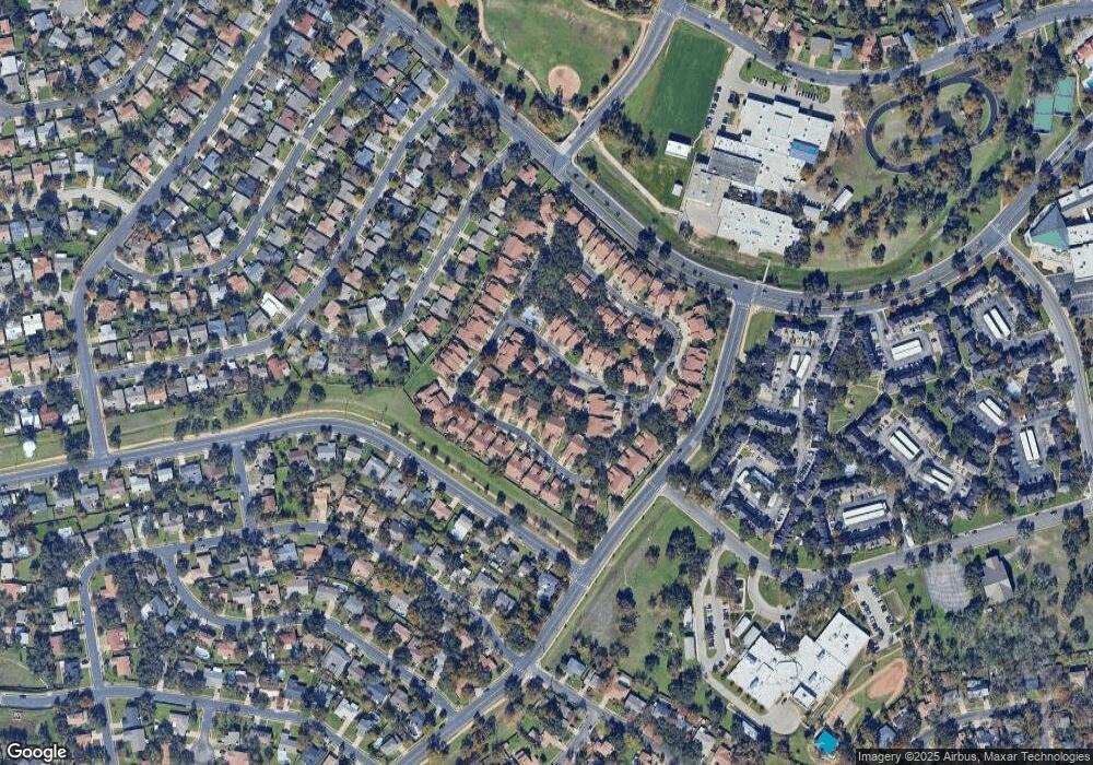
Map
Nearby Homes
- 1028 Verbena Dr
- 12106 Grey Fawn Path
- 12206 Saber Trail
- 11811 Buggy Whip Trail
- 11007 Opal Trail
- 12306 Split Rail Pkwy
- 11908 Stout Oak Trail
- 10606 Mourning Dove Dr
- 12300 Wipple Tree Cove
- 11100 Alison Parke Trail
- 12306 Double Tree Ln
- 12208 Double Tree Ln
- 12314 Double Tree Ln
- 10404 Mourning Dove Dr
- 11010 Froke Cedar Trail
- 11405 Bristle Oak Trail
- 12319 Double Tree Ln
- 10408 Firethorn Ln
- 10401 Mourning Dove Dr
- 11533 Sandy Loam Trail
- 1017 Solano Dr Unit 1054
- 1019 Solano Dr
- 1015 Solano Dr
- 1021 Solano Dr
- 1021 Solano Dr Unit 1054A
- 1013 Solano Dr
- 1023 Solano Dr
- 1011 Solano Dr
- 1020 Solano Dr
- 1010 Solano Dr
- 1009 Solano Dr
- 2019 Verbena Dr
- 2021 Verbena Dr
- 2015 Verbena Dr
- 2023 Verbena Dr
- 1085 Verbena Dr
- 1016 Solano Dr
- 1083 Verbena Dr
- 2013 Verbena Dr
- 1081 Verbena Dr