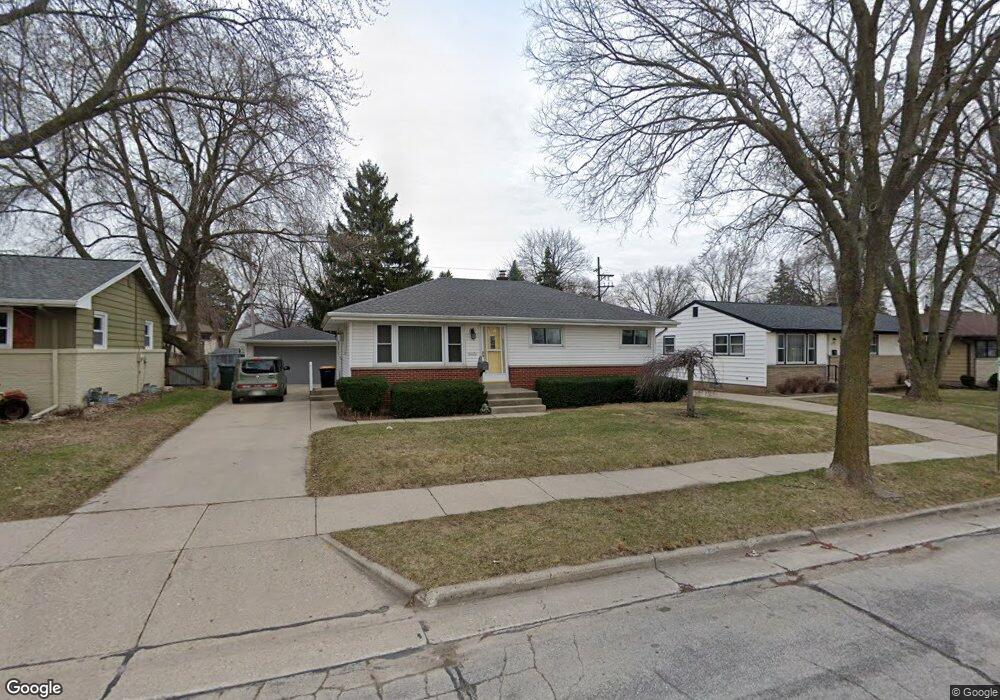
10171 W National Ave Milwaukee, WI 53227
President Heights NeighborhoodEstimated Value: $260,000 - $284,000
2
Beds
1
Bath
988
Sq Ft
$277/Sq Ft
Est. Value
About This Home
This home is located at 10171 W National Ave, Milwaukee, WI 53227 and is currently estimated at $273,262, approximately $276 per square foot. 10171 W National Ave is a home located in Milwaukee County with nearby schools including Mitchell Elementary School, Lane Intermediate School, and Nathan Hale High School.
Ownership History
Date
Name
Owned For
Owner Type
Purchase Details
Closed on
Jul 31, 2002
Sold by
Patti Timothy J and Ehlers Jennifer
Bought by
Wing Michael A and Bromberek Judith
Current Estimated Value
Home Financials for this Owner
Home Financials are based on the most recent Mortgage that was taken out on this home.
Original Mortgage
$30,000
Interest Rate
6.64%
Purchase Details
Closed on
May 10, 1996
Sold by
Vizon Felipe T and Vizon Elvira S
Bought by
Patti Timothy J and Ehlers Jennifer L
Home Financials for this Owner
Home Financials are based on the most recent Mortgage that was taken out on this home.
Original Mortgage
$95,000
Interest Rate
8.1%
Create a Home Valuation Report for This Property
The Home Valuation Report is an in-depth analysis detailing your home's value as well as a comparison with similar homes in the area
Home Values in the Area
Average Home Value in this Area
Purchase History
| Date | Buyer | Sale Price | Title Company |
|---|---|---|---|
| Wing Michael A | $127,000 | -- | |
| Patti Timothy J | $100,000 | -- |
Source: Public Records
Mortgage History
| Date | Status | Borrower | Loan Amount |
|---|---|---|---|
| Closed | Wing Michael A | $30,000 | |
| Previous Owner | Patti Timothy J | $95,000 |
Source: Public Records
Tax History Compared to Growth
Tax History
| Year | Tax Paid | Tax Assessment Tax Assessment Total Assessment is a certain percentage of the fair market value that is determined by local assessors to be the total taxable value of land and additions on the property. | Land | Improvement |
|---|---|---|---|---|
| 2024 | $3,875 | $202,600 | $39,800 | $162,800 |
| 2023 | $3,558 | $135,600 | $24,500 | $111,100 |
| 2022 | $3,589 | $135,600 | $24,500 | $111,100 |
| 2021 | $3,502 | $135,600 | $24,500 | $111,100 |
| 2020 | $3,570 | $135,600 | $24,500 | $111,100 |
| 2019 | $3,435 | $135,600 | $24,500 | $111,100 |
| 2018 | $3,498 | $135,600 | $24,500 | $111,100 |
| 2017 | $3,629 | $135,600 | $24,500 | $111,100 |
| 2016 | $3,516 | $135,600 | $24,500 | $111,100 |
| 2015 | $3,519 | $135,600 | $24,500 | $111,100 |
| 2014 | $3,512 | $135,600 | $24,500 | $111,100 |
Source: Public Records
Map
Nearby Homes
- 2732 S 96th St
- 9806 W Lincoln Ave
- 2472 S 95th St
- 10903 W Lincoln Ave
- 10433 W Manitoba St
- 2450 S 95th St
- 9810 W Manitoba St
- 2343 S 95th St
- 2172 S 98th St
- 88 W Becher St
- 2089 S 107th St
- 2104 S 98th St
- 3122 S 97th St
- 11444 W Montana Ave
- 3168 S 97th St
- 2149 S 93rd St
- 2017 S 97th St
- 2177 S 92nd St
- 11401 W National Ave
- 3160 S 95th St
- 10179 W National Ave
- 10167 W National Ave
- 10159 W National Ave
- 10168 W Harrison Ave
- 10185 W National Ave
- 10176 W Harrison Ave
- 10160 W Harrison Ave
- 10184 W Harrison Ave
- 10154 W Harrison Ave
- 10153 W National Ave
- 10144 W Harrison Ave
- 10147 W National Ave
- 10205 W National Ave
- 2617 S 102nd St
- 2609 W Alda Ct
- 2605 W Alda Ct
- 2613 W Alda Ct
- 10136 W Harrison Ave
- 2627 S 102nd St
- 10143 W National Ave