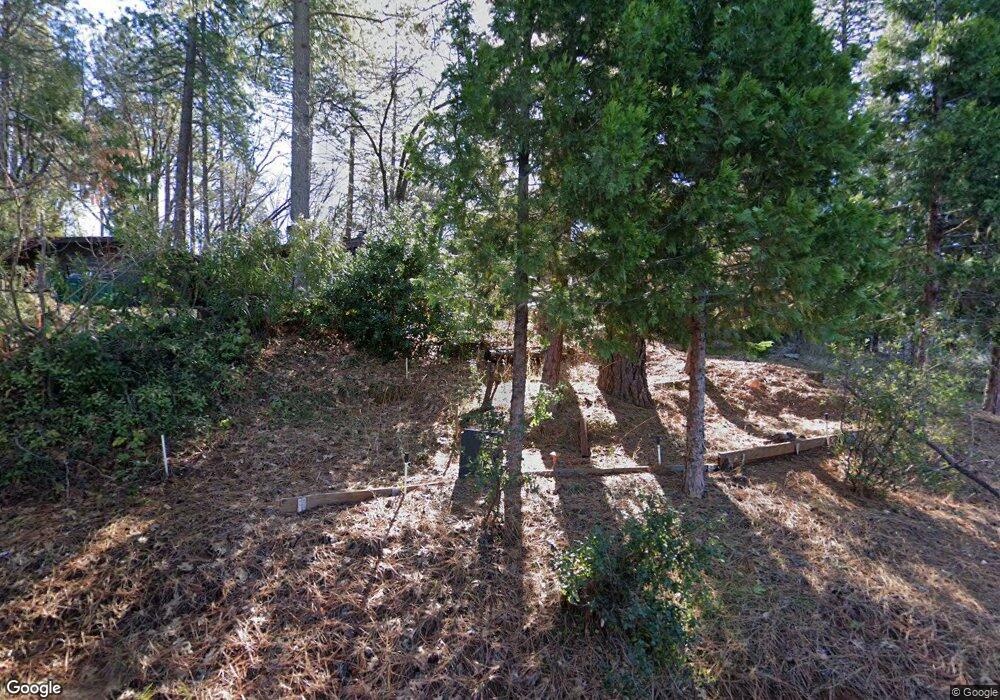
10175 Natasha Ct Nevada City, CA 95959
Estimated Value: $541,800 - $783,000
3
Beds
2
Baths
1,768
Sq Ft
$363/Sq Ft
Est. Value
About This Home
This home is located at 10175 Natasha Ct, Nevada City, CA 95959 and is currently estimated at $641,200, approximately $362 per square foot. 10175 Natasha Ct is a home located in Nevada County with nearby schools including Deer Creek Elementary School, Seven Hills Intermediate School, and Forest Charter School.
Ownership History
Date
Name
Owned For
Owner Type
Purchase Details
Closed on
Apr 21, 1999
Sold by
Faulk N Jean
Bought by
Warren Michael E and Warren Kyle L
Current Estimated Value
Home Financials for this Owner
Home Financials are based on the most recent Mortgage that was taken out on this home.
Original Mortgage
$166,400
Outstanding Balance
$41,925
Interest Rate
6.98%
Mortgage Type
Purchase Money Mortgage
Estimated Equity
$599,275
Create a Home Valuation Report for This Property
The Home Valuation Report is an in-depth analysis detailing your home's value as well as a comparison with similar homes in the area
Home Values in the Area
Average Home Value in this Area
Purchase History
| Date | Buyer | Sale Price | Title Company |
|---|---|---|---|
| Warren Michael E | $185,000 | Inter County Title Co |
Source: Public Records
Mortgage History
| Date | Status | Borrower | Loan Amount |
|---|---|---|---|
| Open | Warren Michael E | $166,400 |
Source: Public Records
Tax History Compared to Growth
Tax History
| Year | Tax Paid | Tax Assessment Tax Assessment Total Assessment is a certain percentage of the fair market value that is determined by local assessors to be the total taxable value of land and additions on the property. | Land | Improvement |
|---|---|---|---|---|
| 2025 | $3,157 | $290,003 | $94,049 | $195,954 |
| 2024 | $3,092 | $284,317 | $92,205 | $192,112 |
| 2023 | $3,092 | $278,744 | $90,398 | $188,346 |
| 2022 | $3,026 | $273,279 | $88,626 | $184,653 |
| 2021 | $2,940 | $267,922 | $86,889 | $181,033 |
| 2020 | $2,930 | $265,176 | $85,999 | $179,177 |
| 2019 | $2,869 | $259,977 | $84,313 | $175,664 |
| 2018 | $2,811 | $254,880 | $82,660 | $172,220 |
| 2017 | $2,754 | $249,884 | $81,040 | $168,844 |
| 2016 | $2,654 | $244,985 | $79,451 | $165,534 |
| 2015 | $2,615 | $241,306 | $78,258 | $163,048 |
| 2014 | $2,572 | $236,581 | $76,726 | $159,855 |
Source: Public Records
Map
Nearby Homes
- 16934 Indian Flat Rd
- 10265 Newtown Rd
- 11356 Constitution Ct
- 10402 Newtown Rd
- 11094 Cement Hill Rd
- 16970 Old Downieville Hwy
- 11772 Marjon Dr
- 12921 Slate Creek Rd
- 11220 Marjon Dr
- 10980 Newtown Rd
- 651 Chief Kelly Dr
- 661 Chief Kelly Dr
- 631 Chief Kelly Dr
- 11065 White Oak Way
- 660 Chief Kelly Dr
- 10943 Beckville Rd
- 11208 Ridge Rd
- 140 Redbud Way
- 708 W Broad St
- 520 Lost Hill Ct
- 10129 Natasha Ct
- 10189 Natasha Ct
- 16995 Old Downieville Hwy
- 1 Natasha Ct
- 10206 Natasha Ct
- 10377 Tillicum Way
- 16965 Old Downieville Hwy
- 10146 Tillicum Way
- 16629 Eden Ranch Rd
- 10145 Tillicum Way
- 10288 Natasha Ct
- 17026 Old Downieville Hwy
- 10320 Tillicum Way
- 16647 Eden Ranch Rd
- 16913 Old Downieville Hwy
- 0 Eden Ranch Rd
- 10281 Tillicum Way
- 16942 Old Downieville Hwy