10179 Highway 13 S Linden, TN 37096
Estimated Value: $585,000 - $690,152
--
Bed
3
Baths
2,685
Sq Ft
$237/Sq Ft
Est. Value
About This Home
This home is located at 10179 Highway 13 S, Linden, TN 37096 and is currently estimated at $637,576, approximately $237 per square foot. 10179 Highway 13 S is a home located in Perry County.
Ownership History
Date
Name
Owned For
Owner Type
Purchase Details
Closed on
Dec 21, 2021
Sold by
Skelton Terry L
Bought by
Barrow William C and Barrow Clara T
Current Estimated Value
Purchase Details
Closed on
May 21, 2021
Sold by
Skelton Garry N
Bought by
Skelton Terry
Purchase Details
Closed on
Aug 21, 2013
Sold by
Averett Stephen L
Bought by
Skelton Terry and Skelton Amy
Purchase Details
Closed on
Feb 10, 2012
Sold by
Pratt Gregory
Bought by
Plass Jeannie and Singer Lisa
Purchase Details
Closed on
Dec 14, 2011
Sold by
Heartwood Forestland Fund
Bought by
Averett Stephen L
Purchase Details
Closed on
Dec 17, 1997
Bought by
Skelton Terry
Create a Home Valuation Report for This Property
The Home Valuation Report is an in-depth analysis detailing your home's value as well as a comparison with similar homes in the area
Home Values in the Area
Average Home Value in this Area
Purchase History
| Date | Buyer | Sale Price | Title Company |
|---|---|---|---|
| Barrow William C | $25,200 | None Available | |
| Skelton Terry | -- | Assure Title | |
| Skelton Terry | -- | Assure Title | |
| Skelton Terry | $65,000 | -- | |
| Plass Jeannie | -- | -- | |
| Averett Stephen L | $57,750 | -- | |
| Skelton Terry | $185,000 | -- |
Source: Public Records
Tax History Compared to Growth
Tax History
| Year | Tax Paid | Tax Assessment Tax Assessment Total Assessment is a certain percentage of the fair market value that is determined by local assessors to be the total taxable value of land and additions on the property. | Land | Improvement |
|---|---|---|---|---|
| 2025 | $1,721 | $74,950 | $0 | $0 |
| 2024 | $1,721 | $74,950 | $42,275 | $32,675 |
| 2023 | $1,721 | $74,950 | $42,275 | $32,675 |
| 2022 | $1,721 | $74,950 | $42,275 | $32,675 |
| 2021 | $1,722 | $75,000 | $42,325 | $32,675 |
| 2020 | $1,722 | $75,000 | $42,325 | $32,675 |
| 2019 | $1,606 | $64,775 | $33,875 | $30,900 |
| 2018 | $1,606 | $64,775 | $33,875 | $30,900 |
| 2017 | $1,587 | $64,775 | $33,875 | $30,900 |
| 2016 | $1,587 | $64,775 | $33,875 | $30,900 |
| 2015 | $1,556 | $64,775 | $33,875 | $30,900 |
| 2014 | $1,556 | $64,775 | $33,875 | $30,900 |
| 2013 | $1,323 | $55,089 | $0 | $0 |
Source: Public Records
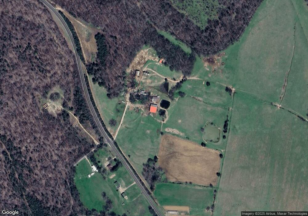
Map
Nearby Homes
- 339 Flatwoods School Rd
- 245 Horseshoe Bend Rd
- 293 Horseshoe Bend Rd
- 5273 Sinking Creek Rd
- 0K Hohenwald Hwy
- 2270 Waynesboro Hwy
- 0 New Era Ridge Rd Unit RTC2991826
- 0 New Era Ridge Rd Unit 25219806
- 0J Hohenwald Hwy
- 0 Whitwell Cemetery Rd
- 0 Sewell Branch Rd
- 0I Hohenwald Hwy
- 0G Toll Hollow Rd
- 0F Toll Hollow Rd
- 0C Toll Hollow Rd
- 0D Toll Hollow Rd
- 0H Toll Hollow Rd
- 0B Toll Hollow Rd
- 0E Toll Hollow Rd
- 148 J Harris Trail
- 10208 Highway 13 S
- 10270 Highway 13 S
- 9742 Highway 13 S
- 245 Four H Ln
- 9582 Tennessee 13
- 664 Old Mount Olive Rd
- 436 Four H Ln
- 638 Old Mount Olive Rd
- 56 Bridges Place Rd
- 586 Old Mount Olive Rd
- 9546 Highway 13 S
- 957 Old Mount Olive Rd
- 89 Bridges Place Rd
- 477 Old Mount Olive Rd
- 9339 Highway 13 S
- 184 Garcia Rd
- 280 Old Mount Olive Rd
- 194 Old Mount Olive Rd
- 0 Old Highway 13 - Mt Olive Unit 1698999
- 0 Mill Hollow Rd Unit 1617154