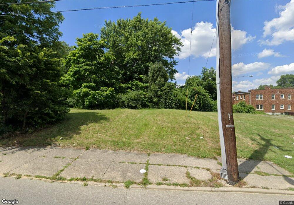
1018 Lincoln Ave Cincinnati, OH 45206
Walnut Hills NeighborhoodEstimated Value: $16,659
1
Bed
1
Bath
1,036
Sq Ft
$16/Sq Ft
Est. Value
About This Home
This home is located at 1018 Lincoln Ave, Cincinnati, OH 45206 and is currently estimated at $16,659, approximately $16 per square foot. 1018 Lincoln Ave is a home located in Hamilton County with nearby schools including Frederick Douglass Elementary School, Clark Montessori High School, and Robert A. Taft Information Technology High School.
Ownership History
Date
Name
Owned For
Owner Type
Purchase Details
Closed on
Sep 10, 2015
Sold by
State Of Ohio
Bought by
Hamilton County Land Reutilization Corpo
Current Estimated Value
Purchase Details
Closed on
Feb 5, 2001
Sold by
Newberry Reverend Donald E
Bought by
White Gloria Ann
Purchase Details
Closed on
Sep 9, 1999
Sold by
Estate Of Bertha Anderson
Bought by
Anderson William M and Anderson James
Create a Home Valuation Report for This Property
The Home Valuation Report is an in-depth analysis detailing your home's value as well as a comparison with similar homes in the area
Home Values in the Area
Average Home Value in this Area
Purchase History
| Date | Buyer | Sale Price | Title Company |
|---|---|---|---|
| Hamilton County Land Reutilization Corpo | -- | None Available | |
| White Gloria Ann | $7,000 | -- | |
| Anderson William M | -- | -- |
Source: Public Records
Tax History Compared to Growth
Tax History
| Year | Tax Paid | Tax Assessment Tax Assessment Total Assessment is a certain percentage of the fair market value that is determined by local assessors to be the total taxable value of land and additions on the property. | Land | Improvement |
|---|---|---|---|---|
| 2024 | -- | $4,410 | $4,410 | -- |
| 2023 | $0 | $4,410 | $4,410 | $0 |
| 2022 | $0 | $2,265 | $2,265 | $0 |
| 2021 | $1 | $2,265 | $2,265 | $0 |
| 2020 | $1 | $2,265 | $2,265 | $0 |
| 2019 | $1 | $2,265 | $2,265 | $0 |
| 2018 | $7 | $2,265 | $2,265 | $0 |
| 2017 | $6 | $2,265 | $2,265 | $0 |
| 2016 | $6 | $2,209 | $2,209 | $0 |
| 2015 | $2,088 | $2,209 | $2,209 | $0 |
| 2014 | $2,248 | $2,209 | $2,209 | $0 |
| 2013 | $2,661 | $2,254 | $2,254 | $0 |
Source: Public Records
Map
Nearby Homes
- 1019 Chapel St
- 856 Lincoln Ave
- 3025 Gilbert Ave
- 3021 Melrose Ave
- 3048 Gilbert Ave
- 1123 Yale Ave
- 3079 Kerper Ave
- 2705 Ashland Ave
- 2703 Ashland Ave
- 2651 Melrose Ave
- 2700 Ashland Ave
- 1335 Lincoln Ave
- 3219 Beresford Ave
- 2630 Stanton Ave
- 2612 Stanton Ave
- 813 Wm H Taft Rd
- 1524 Gilpin Ave
- 1382 Burdette Ave
- 3206 Gilbert Ave
- 2369 Park Ave
- 1021 Foraker Ave
- 1013 Foraker Ave
- 3011 Park Ave Unit 5
- 3011 Park Ave Unit 4
- 1011 Foraker Ave
- 3013 Park Ave
- 3011/3013 Park Ave
- 1005 Foraker Ave
- 1001 Lincoln Ave
- 2920 Monfort St
- 2911 Lincoln Ave
- 2918 Monfort St
- 921 Foraker Ave
- 920 Foraker Ave
- 933 Lincoln Ave
- 2917 Monfort St
- 2904 Park Ave
- 2913 Monfort St
- 1116 Lincoln Ave
- 943 Churchill Ave
