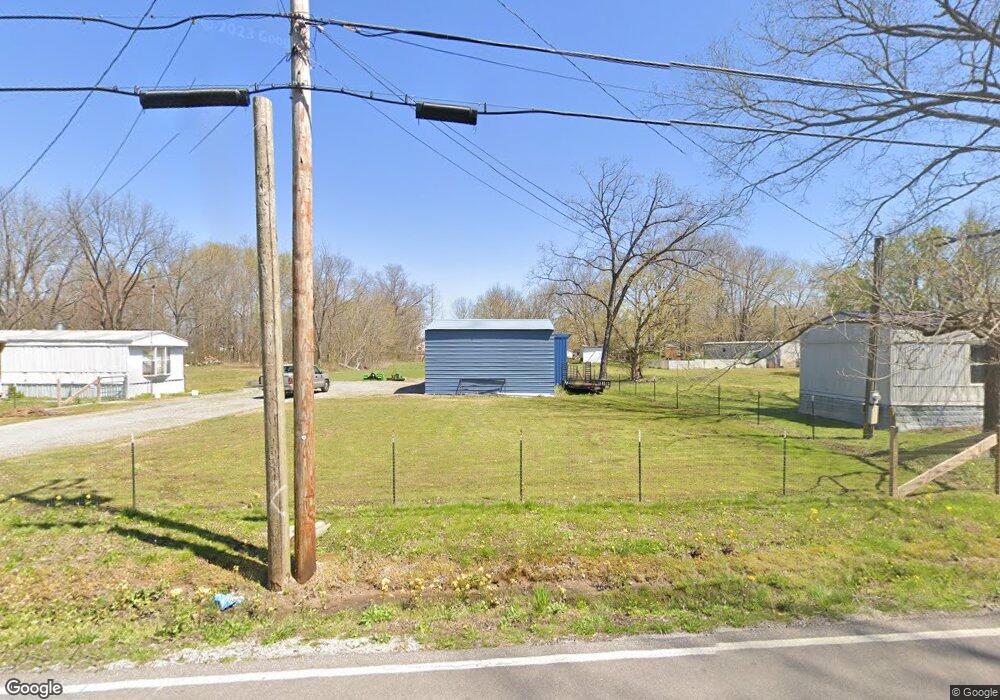
1018 Summitville Rd Manchester, TN 37355
Estimated Value: $76,000 - $183,000
--
Bed
1
Bath
1,092
Sq Ft
$115/Sq Ft
Est. Value
About This Home
This home is located at 1018 Summitville Rd, Manchester, TN 37355 and is currently estimated at $125,343, approximately $114 per square foot. 1018 Summitville Rd is a home located in Coffee County with nearby schools including East Coffee Elementary School, Coffee County Middle School, and Coffee County Central High School.
Ownership History
Date
Name
Owned For
Owner Type
Purchase Details
Closed on
Mar 7, 2009
Sold by
Jernigan Robin
Bought by
Onderka Richard
Current Estimated Value
Purchase Details
Closed on
Mar 17, 2000
Sold by
Robinson Mitchell
Bought by
Onderka Richard
Home Financials for this Owner
Home Financials are based on the most recent Mortgage that was taken out on this home.
Original Mortgage
$20,000
Interest Rate
8.37%
Purchase Details
Closed on
Jun 30, 1997
Sold by
Harpole Ernest and Harpole Ann
Bought by
Robinson Mitchell
Create a Home Valuation Report for This Property
The Home Valuation Report is an in-depth analysis detailing your home's value as well as a comparison with similar homes in the area
Home Values in the Area
Average Home Value in this Area
Purchase History
| Date | Buyer | Sale Price | Title Company |
|---|---|---|---|
| Onderka Richard | -- | -- | |
| Onderka Richard | $20,000 | -- | |
| Robinson Mitchell | -- | -- |
Source: Public Records
Mortgage History
| Date | Status | Borrower | Loan Amount |
|---|---|---|---|
| Previous Owner | Robinson Mitchell | $20,000 |
Source: Public Records
Tax History Compared to Growth
Tax History
| Year | Tax Paid | Tax Assessment Tax Assessment Total Assessment is a certain percentage of the fair market value that is determined by local assessors to be the total taxable value of land and additions on the property. | Land | Improvement |
|---|---|---|---|---|
| 2024 | $114 | $4,900 | $1,700 | $3,200 |
| 2023 | $114 | $4,900 | $0 | $0 |
| 2022 | $114 | $4,900 | $1,700 | $3,200 |
| 2021 | $62 | $2,125 | $2,125 | $0 |
| 2020 | $62 | $2,125 | $2,125 | $0 |
| 2019 | $62 | $2,125 | $2,125 | $0 |
| 2018 | $62 | $2,125 | $2,125 | $0 |
| 2017 | $63 | $1,925 | $1,925 | $0 |
| 2016 | $63 | $1,925 | $1,925 | $0 |
| 2015 | $63 | $1,925 | $1,925 | $0 |
| 2014 | $63 | $1,919 | $0 | $0 |
Source: Public Records
Map
Nearby Homes
- 2498 Sp Anderson Rd
- 667 Pete Sain Rd
- 7807 McMinnville Hwy Unit 7807
- 0 Ramsey Rd
- 0 Pete Sain Rd
- 363 Willow Brook Dr
- 300 Willow Brook Dr
- 2635 Pete Sain Rd
- 837 Circle Dr
- 781 Circle Dr
- 670 Old McMinnville Hwy
- 0 Mcafee Rd
- 0 Mcafee E Unit RTC2865293
- 1037 Mcafee Rd
- 967 Mud Creek Rd
- 105 Barbara Spears Rd
- 231 Tom Johnson Rd
- 4282 McMinnville Hwy Unit 4270
- 0 Hickerson Rd
- 1694 Mcafee Rd
- 1064 Summitville Rd
- 61 Shady Grove Rd
- 2 Shady Grove Rd
- 60 Shady Grove Rd
- 977 Summitville Rd
- 95 Shady Grove Rd
- 957 Summitville Rd
- 155 Shady Grove Rd
- 1121 Summitville Rd
- 173 Shady Grove Rd
- 1053 Summitville Rd
- 913 Summitville Rd
- 120 Shady Grove Rd
- 205 Shady Grove Rd
- 900 Summitville Rd
- 13 School St
- 210 Shady Grove Rd
- 73 Clark Rd
- 835 Summitville Rd
- 287 Shady Grove Rd