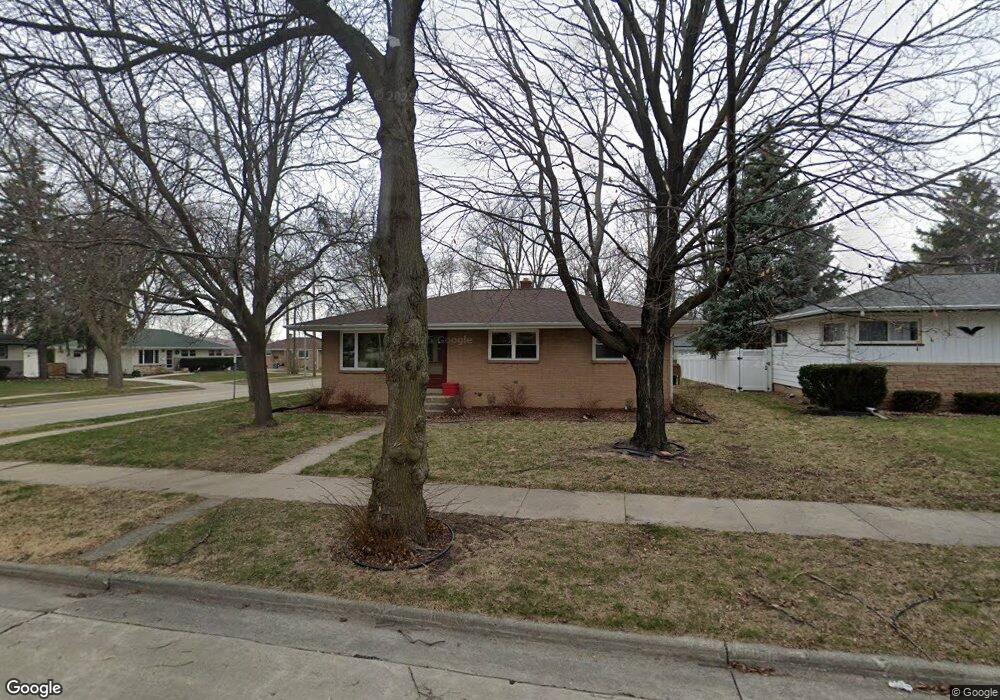
10184 W Harrison Ave Milwaukee, WI 53227
President Heights NeighborhoodEstimated Value: $289,000 - $306,000
--
Bed
--
Bath
1,177
Sq Ft
$252/Sq Ft
Est. Value
About This Home
This home is located at 10184 W Harrison Ave, Milwaukee, WI 53227 and is currently estimated at $296,800, approximately $252 per square foot. 10184 W Harrison Ave is a home located in Milwaukee County with nearby schools including Mitchell Elementary School, Lane Intermediate School, and Nathan Hale High School.
Ownership History
Date
Name
Owned For
Owner Type
Purchase Details
Closed on
Jan 14, 2025
Sold by
Richter Judy
Bought by
Richter Joshua
Current Estimated Value
Purchase Details
Closed on
Aug 27, 2024
Sold by
Johniton Revocable Trust and Richter Judy
Bought by
Sanger Michael D
Purchase Details
Closed on
Jun 30, 2008
Sold by
Johnston Ronald T and Johnston Arlene F
Bought by
The Johnston Revocable Trust
Create a Home Valuation Report for This Property
The Home Valuation Report is an in-depth analysis detailing your home's value as well as a comparison with similar homes in the area
Home Values in the Area
Average Home Value in this Area
Purchase History
| Date | Buyer | Sale Price | Title Company |
|---|---|---|---|
| Richter Joshua | -- | None Listed On Document | |
| Sanger Michael D | -- | Member State Bar Of Wisconsin | |
| The Johnston Revocable Trust | -- | None Available |
Source: Public Records
Tax History Compared to Growth
Tax History
| Year | Tax Paid | Tax Assessment Tax Assessment Total Assessment is a certain percentage of the fair market value that is determined by local assessors to be the total taxable value of land and additions on the property. | Land | Improvement |
|---|---|---|---|---|
| 2024 | $4,611 | $238,700 | $48,200 | $190,500 |
| 2023 | $4,048 | $146,400 | $25,900 | $120,500 |
| 2022 | $3,894 | $146,400 | $25,900 | $120,500 |
| 2021 | $3,801 | $146,400 | $25,900 | $120,500 |
| 2020 | $3,871 | $146,400 | $25,900 | $120,500 |
| 2019 | $3,728 | $146,400 | $25,900 | $120,500 |
| 2018 | $4,305 | $146,400 | $25,900 | $120,500 |
| 2017 | $3,934 | $146,400 | $25,900 | $120,500 |
| 2016 | $3,811 | $146,400 | $25,900 | $120,500 |
| 2015 | $3,813 | $146,400 | $25,900 | $120,500 |
| 2014 | $3,805 | $146,400 | $25,900 | $120,500 |
Source: Public Records
Map
Nearby Homes
- 2732 S 96th St
- 10433 W Manitoba St
- 9810 W Manitoba St
- 2472 S 95th St
- 9806 W Lincoln Ave
- 2450 S 95th St
- 10903 W Lincoln Ave
- 2343 S 95th St
- 3122 S 97th St
- 2172 S 98th St
- 3168 S 97th St
- 11444 W Montana Ave
- 88 W Becher St
- 2089 S 107th St
- 2104 S 98th St
- 3160 S 95th St
- 11401 W National Ave
- 9727 W Ohio Ave
- 2149 S 93rd St
- 2177 S 92nd St
- 10176 W Harrison Ave
- 10185 W National Ave
- 10168 W Harrison Ave
- 10179 W National Ave
- 2627 S 102nd St
- 2617 S 102nd St
- 2633 S 102nd St
- 10171 W National Ave
- 10181 W Harrison Ave
- 10205 W National Ave
- 10160 W Harrison Ave
- 2645 S 102nd St
- 10167 W National Ave
- 10213 W National Ave
- 10202 W Cleveland Ave
- 10154 W Harrison Ave
- 2609 W Alda Ct
- 2605 W Alda Ct
- 2655 S 102nd St
- 10159 W National Ave