10185 Cedarsong Rd Nevada City, CA 95959
Estimated Value: $392,413 - $506,000
2
Beds
1
Bath
1,240
Sq Ft
$357/Sq Ft
Est. Value
About This Home
This home is located at 10185 Cedarsong Rd, Nevada City, CA 95959 and is currently estimated at $443,138, approximately $357 per square foot. 10185 Cedarsong Rd is a home located in Nevada County with nearby schools including Bell Hill Academy, Margaret G. Scotten Elementary School, and Lyman Gilmore Middle School.
Ownership History
Date
Name
Owned For
Owner Type
Purchase Details
Closed on
Feb 15, 2016
Sold by
Swinney Lauren S and Swinney John P
Bought by
The Swinney Family Trust
Current Estimated Value
Home Financials for this Owner
Home Financials are based on the most recent Mortgage that was taken out on this home.
Original Mortgage
$241,500
Interest Rate
3.81%
Mortgage Type
New Conventional
Purchase Details
Closed on
Jan 6, 2015
Sold by
Swinney Lauren S and Swinney John P
Bought by
Swinney Family Trust
Home Financials for this Owner
Home Financials are based on the most recent Mortgage that was taken out on this home.
Original Mortgage
$251,000
Interest Rate
3.82%
Mortgage Type
New Conventional
Purchase Details
Closed on
Nov 18, 2013
Sold by
Swinney John P and Swinney Lauren S
Bought by
Swinney John P and Swinney Lauren S
Home Financials for this Owner
Home Financials are based on the most recent Mortgage that was taken out on this home.
Original Mortgage
$260,000
Interest Rate
4.08%
Mortgage Type
New Conventional
Purchase Details
Closed on
Mar 7, 2003
Sold by
Swinney Lauren S and Swinney John P
Bought by
Swinney John P and Swinney Lauren S
Home Financials for this Owner
Home Financials are based on the most recent Mortgage that was taken out on this home.
Original Mortgage
$300,000
Interest Rate
5.83%
Mortgage Type
Purchase Money Mortgage
Purchase Details
Closed on
Apr 25, 2002
Sold by
Swinney John P
Bought by
Swinney John P and Swinney Lauren S
Purchase Details
Closed on
Aug 20, 2001
Sold by
Swinney John P and Swinney Lauren S
Bought by
Swinney John P and Swinney Lauren S
Home Financials for this Owner
Home Financials are based on the most recent Mortgage that was taken out on this home.
Original Mortgage
$185,000
Interest Rate
7.05%
Mortgage Type
Purchase Money Mortgage
Purchase Details
Closed on
Sep 30, 1999
Sold by
Swinney and Lauren
Bought by
Swinney John P and Swinney Lauren S
Create a Home Valuation Report for This Property
The Home Valuation Report is an in-depth analysis detailing your home's value as well as a comparison with similar homes in the area
Home Values in the Area
Average Home Value in this Area
Purchase History
| Date | Buyer | Sale Price | Title Company |
|---|---|---|---|
| The Swinney Family Trust | -- | Nextitle | |
| Swinney Lauren S | -- | Nextitle | |
| Swinney Family Trust | -- | Nextitle | |
| Swinney Lauren S | -- | Nextitle | |
| Swinney John P | -- | Nextitle | |
| Swinney John P | -- | None Available | |
| Swinney John P | -- | Inter County Title | |
| Swinney John P | -- | Inter County Title | |
| Swinney John P | -- | Inter County Title Co | |
| Swinney John P | -- | Inter County Title Co | |
| Swinney John P | -- | Inter County Title Co | |
| Swinney John P | -- | Inter County Title Co | |
| Swinney John P | -- | Inter County Title Co | |
| Swinney John P | -- | -- |
Source: Public Records
Mortgage History
| Date | Status | Borrower | Loan Amount |
|---|---|---|---|
| Closed | Swinney Lauren S | $241,500 | |
| Closed | Swinney Lauren S | $251,000 | |
| Closed | Swinney John P | $260,000 | |
| Closed | Swinney John P | $300,000 | |
| Closed | Swinney John P | $185,000 |
Source: Public Records
Tax History Compared to Growth
Tax History
| Year | Tax Paid | Tax Assessment Tax Assessment Total Assessment is a certain percentage of the fair market value that is determined by local assessors to be the total taxable value of land and additions on the property. | Land | Improvement |
|---|---|---|---|---|
| 2025 | $2,183 | $194,746 | $85,817 | $108,929 |
| 2024 | $2,135 | $190,929 | $84,135 | $106,794 |
| 2023 | $2,135 | $187,186 | $82,486 | $104,700 |
| 2022 | $2,089 | $183,517 | $80,869 | $102,648 |
| 2021 | $2,024 | $179,920 | $79,284 | $100,636 |
| 2020 | $2,016 | $178,077 | $78,472 | $99,605 |
| 2019 | $1,973 | $174,586 | $76,934 | $97,652 |
| 2018 | $1,932 | $171,164 | $75,426 | $95,738 |
| 2017 | $1,893 | $167,809 | $73,948 | $93,861 |
| 2016 | $1,825 | $164,520 | $72,499 | $92,021 |
| 2015 | $1,797 | $162,049 | $71,410 | $90,639 |
| 2014 | $1,797 | $158,876 | $70,012 | $88,864 |
Source: Public Records
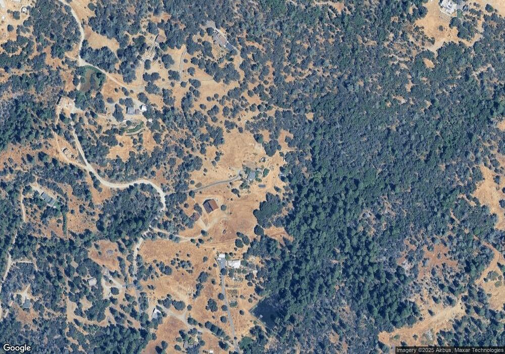
Map
Nearby Homes
- 13000 Diamond Oaks Dr
- 13118 Cement Hill Rd
- 10417 Tasha Rd
- 10980 Newtown Rd
- 11065 White Oak Way
- 10402 Newtown Rd
- 12069 Newtown Rd
- 12141 Newtown Rd
- 10875 Will O Wisp Ct
- 10265 Newtown Rd
- 10943 Beckville Rd
- 12777 Daisy Blue Mine Rd
- 16934 Indian Flat Rd
- 11790 Lowhills Rd
- 11880 Lost Ranch Way
- 12776 Little Deer Creek Ln
- 11094 Cement Hill Rd
- 13433 Newtown Rd
- 13560 Hopeful Hill Rd
- 12423 Lowhills Rd
- 10141 Cedarsong Rd
- 10247 Cedarsong Rd
- 10417 Cedarsong Rd
- 10070 Garesio Ranch Rd
- 10080 Cedarsong Rd
- 18895 State Highway 49
- 10019 Garesio Ranch Rd
- 10264 Cedarsong Rd
- 10348 Cedarsong Rd
- 13543 Cement Hill Rd
- 18631 State Highway 49
- 10129 Sun Shadow Cir
- 18561 State Highway 49
- 10161 Sun Shadow Cir
- 18963 State Highway 49
- 10696 Cedarsong Rd
- 10501 Sun Shadow Cir
- 10500 Sun Shadow Cir