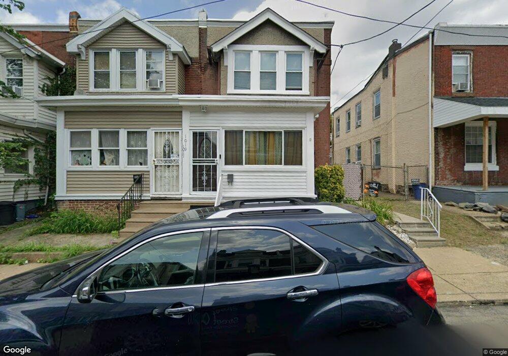
1019 Fillmore St Philadelphia, PA 19124
Frankford NeighborhoodEstimated Value: $195,385 - $236,000
3
Beds
1
Bath
1,188
Sq Ft
$175/Sq Ft
Est. Value
About This Home
This home is located at 1019 Fillmore St, Philadelphia, PA 19124 and is currently estimated at $208,346, approximately $175 per square foot. 1019 Fillmore St is a home located in Philadelphia County with nearby schools including Frankford High School, The Philadelphia Charter School for the Arts & Sciences, and Northwood Academy Charter School.
Ownership History
Date
Name
Owned For
Owner Type
Purchase Details
Closed on
Nov 30, 2000
Sold by
Davis Lawrence C and Davis Joyce M
Bought by
Dyson Traci
Current Estimated Value
Home Financials for this Owner
Home Financials are based on the most recent Mortgage that was taken out on this home.
Original Mortgage
$59,869
Outstanding Balance
$21,396
Interest Rate
7.64%
Mortgage Type
FHA
Estimated Equity
$186,950
Create a Home Valuation Report for This Property
The Home Valuation Report is an in-depth analysis detailing your home's value as well as a comparison with similar homes in the area
Home Values in the Area
Average Home Value in this Area
Purchase History
| Date | Buyer | Sale Price | Title Company |
|---|---|---|---|
| Dyson Traci | $59,900 | -- |
Source: Public Records
Mortgage History
| Date | Status | Borrower | Loan Amount |
|---|---|---|---|
| Open | Dyson Traci | $59,869 |
Source: Public Records
Tax History Compared to Growth
Tax History
| Year | Tax Paid | Tax Assessment Tax Assessment Total Assessment is a certain percentage of the fair market value that is determined by local assessors to be the total taxable value of land and additions on the property. | Land | Improvement |
|---|---|---|---|---|
| 2026 | $2,163 | $182,700 | $36,540 | $146,160 |
| 2025 | $2,163 | $182,700 | $36,540 | $146,160 |
| 2024 | $2,163 | $182,700 | $36,540 | $146,160 |
| 2023 | $2,163 | $154,500 | $30,900 | $123,600 |
| 2022 | $1,027 | $109,500 | $30,900 | $78,600 |
| 2021 | $1,657 | $0 | $0 | $0 |
| 2020 | $1,657 | $0 | $0 | $0 |
| 2019 | $1,590 | $0 | $0 | $0 |
| 2018 | $1,634 | $0 | $0 | $0 |
| 2017 | $1,634 | $0 | $0 | $0 |
| 2016 | $1,214 | $0 | $0 | $0 |
| 2015 | $1,162 | $0 | $0 | $0 |
| 2014 | -- | $116,700 | $17,314 | $99,386 |
| 2012 | -- | $10,880 | $959 | $9,921 |
Source: Public Records
Map
Nearby Homes
- 1052 Allengrove St
- 1859 Harrison St
- 4717 Northwood St
- 1001-3 Arrott St
- 926 Foulkrod St
- 1208 Haworth St
- 1300 Harrison St
- 1214 Haworth St
- 1335 Fillmore St
- 4046 E Roosevelt Blvd
- 4632 Oakland St
- 5118 Oakland St
- 4600 Horrocks St
- 1204 Pratt St
- 1241 Orthodox St
- 5033 Akron St
- 1218 Pratt St
- 1220 Pratt St
- 4628 Pilling St
- 4626 Pilling St
- 1017 Fillmore St
- 1021 Fillmore St
- 1015 Fillmore St
- 1023 Fillmore St
- 1013 Fillmore St
- 1025 Fillmore St
- 4710 Large St
- 1011 Fillmore St
- 1027 Fillmore St
- 1010 Harrison St
- 1008 Harrison St
- 1016 Fillmore St
- 1006 Harrison St
- 1012 Harrison St
- 1029 Fillmore St
- 1004 Harrison St
- 1020 Fillmore St
- 1018 Fillmore St
- 1022 Fillmore St
- 1014 Fillmore St