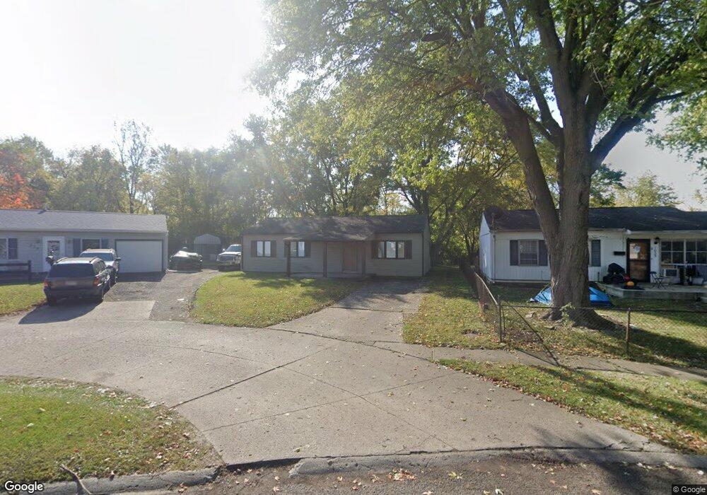
1019 National Drive Marion Out of Area, OH
Estimated Value: $126,000 - $151,000
3
Beds
1
Bath
1,050
Sq Ft
$129/Sq Ft
Est. Value
About This Home
This home is located at 1019 National Drive Marion, Out of Area, OH and is currently estimated at $135,808, approximately $129 per square foot. 1019 National Drive Marion is a home located in Marion County with nearby schools including James A. Garfield Elementary School, Ulysses S. Grant Middle School, and Harding High School.
Ownership History
Date
Name
Owned For
Owner Type
Purchase Details
Closed on
May 25, 2016
Sold by
Heffner William W and Heffner Angela Marie
Bought by
Stultz Robert D
Current Estimated Value
Purchase Details
Closed on
Apr 22, 2014
Bought by
Stultz Robert D
Purchase Details
Closed on
Apr 17, 2014
Bought by
Stultz Robert D
Purchase Details
Closed on
Sep 18, 2009
Sold by
Deutsche Bank National Trust Co
Bought by
Corrodi Jamin
Purchase Details
Closed on
Apr 27, 2009
Sold by
Reese Gina M
Bought by
Deutsche Bank National Trust Co and Lsf6 Mercury Reo Investment Trust
Create a Home Valuation Report for This Property
The Home Valuation Report is an in-depth analysis detailing your home's value as well as a comparison with similar homes in the area
Home Values in the Area
Average Home Value in this Area
Purchase History
| Date | Buyer | Sale Price | Title Company |
|---|---|---|---|
| Stultz Robert D | $6,300 | None Available | |
| Stultz Robert D | $9,500 | -- | |
| Stultz Robert D | -- | -- | |
| Corrodi Jamin | $15,500 | None Available | |
| Deutsche Bank National Trust Co | $26,667 | None Available |
Source: Public Records
Tax History Compared to Growth
Tax History
| Year | Tax Paid | Tax Assessment Tax Assessment Total Assessment is a certain percentage of the fair market value that is determined by local assessors to be the total taxable value of land and additions on the property. | Land | Improvement |
|---|---|---|---|---|
| 2024 | $1,031 | $26,860 | $3,160 | $23,700 |
| 2023 | $1,031 | $26,860 | $3,160 | $23,700 |
| 2022 | $957 | $26,860 | $3,160 | $23,700 |
| 2021 | $830 | $20,960 | $2,740 | $18,220 |
| 2020 | $832 | $20,960 | $2,740 | $18,220 |
| 2019 | $831 | $20,960 | $2,740 | $18,220 |
| 2018 | $441 | $11,090 | $2,740 | $8,350 |
| 2017 | $447 | $11,090 | $2,740 | $8,350 |
| 2016 | $443 | $11,090 | $2,740 | $8,350 |
| 2015 | $435 | $10,660 | $2,450 | $8,210 |
| 2014 | $437 | $10,660 | $2,450 | $8,210 |
| 2012 | $626 | $15,210 | $2,480 | $12,730 |
Source: Public Records
Map
Nearby Homes
- 472 Clinton St
- 950 Oak Grove Ave
- 625 Rochelle Dr
- 407 Latourette St
- 889 Oak Grove Ave
- 824 Oak Grove Ave
- 383 Brentwood Dr
- 796 Woodrow Ave
- 579 Henry St
- 668 Uncapher Ave
- 403 Uncapher Ave
- 645 Henry St
- 512 Henry St
- 716 Uncapher Ave
- 720 Woodrow Ave
- 681 Davids St
- 757 Merkle Ave
- 786 Sheridan Rd
- 772 Sheridan Rd
- 0 Bellefontaine Ave
- 1019 National Dr
- 1025 National Dr
- 554 Saint Gallen St
- 1031 National Dr
- 548 Saint Gallen St
- 1037 National Dr
- 1030 National Dr
- 542 Saint Gallen St
- 1043 National Dr
- 537 Saint Gallen St
- 536 Saint Gallen St
- 1040 National Dr
- 1049 National Dr
- 531 Saint Gallen St
- 530 Saint Gallen St
- 536 Swiss Dr
- 1055 National Dr
- 525 Saint Gallen St
- 530 Swiss Dr
- 524 Saint Gallen St