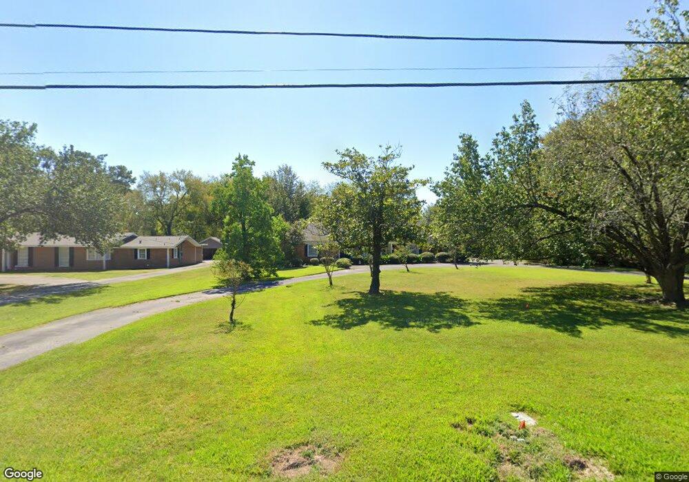
1019 Sherwood Rd Lufkin, TX 75904
Estimated Value: $277,839 - $319,000
4
Beds
3
Baths
2,966
Sq Ft
$101/Sq Ft
Est. Value
About This Home
This home is located at 1019 Sherwood Rd, Lufkin, TX 75904 and is currently estimated at $299,460, approximately $100 per square foot. 1019 Sherwood Rd is a home located in Angelina County with nearby schools including Trout Primary School, Brookhollow Elementary School, and Lufkin Middle School.
Ownership History
Date
Name
Owned For
Owner Type
Purchase Details
Closed on
Oct 21, 2005
Sold by
Henry Daniel B and Henry Claudette F
Bought by
Jones Ralph R and Jones Jennifer B
Current Estimated Value
Home Financials for this Owner
Home Financials are based on the most recent Mortgage that was taken out on this home.
Original Mortgage
$150,000
Interest Rate
5.69%
Mortgage Type
New Conventional
Create a Home Valuation Report for This Property
The Home Valuation Report is an in-depth analysis detailing your home's value as well as a comparison with similar homes in the area
Home Values in the Area
Average Home Value in this Area
Purchase History
| Date | Buyer | Sale Price | Title Company |
|---|---|---|---|
| Jones Ralph R | $150,000 | None Available |
Source: Public Records
Mortgage History
| Date | Status | Borrower | Loan Amount |
|---|---|---|---|
| Closed | Jones Ralph R | $150,000 |
Source: Public Records
Tax History Compared to Growth
Tax History
| Year | Tax Paid | Tax Assessment Tax Assessment Total Assessment is a certain percentage of the fair market value that is determined by local assessors to be the total taxable value of land and additions on the property. | Land | Improvement |
|---|---|---|---|---|
| 2025 | $7,008 | $337,580 | $36,150 | $301,430 |
| 2024 | $6,371 | $330,660 | $36,150 | $294,510 |
| 2023 | $5,507 | $326,470 | $36,150 | $290,320 |
| 2022 | $5,738 | $274,260 | $12,400 | $261,860 |
| 2021 | $5,642 | $238,550 | $12,400 | $226,150 |
| 2020 | $5,117 | $208,210 | $12,400 | $195,810 |
| 2019 | $5,466 | $210,290 | $12,400 | $197,890 |
| 2018 | $3,689 | $205,990 | $12,400 | $193,590 |
| 2017 | $3,689 | $195,460 | $12,400 | $183,060 |
| 2016 | $4,572 | $191,790 | $12,400 | $179,390 |
| 2015 | $3,681 | $191,870 | $12,400 | $179,470 |
| 2014 | $3,681 | $189,050 | $12,400 | $176,650 |
Source: Public Records
Map
Nearby Homes
- 715 Pine Tree Ln
- 909 Covington Dr
- 910 Russell Ave
- 603 Morrow Ave
- 900 Wildbriar Dr
- 911 Evans Dr
- 297 White Oak Dr
- 915 Evans Dr
- 1025 Mcgregor Dr
- 911 Allendale Dr
- 1202 Mimosa St
- 420 Vine Dr
- 1201 Pierce St
- 1703 Pershing Ave
- 825 Hanks St
- 801 Duren St
- 1105 Johnson Ave
- 609 Calvin St
- 1507 Pershing Ave
- 328 Sunset Blvd
- 1015 Sherwood Rd
- 1003 Southwood Dr
- 1001 Southwood Dr
- 1007 Southwood Dr
- 1011 Sherwood Rd
- 917 Southwood Dr
- 1101 Southwood Dr
- 714 Pinetree Ln
- 1008 Sherwood Rd
- 1006 Sherwood Rd
- 714 Pine Tree Ln
- 710 Pinetree Ln
- 1006 Southwood Dr
- 1103 Southwood Dr
- 1103 Southwood Dr
- 1005 Sherwood Rd
- 1010 Southwood Dr
- 1002 Southwood Dr
- 1102 Southwood Dr
- 1004 Sherwood Rd