10195 Nicole Dr Brownsburg, IN 46112
Estimated Value: $404,000 - $553,383
4
Beds
3
Baths
3,560
Sq Ft
$139/Sq Ft
Est. Value
About This Home
This home is located at 10195 Nicole Dr, Brownsburg, IN 46112 and is currently estimated at $495,596, approximately $139 per square foot. 10195 Nicole Dr is a home located in Hendricks County with nearby schools including Brownsburg East Middle School, Brownsburg High School, and Bethesda Christian Schools.
Ownership History
Date
Name
Owned For
Owner Type
Purchase Details
Closed on
Oct 12, 2006
Sold by
Reffeitt Michael G and Reffeitt Shelly D
Bought by
Price David and Price Beth
Current Estimated Value
Home Financials for this Owner
Home Financials are based on the most recent Mortgage that was taken out on this home.
Original Mortgage
$227,900
Outstanding Balance
$136,293
Interest Rate
6.5%
Mortgage Type
New Conventional
Estimated Equity
$359,303
Create a Home Valuation Report for This Property
The Home Valuation Report is an in-depth analysis detailing your home's value as well as a comparison with similar homes in the area
Home Values in the Area
Average Home Value in this Area
Purchase History
| Date | Buyer | Sale Price | Title Company |
|---|---|---|---|
| Price David | -- | None Available |
Source: Public Records
Mortgage History
| Date | Status | Borrower | Loan Amount |
|---|---|---|---|
| Open | Price David | $227,900 |
Source: Public Records
Tax History Compared to Growth
Tax History
| Year | Tax Paid | Tax Assessment Tax Assessment Total Assessment is a certain percentage of the fair market value that is determined by local assessors to be the total taxable value of land and additions on the property. | Land | Improvement |
|---|---|---|---|---|
| 2024 | $5,179 | $507,900 | $73,200 | $434,700 |
| 2023 | $4,859 | $475,900 | $66,600 | $409,300 |
| 2022 | $4,481 | $438,100 | $63,100 | $375,000 |
| 2021 | $3,974 | $387,400 | $63,100 | $324,300 |
| 2020 | $3,739 | $363,900 | $63,100 | $300,800 |
| 2019 | $3,739 | $363,900 | $63,100 | $300,800 |
| 2018 | $3,504 | $347,400 | $63,100 | $284,300 |
| 2017 | $3,254 | $322,400 | $56,300 | $266,100 |
| 2016 | $3,137 | $310,700 | $56,300 | $254,400 |
| 2014 | $2,870 | $287,000 | $54,300 | $232,700 |
Source: Public Records
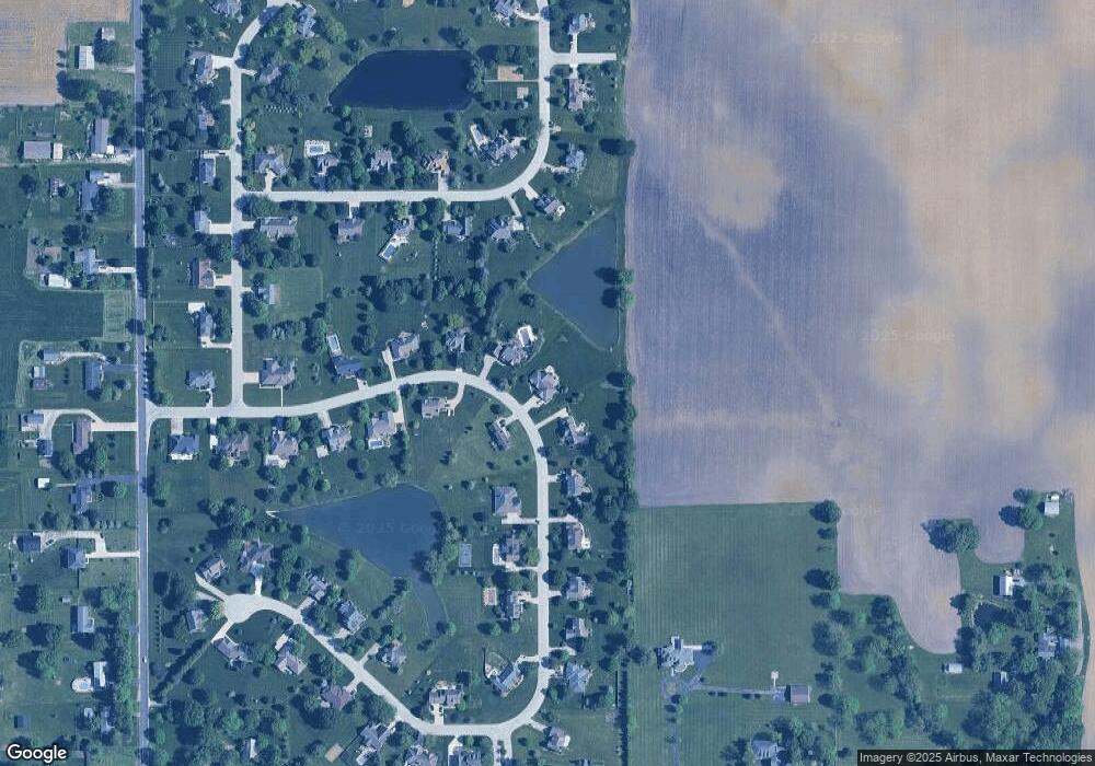
Map
Nearby Homes
- 9758 Nicole Ln
- 10705 N State Road 267
- 9345 N County Road 800 E
- 7310 E County Road 1000 N
- 10496 N State Road 267
- 9311 Shady Bend
- 4990 E County Road 750 S
- 6872 E County Road 1000 N
- 7446 Legends Way
- 9885 E County Road 1000 N
- 6801 S 425 E
- 6901 S 425 E
- 5685 Stetson Dr
- 5713 Stetson Dr
- 5719 Stetson Dr
- 6736 Sonora Blvd
- 6027 Brentwood Trace
- 7362 Farlin Dr
- 7806 Sea Eagle Cir
- 6775 S 475 E
- 10177 Nicole Dr
- 10213 Nicole Dr
- 10202 Nicole Dr
- 10233 Nicole Dr
- 10167 Nicole Dr
- 10238 Nicole Dr
- 10442 Breezeway Cir
- 10160 Nicole Dr
- 10394 Breezeway Cir
- 10267 Nicole Dr
- 10456 Breezeway Cir
- 10155 Nicole Dr
- 10138 Nicole Dr
- 10258 Nicole Dr
- 10269 Breezeway Cir
- 10468 Breezeway Cir
- 10388 Breezeway Cir
- 10285 Nicole Dr
- 10127 Nicole Dr
- 10292 Nicole Dr