Estimated Value: $125,000 - $169,000
2
Beds
1
Bath
964
Sq Ft
$149/Sq Ft
Est. Value
About This Home
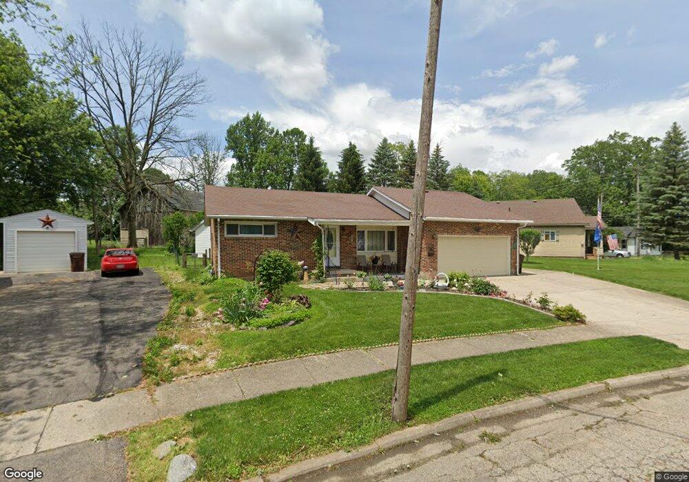
This home is located at 102 Deland Dr, Eaton, OH 45320 and is currently estimated at $144,041, approximately $149 per square foot. 102 Deland Dr is a home located in Preble County with nearby schools including Hollingsworth East Elementary School, William Bruce Elementary School, and Eaton Middle School.
Ownership History
Date
Name
Owned For
Owner Type
Purchase Details
Closed on
Jun 22, 2022
Sold by
Michelle Aten
Bought by
Ln Investment2022 Llc
Current Estimated Value
Purchase Details
Closed on
Aug 25, 1999
Sold by
Chandler Deemer
Bought by
Mowen Paul E and Mowen Bonnie
Home Financials for this Owner
Home Financials are based on the most recent Mortgage that was taken out on this home.
Original Mortgage
$30,000
Interest Rate
7.61%
Mortgage Type
New Conventional
Create a Home Valuation Report for This Property
The Home Valuation Report is an in-depth analysis detailing your home's value as well as a comparison with similar homes in the area
Home Values in the Area
Average Home Value in this Area
Purchase History
| Date | Buyer | Sale Price | Title Company |
|---|---|---|---|
| Ln Investment2022 Llc | -- | Freedom Title Company | |
| Mowen Paul E | $67,000 | -- |
Source: Public Records
Mortgage History
| Date | Status | Borrower | Loan Amount |
|---|---|---|---|
| Previous Owner | Mowen Paul E | $30,000 |
Source: Public Records
Tax History Compared to Growth
Tax History
| Year | Tax Paid | Tax Assessment Tax Assessment Total Assessment is a certain percentage of the fair market value that is determined by local assessors to be the total taxable value of land and additions on the property. | Land | Improvement |
|---|---|---|---|---|
| 2024 | $1,515 | $42,350 | $7,140 | $35,210 |
| 2023 | $1,515 | $42,350 | $7,140 | $35,210 |
| 2022 | $1,308 | $29,930 | $5,670 | $24,260 |
| 2021 | $1,371 | $29,930 | $5,670 | $24,260 |
| 2020 | $1,321 | $29,930 | $5,670 | $24,260 |
| 2019 | $1,111 | $24,610 | $5,220 | $19,390 |
| 2018 | $1,144 | $24,610 | $5,220 | $19,390 |
| 2017 | $1,044 | $24,610 | $5,220 | $19,390 |
| 2016 | $1,063 | $24,680 | $5,040 | $19,640 |
| 2014 | $1,046 | $24,680 | $5,040 | $19,640 |
| 2013 | $1,079 | $24,675 | $5,040 | $19,635 |
Source: Public Records
Map
Nearby Homes
- 405 Walnut St
- 115 Woodland Dr
- 308 Hubble St
- 111 W High St
- 233 N Barron St
- 124 Deem St
- 115 E Decatur St
- 125 E Decatur St
- 0-00 Washington Jackson Rd
- 219 E High St
- 331 W Chicago St
- 612 N Cherry St
- 230 W Spring St
- 210 W Spring St
- 414 N Maple St
- 217 E Eidson St
- 919 N Barron St
- 117 Vine St
- 105 Leatherman Place
- 130 E Chicago St
- 104 Deland Dr
- 225 Eaton Richmond Pike
- 106 Deland Dr
- 101 Deland Dr
- 108 Deland Dr
- 210 Eaton Richmond Pike
- 209 Eaton Richmond Pike
- 104 Elain Ave
- 200 Eaton Richmond Pike
- 116 Deland Dr
- 220 Richmond Pike
- 114 Deland Dr
- 110 Deland Dr
- 108 Sunrise Cir
- 106 Elaine Ave
- 106 Elain Ave
- 103 Deland Dr
- 205 Eaton Richmond Pike
- 118 Deland Dr
- 112 Deland Dr