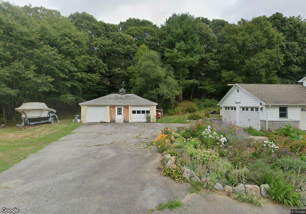
102 Hewitt Rd Mystic, CT 06355
Mystic NeighborhoodEstimated Value: $604,000 - $654,000
4
Beds
3
Baths
1,252
Sq Ft
$502/Sq Ft
Est. Value
About This Home
This home is located at 102 Hewitt Rd, Mystic, CT 06355 and is currently estimated at $628,596, approximately $502 per square foot. 102 Hewitt Rd is a home with nearby schools including Stonington Middle School and Stonington High School.
Ownership History
Date
Name
Owned For
Owner Type
Purchase Details
Closed on
Mar 27, 2003
Sold by
Jones Donald and Jones Julie
Bought by
Kapell Robert and Kapell Lauren
Current Estimated Value
Home Financials for this Owner
Home Financials are based on the most recent Mortgage that was taken out on this home.
Original Mortgage
$233,740
Interest Rate
5.91%
Mortgage Type
Purchase Money Mortgage
Purchase Details
Closed on
Aug 8, 1997
Sold by
Hallisey Kevin P and Hallisey Heidi M
Bought by
Jones Julie M and Jones Donald E
Create a Home Valuation Report for This Property
The Home Valuation Report is an in-depth analysis detailing your home's value as well as a comparison with similar homes in the area
Home Values in the Area
Average Home Value in this Area
Purchase History
| Date | Buyer | Sale Price | Title Company |
|---|---|---|---|
| Kapell Robert | $260,000 | -- | |
| Kapell Robert | $260,000 | -- | |
| Jones Julie M | $165,000 | -- | |
| Jones Julie M | $165,000 | -- |
Source: Public Records
Mortgage History
| Date | Status | Borrower | Loan Amount |
|---|---|---|---|
| Open | Jones Julie M | $250,600 | |
| Closed | Jones Julie M | $265,000 | |
| Closed | Jones Julie M | $233,740 |
Source: Public Records
Tax History Compared to Growth
Tax History
| Year | Tax Paid | Tax Assessment Tax Assessment Total Assessment is a certain percentage of the fair market value that is determined by local assessors to be the total taxable value of land and additions on the property. | Land | Improvement |
|---|---|---|---|---|
| 2025 | $6,601 | $340,600 | $139,500 | $201,100 |
| 2024 | $6,335 | $340,600 | $139,500 | $201,100 |
| 2023 | $6,301 | $340,600 | $139,500 | $201,100 |
| 2022 | $4,892 | $196,400 | $85,800 | $110,600 |
| 2021 | $4,930 | $196,400 | $85,800 | $110,600 |
| 2020 | $4,833 | $196,400 | $85,800 | $110,600 |
| 2019 | $4,833 | $196,400 | $85,800 | $110,600 |
| 2018 | $4,680 | $196,400 | $85,800 | $110,600 |
| 2017 | $4,328 | $180,100 | $85,800 | $94,300 |
| 2016 | $4,207 | $180,100 | $85,800 | $94,300 |
| 2015 | $3,710 | $166,600 | $85,800 | $80,800 |
| 2014 | $3,804 | $179,200 | $85,800 | $93,400 |
Source: Public Records
Map
Nearby Homes
- 0 Smail St Unit 24066473
- 44 Williams Ave
- 20 Lambs Way
- 215 Pequotsepos Rd
- 17 Roosevelt Ave
- 38 Rossie St
- 9 Kingfisher Way
- 6 Kingfisher Way
- 17 Old Stonington Rd
- 30 Cove Rd
- 28 Rossie St
- 6 Rogers Dr
- 8 Joyce St
- 32 E Main St
- 39 Gledhill Ave
- 3 Stanton Place
- 59 Montauk Ave
- 301 Montauk Ave
- 10 Pleasant St
- 75 Montauk Ave