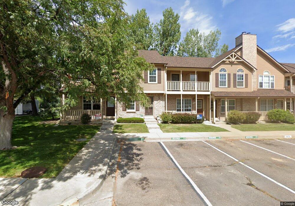
102 Pheasant Run Louisville, CO 80027
Estimated Value: $359,965 - $424,000
2
Beds
2
Baths
1,056
Sq Ft
$380/Sq Ft
Est. Value
About This Home
This home is located at 102 Pheasant Run, Louisville, CO 80027 and is currently estimated at $401,491, approximately $380 per square foot. 102 Pheasant Run is a home located in Boulder County with nearby schools including Coal Creek Elementary School, Louisville Middle School, and Monarch High School.
Ownership History
Date
Name
Owned For
Owner Type
Purchase Details
Closed on
Sep 18, 2013
Sold by
City Of Louisville
Bought by
Womack Betty T
Current Estimated Value
Purchase Details
Closed on
Jun 25, 2010
Sold by
City Of Louisville
Bought by
Overmyer Bruce
Purchase Details
Closed on
Nov 19, 1990
Bought by
Overmyer Bruce M
Purchase Details
Closed on
Aug 27, 1990
Bought by
Overmyer Bruce M
Purchase Details
Closed on
May 26, 1989
Bought by
Overmyer Bruce M
Purchase Details
Closed on
Nov 12, 1985
Bought by
Overmyer Bruce M
Create a Home Valuation Report for This Property
The Home Valuation Report is an in-depth analysis detailing your home's value as well as a comparison with similar homes in the area
Home Values in the Area
Average Home Value in this Area
Purchase History
| Date | Buyer | Sale Price | Title Company |
|---|---|---|---|
| Womack Betty T | $2,191 | None Available | |
| Overmyer Bruce | $2,022 | None Available | |
| Overmyer Bruce M | $51,500 | -- | |
| Overmyer Bruce M | $42,000 | -- | |
| Overmyer Bruce M | $73,600 | -- | |
| Overmyer Bruce M | $75,000 | -- |
Source: Public Records
Tax History Compared to Growth
Tax History
| Year | Tax Paid | Tax Assessment Tax Assessment Total Assessment is a certain percentage of the fair market value that is determined by local assessors to be the total taxable value of land and additions on the property. | Land | Improvement |
|---|---|---|---|---|
| 2025 | $1,142 | $25,500 | $7,650 | $17,850 |
| 2024 | $1,142 | $25,500 | $7,650 | $17,850 |
| 2023 | $1,122 | $19,403 | $9,353 | $13,735 |
| 2022 | $1,257 | $20,016 | $7,416 | $12,600 |
| 2021 | $1,245 | $20,592 | $7,629 | $12,963 |
| 2020 | $1,430 | $22,430 | $6,292 | $16,138 |
| 2019 | $1,410 | $22,430 | $6,292 | $16,138 |
| 2018 | $1,111 | $19,634 | $3,240 | $16,394 |
| 2017 | $1,089 | $21,707 | $3,582 | $18,125 |
| 2016 | $1,436 | $16,326 | $3,980 | $12,346 |
| 2015 | $1,361 | $14,614 | $5,890 | $8,724 |
| 2014 | $1,249 | $14,614 | $5,890 | $8,724 |
Source: Public Records
Map
Nearby Homes
- 142 Pheasant Run
- 152 Pheasant Run
- 253 W Cedar Way
- 338 Pheasant Run
- 1615 Cottonwood Dr Unit 9
- 1612 Cottonwood Dr Unit 11W
- 419 Centennial Dr
- 1608 Cottonwood Dr Unit 11
- 1919 Quail Ct
- 357 W Harper St
- 215 Sunland St
- 322 W Harper St
- 1420 N Franklin Ct
- 1610 Longs Peak Dr
- 207 Short Place
- 1851 Gallagher Ln
- 1655 Main St
- 501 W Linden St
- 1856 Kalel Ln
- 1117 Lincoln Ave
- 100 Pheasant Run
- 110 Pheasant Run
- 112 Pheasant Run
- 114 Pheasant Run
- 116 Pheasant Run
- 284 Regal St
- 118 Pheasant Run
- 258 Regal St
- 107 Pheasant Run
- 105 Pheasant Run
- 103 Pheasant Run
- 109 Pheasant Run
- 111 Pheasant Run
- 101 Pheasant Run
- 226 Regal St
- 115 Pheasant Run
- 117 Pheasant Run
- 307 Eisenhower Dr
- 192 Regal St
- 302 Eisenhower Dr