102 W Huron Ct North East, MD 21901
Estimated Value: $113,000 - $296,000
--
Bed
--
Bath
--
Sq Ft
7,841
Sq Ft Lot
About This Home
This home is located at 102 W Huron Ct, North East, MD 21901 and is currently estimated at $178,667. 102 W Huron Ct is a home located in Cecil County with nearby schools including Bay View Elementary School, North East Middle School, and North East High School.
Ownership History
Date
Name
Owned For
Owner Type
Purchase Details
Closed on
Aug 30, 2022
Sold by
Inchs Properties Llc
Bought by
Inchs Properties Md Llc
Current Estimated Value
Purchase Details
Closed on
Jun 30, 2022
Sold by
James Appel
Bought by
Inchs Properties Llc
Purchase Details
Closed on
Dec 27, 2001
Sold by
Stanley Nettie
Bought by
Post Forrest
Purchase Details
Closed on
Sep 11, 1990
Sold by
Pemil, Inc.
Bought by
Stanley Nettie
Home Financials for this Owner
Home Financials are based on the most recent Mortgage that was taken out on this home.
Original Mortgage
$23,900
Interest Rate
10.19%
Create a Home Valuation Report for This Property
The Home Valuation Report is an in-depth analysis detailing your home's value as well as a comparison with similar homes in the area
Home Values in the Area
Average Home Value in this Area
Purchase History
| Date | Buyer | Sale Price | Title Company |
|---|---|---|---|
| Inchs Properties Md Llc | -- | -- | |
| Inchs Properties Md Llc | -- | None Listed On Document | |
| Inchs Properties Llc | $4,515 | None Listed On Document | |
| Post Forrest | $38,000 | -- | |
| Stanley Nettie | $28,900 | -- |
Source: Public Records
Mortgage History
| Date | Status | Borrower | Loan Amount |
|---|---|---|---|
| Previous Owner | Stanley Nettie | $23,900 | |
| Closed | Post Forrest | -- |
Source: Public Records
Tax History Compared to Growth
Tax History
| Year | Tax Paid | Tax Assessment Tax Assessment Total Assessment is a certain percentage of the fair market value that is determined by local assessors to be the total taxable value of land and additions on the property. | Land | Improvement |
|---|---|---|---|---|
| 2025 | $62 | $5,700 | $5,700 | $0 |
| 2024 | $62 | $5,700 | $5,700 | $0 |
| 2023 | $63 | $5,700 | $5,700 | $0 |
| 2022 | $64 | $5,700 | $5,700 | $0 |
| 2021 | $0 | $5,700 | $5,700 | $0 |
| 2020 | $66 | $5,700 | $5,700 | $0 |
| 2019 | $66 | $5,700 | $5,700 | $0 |
| 2018 | $66 | $5,700 | $5,700 | $0 |
| 2017 | $554 | $19,000 | $0 | $0 |
| 2016 | $476 | $43,200 | $0 | $0 |
| 2015 | $476 | $43,200 | $0 | $0 |
| 2014 | $666 | $50,200 | $0 | $0 |
Source: Public Records
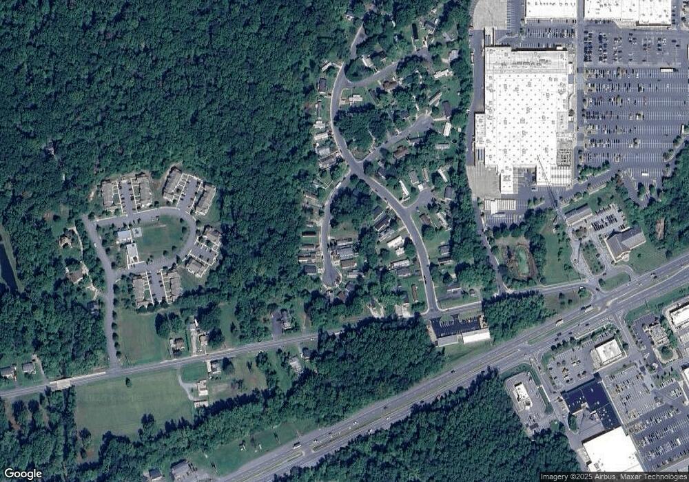
Map
Nearby Homes
- 0 Pulaski Hwy
- 2515 Pulaski Hwy
- 162 Razor Strap Rd
- 10 Trail Wood Ct
- 29 Aspen Dr
- 9 Aspen Dr
- Coral Plan at Northwoods - Seasons
- 31 Poplar Ct
- Lapis Plan at Northwoods - Seasons
- 80 Catalpa Dr
- Pearl Plan at Northwoods - Seasons
- 10 Poplar Ct
- 9 Poplar Ct
- 34 Poplar Ct
- 17 Poplar Ct
- 18 Poplar Ct
- Moonstone Plan at Northwoods - Seasons
- 37 Aspen Dr
- 35 Catalpa Dr
- 26 Plum Ct
- 103 W Huron Ct
- 101 W Huron Ct
- 104 W Huron Ct
- 120 Lakeside Dr
- 118 Lakeside Dr
- 105 W Huron Ct
- 116 W Huron Ct
- 116 Lakeside Dr
- 114 Lakeside Dr
- 115 W Huron Ct
- 119 W Huron Ct
- 114 W Huron Ct
- 200 Lakeside Dr
- 106 W Huron Ct
- 117 W Huron Ct
- 113 W Huron Ct
- 118 W Huron Ct
- 110 Lakeside Dr
- 112 Lakeside Dr
- 112 W Huron Ct