102 Wampum Cove Gainesville, TX 76240
Estimated Value: $689,000 - $841,574
3
Beds
2
Baths
1,976
Sq Ft
$387/Sq Ft
Est. Value
About This Home
This home is located at 102 Wampum Cove, Gainesville, TX 76240 and is currently estimated at $763,858, approximately $386 per square foot. 102 Wampum Cove is a home located in Cooke County with nearby schools including Callisburg Elementary School, Callisburg Middle School, and Callisburg High School.
Ownership History
Date
Name
Owned For
Owner Type
Purchase Details
Closed on
Mar 24, 2014
Sold by
Neal Terry L and Neal Jan
Bought by
Makuta John M and Makuta Susan L
Current Estimated Value
Home Financials for this Owner
Home Financials are based on the most recent Mortgage that was taken out on this home.
Original Mortgage
$296,000
Outstanding Balance
$223,096
Interest Rate
4.27%
Mortgage Type
New Conventional
Estimated Equity
$540,762
Create a Home Valuation Report for This Property
The Home Valuation Report is an in-depth analysis detailing your home's value as well as a comparison with similar homes in the area
Home Values in the Area
Average Home Value in this Area
Purchase History
| Date | Buyer | Sale Price | Title Company |
|---|---|---|---|
| Makuta John M | -- | Howeth Title Co |
Source: Public Records
Mortgage History
| Date | Status | Borrower | Loan Amount |
|---|---|---|---|
| Open | Makuta John M | $296,000 |
Source: Public Records
Tax History Compared to Growth
Tax History
| Year | Tax Paid | Tax Assessment Tax Assessment Total Assessment is a certain percentage of the fair market value that is determined by local assessors to be the total taxable value of land and additions on the property. | Land | Improvement |
|---|---|---|---|---|
| 2025 | $9,857 | $889,941 | $574,240 | $315,701 |
| 2024 | $9,857 | $910,831 | $598,071 | $312,760 |
| 2023 | $8,302 | $650,287 | $340,436 | $309,851 |
| 2022 | $9,646 | $650,287 | $340,436 | $309,851 |
| 2021 | $8,660 | $473,580 | $262,425 | $211,155 |
| 2020 | $9,255 | $474,886 | $245,422 | $229,464 |
| 2019 | $7,795 | $400,104 | $221,819 | $178,285 |
| 2018 | $7,454 | $380,519 | $215,818 | $164,701 |
| 2017 | $7,279 | $368,169 | $213,818 | $154,351 |
| 2015 | $6,695 | $358,118 | $213,818 | $144,300 |
| 2014 | $6,695 | $357,178 | $213,818 | $143,360 |
Source: Public Records
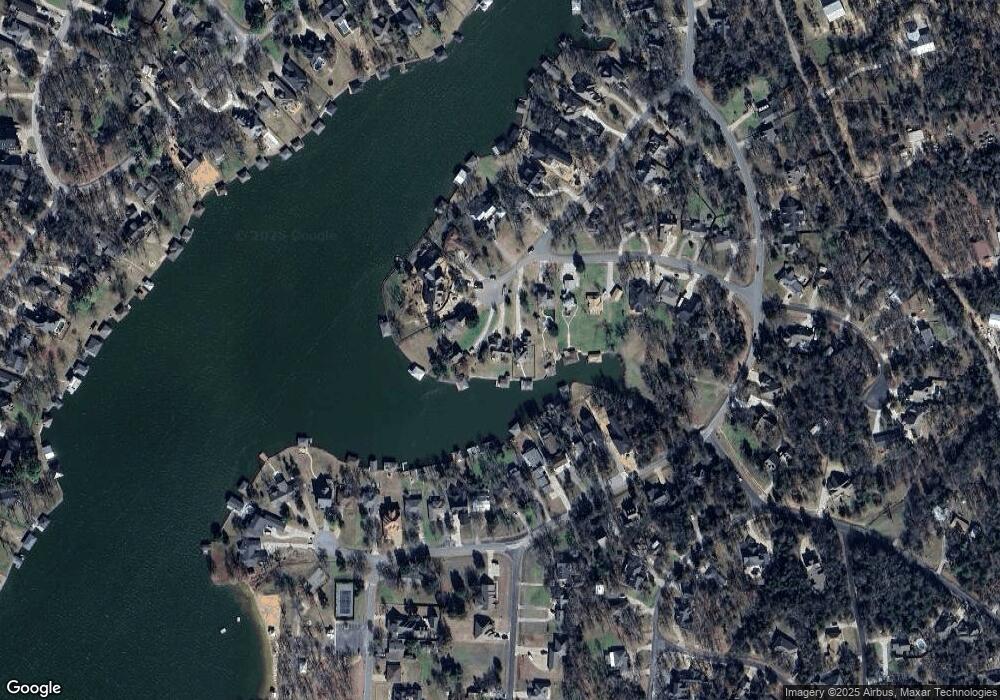
Map
Nearby Homes
- 116 Seminole Dr
- 114 Seminole Dr
- 105 Seminole Dr
- 104 Pontiac Dr
- 110 Seminole Cove
- 102 Bowie Cove
- 501 Kiowa Dr E
- Lot 2 Apache Cove
- Lot 3 Apache Cove
- Lot 7 Apache Cove
- Lot 6 Apache Cove
- Lot 1 Apache Cove
- Lot 8 Apache Cove
- Lot 4 Apache Cove
- Lot 5 Apache Cove
- 103 Bowie Dr
- 111 Bowie Dr
- 226 Colt Dr
- 102 Shoshone Cove
- 122 Comanche Dr
- 106 Wampum Cove
- 104 Wampum Cove
- 100 Wampum Cove
- 105 Wampum Cove
- 103 Wampum Cove
- 112 Seminole Dr
- 618 Kiowa Dr E
- 614 Kiowa Dr E
- 622 Kiowa Dr E
- 120 Seminole Dr
- 101 Wampum Cove
- 620 Kiowa Dr E
- 612 Kiowa Dr E
- 610 Kiowa Dr E
- 108 Seminole Dr
- 606 Kiowa Dr E
- 109 Seminole Dr
- 608 Kiowa Dr E
- 604 Kiowa Dr E
- 109 Seminole Dr