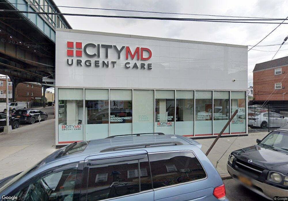
10202 Liberty Ave Jamaica, NY 11417
South Ozone Park NeighborhoodEstimated Value: $5,025,713
--
Bed
--
Bath
2,529
Sq Ft
$1,987/Sq Ft
Est. Value
About This Home
This home is located at 10202 Liberty Ave, Jamaica, NY 11417 and is currently estimated at $5,025,713, approximately $1,987 per square foot. 10202 Liberty Ave is a home located in Queens County with nearby schools including P.S. 108 - Capt. Vincent G. Fowler, M.S.137 America's School of Heroes, and John Adams High School.
Ownership History
Date
Name
Owned For
Owner Type
Purchase Details
Closed on
Sep 15, 2021
Sold by
90 Dune Llc
Bought by
102-02 Liberty Llc
Current Estimated Value
Purchase Details
Closed on
Aug 12, 2021
Sold by
Liberty Avenue Partners Llc
Bought by
90 Dune Llc
Purchase Details
Closed on
Apr 20, 2018
Sold by
10202 Liberty Avenue Llc
Bought by
Liberty Avenue Partners Llc
Purchase Details
Closed on
Mar 11, 2016
Sold by
Morrow Neil
Bought by
102-02 Liberty Avenue Llc
Home Financials for this Owner
Home Financials are based on the most recent Mortgage that was taken out on this home.
Original Mortgage
$1,348,000
Interest Rate
3.65%
Mortgage Type
Commercial
Purchase Details
Closed on
May 12, 2004
Sold by
Bottoni Domenico and Bottoni Rita Alba
Bought by
Morrow Neil
Home Financials for this Owner
Home Financials are based on the most recent Mortgage that was taken out on this home.
Original Mortgage
$550,000
Interest Rate
5.88%
Mortgage Type
Commercial
Create a Home Valuation Report for This Property
The Home Valuation Report is an in-depth analysis detailing your home's value as well as a comparison with similar homes in the area
Home Values in the Area
Average Home Value in this Area
Purchase History
| Date | Buyer | Sale Price | Title Company |
|---|---|---|---|
| 102-02 Liberty Llc | -- | -- | |
| 90 Dune Llc | $4,610,000 | -- | |
| Liberty Avenue Partners Llc | $1,220,000 | -- | |
| 102-02 Liberty Avenue Llc | $1,300,000 | -- | |
| Morrow Neil | $650,000 | -- |
Source: Public Records
Mortgage History
| Date | Status | Borrower | Loan Amount |
|---|---|---|---|
| Previous Owner | 102-02 Liberty Avenue Llc | $1,348,000 | |
| Previous Owner | Morrow Neil | $550,000 |
Source: Public Records
Tax History Compared to Growth
Tax History
| Year | Tax Paid | Tax Assessment Tax Assessment Total Assessment is a certain percentage of the fair market value that is determined by local assessors to be the total taxable value of land and additions on the property. | Land | Improvement |
|---|---|---|---|---|
| 2025 | $47,559 | $461,250 | $117,900 | $343,350 |
| 2024 | $47,559 | $449,010 | $117,900 | $331,110 |
| 2023 | $37,616 | $355,140 | $114,840 | $240,300 |
| 2022 | $35,911 | $441,450 | $117,900 | $323,550 |
| 2021 | $32,088 | $312,750 | $117,900 | $194,850 |
| 2020 | $10,232 | $117,900 | $117,900 | $0 |
| 2019 | $9,141 | $102,600 | $102,600 | $0 |
| 2018 | $8,393 | $79,830 | $79,830 | $0 |
| 2017 | $29,940 | $284,760 | $71,190 | $213,570 |
| 2016 | $28,921 | $284,760 | $71,190 | $213,570 |
| 2015 | $17,741 | $269,370 | $67,050 | $202,320 |
| 2014 | $17,741 | $269,820 | $67,050 | $202,770 |
Source: Public Records
Map
Nearby Homes
- 10370 103rd St
- 103-58 103rd St
- 103-50 102nd St
- 103-37 102nd St
- 107-16 103rd St
- 10349A 104th St
- 10330 102nd St
- 105-02 Liberty Ave
- 103-18 103rd St
- 103-22 104th St
- 10417 106th St
- 10438 107th St
- 10152 103rd St
- 10154 102nd St
- 10317 Plattwood Ave
- 103-10 106th St
- 103-47 96th St
- 10719 96th St
- 132-01 100th St
- 10723 96th St
- 10208 Liberty Ave
- 10411 102nd St
- 10120 Liberty Ave
- 10252 Liberty Ave
- 10415 102nd St
- 10415 102nd St Unit 2
- 101-20 Liberty Ave
- 10415 102nd St
- 10118 Liberty Ave
- 102-14 Liberty Ave
- 10404 102nd St
- 10216 Liberty Ave
- 101-16 Liberty Ave
- 10116 Liberty Ave
- 10216 Liberty Ave
- 10216 Liberty Ave
- 10417 102nd St
- 10379 102nd St
- 102-15 Liberty Ave
- 102-15 Liberty Ave Unit 1