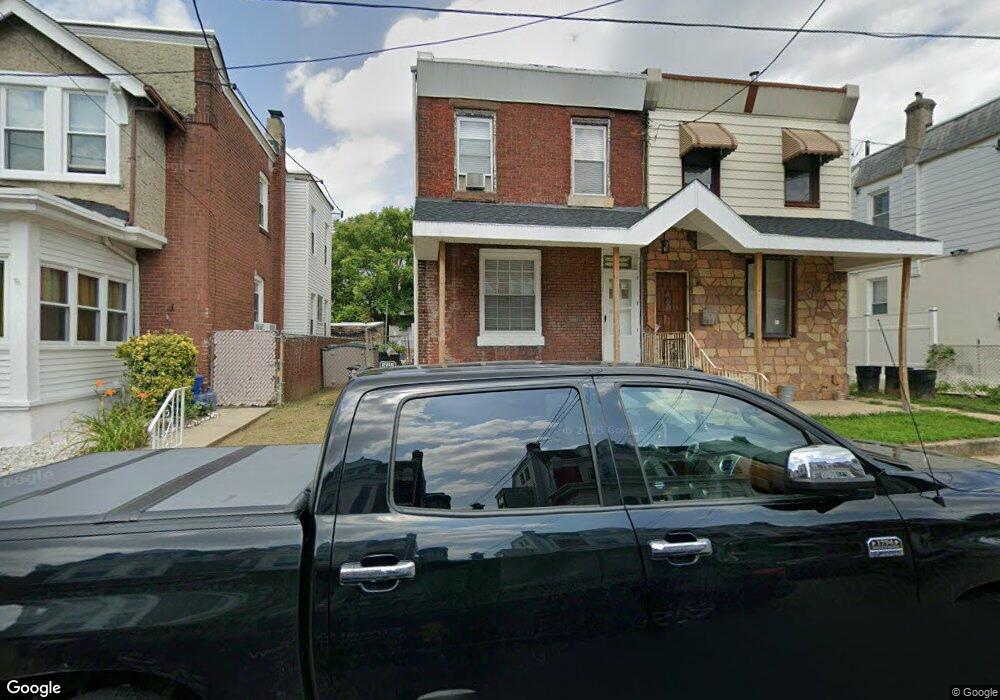
1021 Fillmore St Philadelphia, PA 19124
Frankford NeighborhoodEstimated Value: $221,000 - $255,217
3
Beds
1
Bath
1,504
Sq Ft
$157/Sq Ft
Est. Value
About This Home
This home is located at 1021 Fillmore St, Philadelphia, PA 19124 and is currently estimated at $236,304, approximately $157 per square foot. 1021 Fillmore St is a home located in Philadelphia County with nearby schools including Frankford High School, The Philadelphia Charter School for the Arts & Sciences, and Northwood Academy Charter School.
Ownership History
Date
Name
Owned For
Owner Type
Purchase Details
Closed on
Jul 28, 2011
Sold by
Wellington Dianne
Bought by
West Kurtis R
Current Estimated Value
Home Financials for this Owner
Home Financials are based on the most recent Mortgage that was taken out on this home.
Original Mortgage
$72,215
Outstanding Balance
$50,341
Interest Rate
4.87%
Mortgage Type
FHA
Estimated Equity
$185,963
Create a Home Valuation Report for This Property
The Home Valuation Report is an in-depth analysis detailing your home's value as well as a comparison with similar homes in the area
Home Values in the Area
Average Home Value in this Area
Purchase History
| Date | Buyer | Sale Price | Title Company |
|---|---|---|---|
| West Kurtis R | $74,100 | None Available |
Source: Public Records
Mortgage History
| Date | Status | Borrower | Loan Amount |
|---|---|---|---|
| Open | West Kurtis R | $72,215 |
Source: Public Records
Tax History Compared to Growth
Tax History
| Year | Tax Paid | Tax Assessment Tax Assessment Total Assessment is a certain percentage of the fair market value that is determined by local assessors to be the total taxable value of land and additions on the property. | Land | Improvement |
|---|---|---|---|---|
| 2026 | $2,885 | $237,400 | $47,400 | $190,000 |
| 2025 | $2,885 | $237,400 | $47,400 | $190,000 |
| 2024 | $2,885 | $237,400 | $47,400 | $190,000 |
| 2023 | $2,885 | $206,100 | $41,220 | $164,880 |
| 2022 | $1,587 | $161,100 | $41,220 | $119,880 |
| 2021 | $2,217 | $0 | $0 | $0 |
| 2020 | $2,217 | $0 | $0 | $0 |
| 2019 | $2,128 | $0 | $0 | $0 |
| 2018 | $2,107 | $0 | $0 | $0 |
| 2017 | $2,107 | $0 | $0 | $0 |
| 2016 | $1,687 | $0 | $0 | $0 |
| 2015 | $1,615 | $0 | $0 | $0 |
| 2014 | -- | $150,500 | $33,075 | $117,425 |
| 2012 | -- | $16,256 | $1,951 | $14,305 |
Source: Public Records
Map
Nearby Homes
- 1052 Allengrove St
- 1859 Harrison St
- 4717 Northwood St
- 1001-3 Arrott St
- 926 Foulkrod St
- 1208 Haworth St
- 1300 Harrison St
- 1214 Haworth St
- 1335 Fillmore St
- 4046 E Roosevelt Blvd
- 4632 Oakland St
- 5118 Oakland St
- 4600 Horrocks St
- 1204 Pratt St
- 1241 Orthodox St
- 5033 Akron St
- 1218 Pratt St
- 1220 Pratt St
- 4628 Pilling St
- 4626 Pilling St
- 1023 Fillmore St
- 1019 Fillmore St
- 1017 Fillmore St
- 1025 Fillmore St
- 1015 Fillmore St
- 1027 Fillmore St
- 1013 Fillmore St
- 1010 Harrison St
- 1012 Harrison St
- 4710 Large St
- 1029 Fillmore St
- 1008 Harrison St
- 1006 Harrison St
- 1011 Fillmore St
- 1016 Harrison St
- 1004 Harrison St
- 1018 Harrison St
- 1031 Fillmore St
- 1020 Harrison St
- 1002 Harrison St