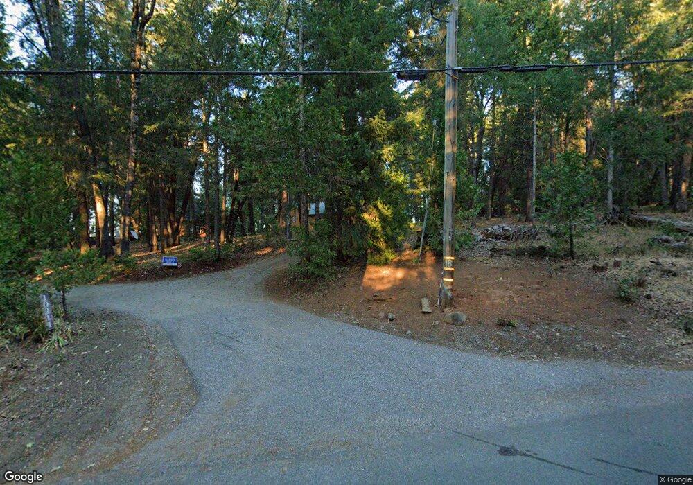
10211 Harmony Ridge Rd Nevada City, CA 95959
Estimated Value: $479,184 - $1,032,000
3
Beds
2
Baths
1,682
Sq Ft
$401/Sq Ft
Est. Value
About This Home
This home is located at 10211 Harmony Ridge Rd, Nevada City, CA 95959 and is currently estimated at $674,296, approximately $400 per square foot. 10211 Harmony Ridge Rd is a home located in Nevada County with nearby schools including Deer Creek Elementary School, Seven Hills Intermediate School, and Forest Charter School.
Ownership History
Date
Name
Owned For
Owner Type
Purchase Details
Closed on
Aug 13, 2012
Sold by
Clay Pamela J
Bought by
Clay Pamela J
Current Estimated Value
Purchase Details
Closed on
Aug 17, 2005
Sold by
Clay Neal G and Clay Pamela J
Bought by
Clay Neal G and Clay Pamela J
Home Financials for this Owner
Home Financials are based on the most recent Mortgage that was taken out on this home.
Original Mortgage
$200,000
Interest Rate
5.61%
Mortgage Type
Credit Line Revolving
Create a Home Valuation Report for This Property
The Home Valuation Report is an in-depth analysis detailing your home's value as well as a comparison with similar homes in the area
Home Values in the Area
Average Home Value in this Area
Purchase History
| Date | Buyer | Sale Price | Title Company |
|---|---|---|---|
| Clay Pamela J | -- | None Available | |
| Clay Neal G | -- | Fidelity National Title Co |
Source: Public Records
Mortgage History
| Date | Status | Borrower | Loan Amount |
|---|---|---|---|
| Closed | Clay Neal G | $200,000 |
Source: Public Records
Tax History Compared to Growth
Tax History
| Year | Tax Paid | Tax Assessment Tax Assessment Total Assessment is a certain percentage of the fair market value that is determined by local assessors to be the total taxable value of land and additions on the property. | Land | Improvement |
|---|---|---|---|---|
| 2025 | $2,962 | $270,874 | $65,288 | $205,586 |
| 2024 | $2,900 | $265,563 | $64,008 | $201,555 |
| 2023 | $2,900 | $260,356 | $62,753 | $197,603 |
| 2022 | $2,838 | $255,252 | $61,523 | $193,729 |
| 2021 | $2,756 | $250,248 | $60,317 | $189,931 |
| 2020 | $2,747 | $247,683 | $59,699 | $187,984 |
| 2019 | $2,689 | $242,828 | $58,529 | $184,299 |
| 2018 | $2,634 | $238,068 | $57,382 | $180,686 |
| 2017 | $2,581 | $233,402 | $56,257 | $177,145 |
| 2016 | $2,488 | $228,827 | $55,154 | $173,673 |
| 2015 | $2,450 | $225,392 | $54,326 | $171,066 |
| 2014 | $2,450 | $220,979 | $53,262 | $167,717 |
Source: Public Records
Map
Nearby Homes
- 10623- Yearling Rd
- 17534 Lightfoot Way
- 18125 Nubian Way
- 19793 Scotts Flat Rd
- 18197 Blue Tent School Rd
- 13792 Rockway Place
- 16094 N Countrywood Ln
- 21293 Scotts Flat Rd
- 10107 Shekinah Hill Rd
- 21678 Scotts Flat Rd
- 17841 Blue Ridge Rd
- 18125 Douglas Rd
- 10973 Scotts Flat Dam Rd
- 11937 Incline Shaft Rd
- 11877 Incline Shaft Rd
- 12043 Pasquale Rd
- 13518 Quaker Hill Cross Rd
- 13762 Lightning Tree Rd
- 12181 Robust Way
- 15188 N Bloomfield Rd
- 10259 Harmony Ridge Rd
- 10265 Harmony Ridge Rd
- 10113 Harmony Ridge Rd
- 10144 Harmony Ridge Rd
- 10337 Harmony Ridge Rd
- 10293 Harmony Ridge Rd
- 10021 Harmony Ridge Rd
- 17315 Lightfoot Way
- 17625 Hoge Rd
- 17387 Lightfoot Way
- 10470 Yearling Rd
- 10409 Harmony Ridge Rd
- 17672 Broken Arrow Place
- 0 Broken Arrow Place
- 10390 Harmony Ridge Rd
- 17271 Broken Arrow Place
- 17643 State Highway 20
- 10416 Harmony Ridge Rd
- 17431 Broken Arrow Place
