Estimated Value: $205,000 - $332,000
3
Beds
2
Baths
1,438
Sq Ft
$170/Sq Ft
Est. Value
About This Home
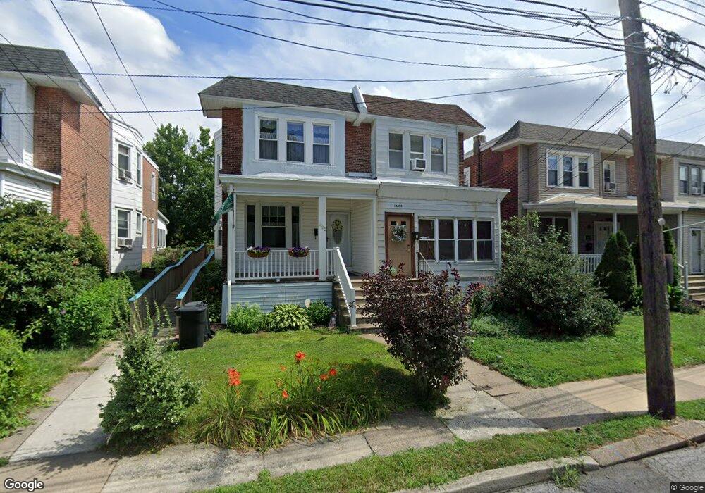
This home is located at 1022 Bartram Ave, Darby, PA 19023 and is currently estimated at $244,765, approximately $170 per square foot. 1022 Bartram Ave is a home located in Delaware County with nearby schools including Darby Township School, Academy Park High School, and Liberty Baptist Academy.
Ownership History
Date
Name
Owned For
Owner Type
Purchase Details
Closed on
Jan 24, 2006
Sold by
Clements Gregory M and Clements Donna M
Bought by
Clements Donna M
Current Estimated Value
Purchase Details
Closed on
Jun 30, 1998
Sold by
Mccormick Francis and Mccormick Madeline
Bought by
Clements Gregory M and Clements Donna M
Home Financials for this Owner
Home Financials are based on the most recent Mortgage that was taken out on this home.
Original Mortgage
$84,000
Interest Rate
6.67%
Mortgage Type
Seller Take Back
Create a Home Valuation Report for This Property
The Home Valuation Report is an in-depth analysis detailing your home's value as well as a comparison with similar homes in the area
Home Values in the Area
Average Home Value in this Area
Purchase History
| Date | Buyer | Sale Price | Title Company |
|---|---|---|---|
| Clements Donna M | -- | None Available | |
| Clements Gregory M | $80,000 | -- |
Source: Public Records
Mortgage History
| Date | Status | Borrower | Loan Amount |
|---|---|---|---|
| Closed | Clements Gregory M | $84,000 |
Source: Public Records
Tax History Compared to Growth
Tax History
| Year | Tax Paid | Tax Assessment Tax Assessment Total Assessment is a certain percentage of the fair market value that is determined by local assessors to be the total taxable value of land and additions on the property. | Land | Improvement |
|---|---|---|---|---|
| 2025 | $4,547 | $100,410 | $21,810 | $78,600 |
| 2024 | $4,547 | $100,410 | $21,810 | $78,600 |
| 2023 | $4,427 | $100,410 | $21,810 | $78,600 |
| 2022 | $4,259 | $100,410 | $21,810 | $78,600 |
| 2021 | $5,865 | $100,410 | $21,810 | $78,600 |
| 2020 | $4,201 | $66,090 | $17,960 | $48,130 |
| 2019 | $4,050 | $66,090 | $17,960 | $48,130 |
| 2018 | $3,960 | $66,090 | $0 | $0 |
| 2017 | $3,886 | $66,090 | $0 | $0 |
| 2016 | $363 | $66,090 | $0 | $0 |
| 2015 | $363 | $66,090 | $0 | $0 |
| 2014 | $363 | $66,090 | $0 | $0 |
Source: Public Records
Map
Nearby Homes
- 539 Pershing Ave
- 1119 Chestnut St
- 933 Bedford Ave
- 924 Pitman Ave
- 921 Pitman Ave
- 1018 Broad St
- 909 Walnut St
- 1025 Andrews Ave
- 1011 Andrews Ave
- 815 Clifton Ave
- 222 Collingdale Ave
- 308 Clifton Ave
- 1011 Clifton Ave
- 164 Wayne Ave
- 402 Rively Ave
- 149 Wayne Ave
- 126 Hansen Terrace
- 108 S Clifton Ave
- 605 Andrews Ave
- 653 Rively Ave
- 1020 Bartram Ave
- 1024 Bartram Ave
- 1018 Bartram Ave
- 1026 Bartram Ave
- 1016 Bartram Ave
- 535 Lafayette Ave
- 533 Lafayette Ave
- 616 Lafayette Ave
- 610 Lafayette Ave
- 606 Lafayette Ave
- 604 Lafayette Ave
- 1027 Bartram Ave
- 1017 Bartram Ave
- 528 Lafayette Ave
- 612 Lafayette Ave
- 526 Lafayette Ave
- 1013 Bartram Ave
- 524 Lafayette Ave
- 522 Lafayette Ave
- 1009 Bartram Ave