1022 Cape St Little Rock, AR 72223
Estimated Value: $457,000 - $669,946
--
Bed
3
Baths
3,067
Sq Ft
$179/Sq Ft
Est. Value
About This Home
This home is located at 1022 Cape St, Little Rock, AR 72223 and is currently estimated at $548,737, approximately $178 per square foot. 1022 Cape St is a home located in Pulaski County with nearby schools including Baker Interdistrict Elementary School, Joe T. Robinson Middle School, and Joe T. Robinson High School.
Ownership History
Date
Name
Owned For
Owner Type
Purchase Details
Closed on
Apr 19, 2013
Sold by
Walker John M and Walker Linda R
Bought by
Walker John Milton and Walker Linda Rotchild
Current Estimated Value
Purchase Details
Closed on
Jul 15, 2004
Sold by
Western Development Corp
Bought by
Walker John M and Walker Linda R
Purchase Details
Closed on
Jun 23, 1970
Bought by
Jones Erwin Patrick
Purchase Details
Closed on
Apr 16, 1965
Bought by
Jones Erwin P and Frances Wall
Purchase Details
Closed on
Feb 19, 1965
Bought by
Jones Ervin P and Frances Wall
Create a Home Valuation Report for This Property
The Home Valuation Report is an in-depth analysis detailing your home's value as well as a comparison with similar homes in the area
Home Values in the Area
Average Home Value in this Area
Purchase History
| Date | Buyer | Sale Price | Title Company |
|---|---|---|---|
| Walker John Milton | -- | None Available | |
| Walker John M | $58,000 | -- | |
| Jones Erwin Patrick | -- | -- | |
| Jones Erwin P | -- | -- | |
| Jones Ervin P | -- | -- |
Source: Public Records
Tax History Compared to Growth
Tax History
| Year | Tax Paid | Tax Assessment Tax Assessment Total Assessment is a certain percentage of the fair market value that is determined by local assessors to be the total taxable value of land and additions on the property. | Land | Improvement |
|---|---|---|---|---|
| 2025 | $3,368 | $112,209 | $42,504 | $69,705 |
| 2024 | $3,368 | $112,209 | $42,504 | $69,705 |
| 2023 | $3,368 | $112,209 | $42,504 | $69,705 |
| 2022 | $4,644 | $112,209 | $42,504 | $69,705 |
| 2021 | $45 | $67,110 | $16,170 | $50,940 |
| 2020 | $4,118 | $67,110 | $16,170 | $50,940 |
| 2019 | $4,118 | $67,110 | $16,170 | $50,940 |
| 2018 | $4,143 | $67,110 | $16,170 | $50,940 |
| 2017 | $4,143 | $67,110 | $16,170 | $50,940 |
| 2016 | $3,368 | $75,640 | $23,100 | $52,540 |
| 2015 | $3,368 | $66,299 | $23,100 | $43,199 |
| 2014 | $3,368 | $66,299 | $23,100 | $43,199 |
Source: Public Records
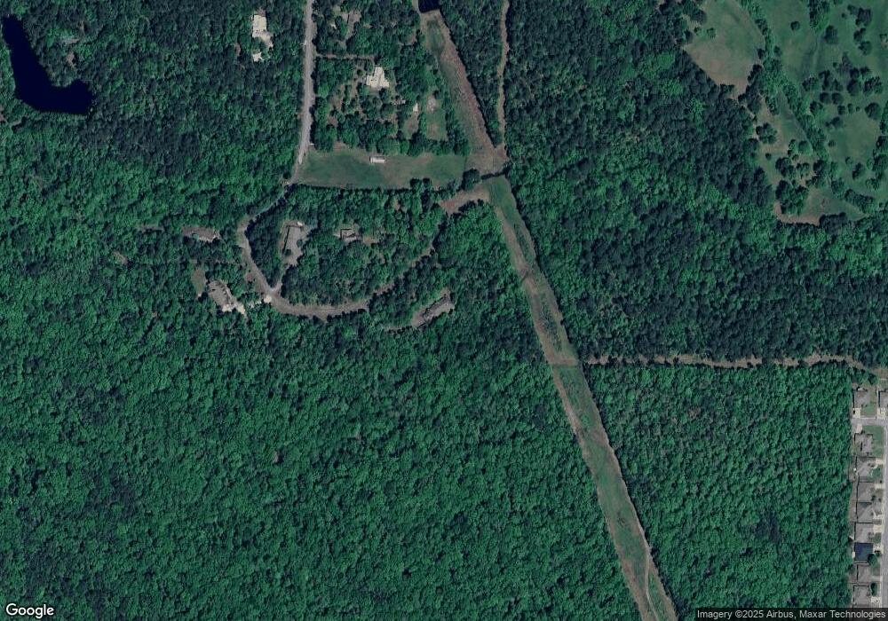
Map
Nearby Homes
- 901 Cape St
- 15516 Hartford St
- 90 Copper Cir
- 515 Layman Ln
- 75 Copper Cir
- 63 Copper Cir
- 9 Copper Cir
- 8 Pennsylvania Ct
- 14905 Pride Valley Rd
- 728 Edgewood Cir
- 16 Driftwood Ln
- 22 Driftwood Ln
- 20 Driftwood Ln
- 102 Edgewood Cir
- 27001 Kanis Rd
- 16300 Cooper Orbit Rd
- 11 Flatrock Point
- 8 Weatherstone Point
- 6 Weatherstone Point
- 208 Kanis Ridge Dr
- 1000 Cape St
- 1002 Cape St
- 920 Cape St
- 801 Cape St
- 808 Cape St
- 16219 Nation St
- 0 Nation Rd Unit 17011059
- 701 Cape St
- 625 Zanzibar Rd
- 15600 Hartford St
- 800 Zanzibar Rd
- 1300 Lansing St
- 1304 Lansing St
- 15518 Hartford St
- 15528 Hartford St
- 1308 Lansing St
- 1312 Lansing St
- 1316 Lansing St
- 1316 Lansing St
- 15526 Hartford St