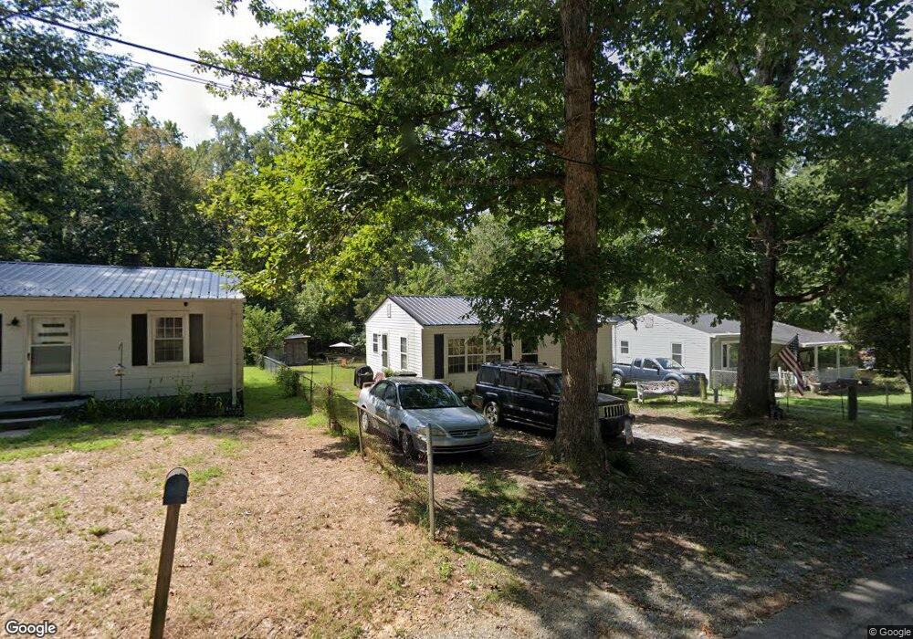
1022 Virginia Rd Thomasville, NC 27360
Estimated Value: $104,000 - $147,000
2
Beds
1
Bath
720
Sq Ft
$163/Sq Ft
Est. Value
About This Home
This home is located at 1022 Virginia Rd, Thomasville, NC 27360 and is currently estimated at $117,230, approximately $162 per square foot. 1022 Virginia Rd is a home located in Davidson County with nearby schools including Fair Grove Elementary School, E. Lawson Brown Middle School, and East Davidson High School.
Ownership History
Date
Name
Owned For
Owner Type
Purchase Details
Closed on
Dec 10, 2013
Sold by
Summey Kenneth Lee and Summey Patsy F
Bought by
K & P Holdings Llc
Current Estimated Value
Purchase Details
Closed on
Apr 5, 2004
Sold by
Summey Kenneth L
Bought by
Summey Kenneth L
Purchase Details
Closed on
Jan 9, 2002
Sold by
Hill Acres Of Thomasville Llc
Bought by
Summey Kenneth L
Purchase Details
Closed on
Mar 21, 2001
Sold by
Cabe Betty Hill
Bought by
Hill Acres Of Thomasville Llc
Purchase Details
Closed on
Jul 21, 2000
Bought by
Cabe Betty Hill
Create a Home Valuation Report for This Property
The Home Valuation Report is an in-depth analysis detailing your home's value as well as a comparison with similar homes in the area
Home Values in the Area
Average Home Value in this Area
Purchase History
| Date | Buyer | Sale Price | Title Company |
|---|---|---|---|
| K & P Holdings Llc | -- | None Available | |
| Summey Kenneth L | -- | -- | |
| Summey Kenneth L | $24,500 | -- | |
| Hill Acres Of Thomasville Llc | -- | -- | |
| Hill Acres Of Thomasville Llc | -- | -- | |
| Cabe Betty Hill | -- | -- |
Source: Public Records
Tax History Compared to Growth
Tax History
| Year | Tax Paid | Tax Assessment Tax Assessment Total Assessment is a certain percentage of the fair market value that is determined by local assessors to be the total taxable value of land and additions on the property. | Land | Improvement |
|---|---|---|---|---|
| 2025 | $612 | $53,530 | $0 | $0 |
| 2024 | $600 | $52,490 | $0 | $0 |
| 2023 | $600 | $52,490 | $0 | $0 |
| 2022 | $600 | $52,490 | $0 | $0 |
| 2021 | $600 | $52,490 | $0 | $0 |
| 2020 | $552 | $49,200 | $0 | $0 |
| 2019 | $561 | $49,200 | $0 | $0 |
| 2018 | $561 | $49,200 | $0 | $0 |
| 2017 | $561 | $49,200 | $0 | $0 |
| 2016 | $541 | $49,200 | $0 | $0 |
| 2015 | $541 | $49,200 | $0 | $0 |
| 2014 | $537 | $48,820 | $0 | $0 |
Source: Public Records
Map
Nearby Homes
- 0 Smith Dr
- 708 Ferndale Dr
- 307 Fisher Ferry St
- 715 Dillon St
- 1 Westwood Ave
- 122 S Old Fisher Ferry Rd
- 106 Kincemac Dr
- 223 S Westwood Ave
- 6 Curtis Ct
- 217 Moon St
- 512 Concord St
- 14 Welloski Dr
- 2619 N Carolina 109
- 208 Wagstaff St
- 296 Fairgrove Rd
- 25 Cedar Lodge Rd
- 300 Willowbrook Dr
- 415 Spring St
- 305 Spring St
- 314 Spring St
- 1026 Virginia Rd
- 1024 Virginia St
- 1020 Virginia St
- 1028 Virginia Rd
- 1016 Virginia St
- 1021 Virginia St
- 1014 Virginia Rd
- 1021 Virginia Rd
- 1023 Virginia Rd
- 1025 Virginia Rd
- 1019 Virginia St
- 1027 Virginia Rd
- 1015 Virginia St
- 1015 Virginia Rd
- 1012 Virginia St
- 1012 Virginia St
- 1013 Virginia Rd
- 1010 Virginia St
- 1002 Ferndale Dr