10240 Gloucester Rd Streetsboro, OH 44241
Estimated Value: $296,000 - $379,479
3
Beds
3
Baths
1,872
Sq Ft
$177/Sq Ft
Est. Value
About This Home
This home is located at 10240 Gloucester Rd, Streetsboro, OH 44241 and is currently estimated at $332,120, approximately $177 per square foot. 10240 Gloucester Rd is a home located in Portage County with nearby schools including Streetsboro High School and Crossroads Christian Academy.
Ownership History
Date
Name
Owned For
Owner Type
Purchase Details
Closed on
Apr 25, 2003
Sold by
Adkins Kevin M
Bought by
Adkins Leonard R and Adkins Kathleen P
Current Estimated Value
Home Financials for this Owner
Home Financials are based on the most recent Mortgage that was taken out on this home.
Original Mortgage
$137,000
Outstanding Balance
$59,329
Interest Rate
5.86%
Mortgage Type
Purchase Money Mortgage
Estimated Equity
$272,791
Purchase Details
Closed on
Jan 12, 2001
Sold by
Streetsboro Partners Ltd
Bought by
Adkins Leonard R and Adkins Kathleen P
Home Financials for this Owner
Home Financials are based on the most recent Mortgage that was taken out on this home.
Original Mortgage
$139,000
Interest Rate
7.69%
Create a Home Valuation Report for This Property
The Home Valuation Report is an in-depth analysis detailing your home's value as well as a comparison with similar homes in the area
Home Values in the Area
Average Home Value in this Area
Purchase History
| Date | Buyer | Sale Price | Title Company |
|---|---|---|---|
| Adkins Leonard R | -- | Midland Title Security Inc | |
| Adkins Leonard R | $67,900 | Approved Statewide Title Age |
Source: Public Records
Mortgage History
| Date | Status | Borrower | Loan Amount |
|---|---|---|---|
| Open | Adkins Leonard R | $137,000 | |
| Closed | Adkins Leonard R | $139,000 |
Source: Public Records
Tax History Compared to Growth
Tax History
| Year | Tax Paid | Tax Assessment Tax Assessment Total Assessment is a certain percentage of the fair market value that is determined by local assessors to be the total taxable value of land and additions on the property. | Land | Improvement |
|---|---|---|---|---|
| 2024 | $4,043 | $107,630 | $23,630 | $84,000 |
| 2023 | $3,897 | $86,350 | $21,000 | $65,350 |
| 2022 | $3,923 | $86,350 | $21,000 | $65,350 |
| 2021 | $3,938 | $86,350 | $21,000 | $65,350 |
| 2020 | $3,904 | $79,350 | $21,000 | $58,350 |
| 2019 | $3,940 | $79,350 | $21,000 | $58,350 |
| 2018 | $3,236 | $70,780 | $19,850 | $50,930 |
| 2017 | $3,078 | $70,780 | $19,850 | $50,930 |
| 2016 | $3,080 | $70,780 | $19,850 | $50,930 |
| 2015 | $3,085 | $70,780 | $19,850 | $50,930 |
| 2014 | $2,848 | $65,530 | $18,380 | $47,150 |
| 2013 | $2,836 | $65,530 | $18,380 | $47,150 |
Source: Public Records
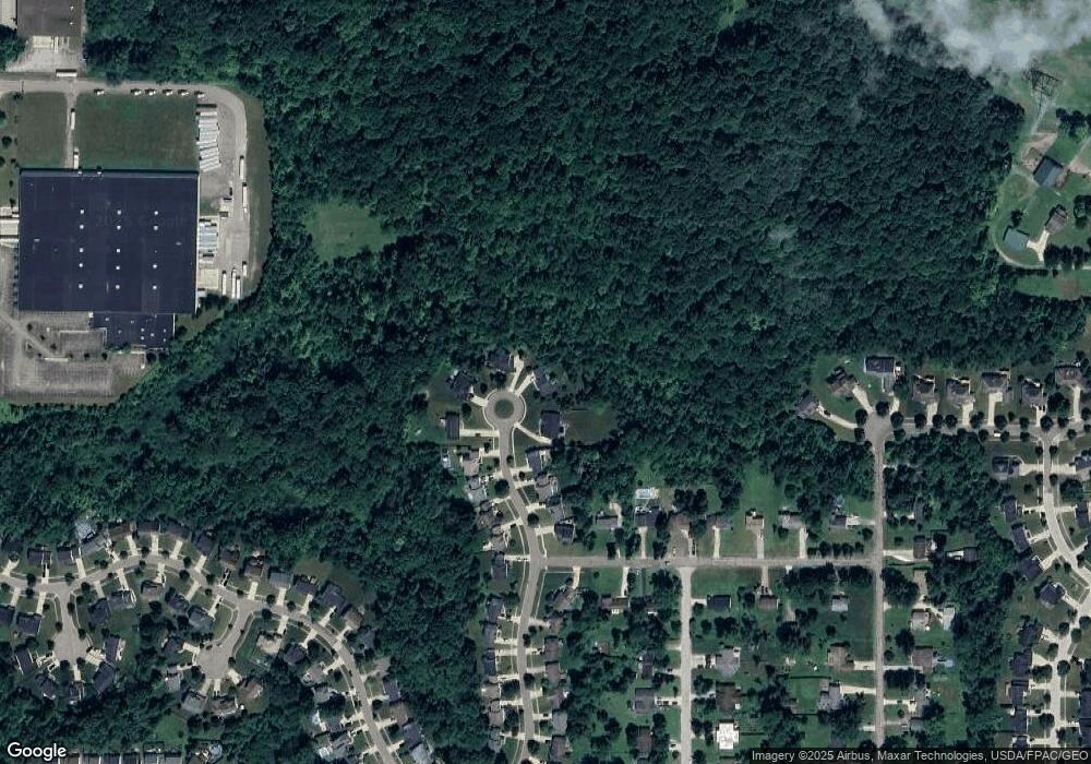
Map
Nearby Homes
- 10150 Gloucester Rd
- 10100 N Delmonte Blvd
- 955 Bristol Ln
- 932 Bristol Ln Unit O47
- 805 Hunter Ridge Dr
- 749 Antler Trail
- 10131 Buckhorn Trail
- 1290 Edgewood Ln
- 1041 Fronek Dr
- 10045 Brushwood Dr
- 9802 S Delmonte Blvd
- 9989 Beverly Ln Unit 5E
- 9868 Meldon Dr
- 1426 Lancelot St
- 572 David Dr
- 1471 Lancelot St
- 10112 Lady Catherine Ct
- 1556 Clarius Cir E
- 10121 William Henry Dr
- 9979 Lady Catherine
- 10230 Gloucester Rd
- 10250 Gloucester Rd
- 10220 Gloucester Rd
- 10241 Gloucester Rd
- 10231 Gloucester Rd
- 10210 Gloucester Rd
- 10221 Gloucester Rd
- 10200 Gloucester Rd
- 10211 Gloucester Rd
- 995 Alden Dr
- 10201 Gloucester Rd
- 1005 Alden Dr
- 10190 Gloucester Rd
- 10191 Gloucester Rd
- 1015 Alden Dr
- 10181 Gloucester Rd
- 1025 Alden Dr
- 10180 Gloucester Rd
- 10171 Gloucester Rd
- 994 Alden Dr