10240 S Brigance Rd Gentry, AR 72734
Estimated Value: $254,673 - $617,000
--
Bed
--
Bath
--
Sq Ft
39.19
Acres
About This Home
This home is located at 10240 S Brigance Rd, Gentry, AR 72734 and is currently estimated at $428,168. 10240 S Brigance Rd is a home with nearby schools including Gentry Intermediate School, Gentry Primary School, and Gentry Middle School.
Ownership History
Date
Name
Owned For
Owner Type
Purchase Details
Closed on
Aug 2, 2021
Sold by
Mrsark Llc
Bought by
Davis Michael and Davis Malinda
Current Estimated Value
Purchase Details
Closed on
Apr 11, 2014
Sold by
Stewart Michaela R and Davis Michaela Rae
Bought by
Mrsark Llc
Purchase Details
Closed on
Nov 14, 2012
Sold by
Davis M R and Davis M
Bought by
Davis M R and Davis Michaela Rae
Purchase Details
Closed on
Jan 20, 1993
Bought by
Hulet
Purchase Details
Closed on
Dec 11, 1992
Bought by
Young
Purchase Details
Closed on
Aug 13, 1982
Bought by
Young
Create a Home Valuation Report for This Property
The Home Valuation Report is an in-depth analysis detailing your home's value as well as a comparison with similar homes in the area
Home Values in the Area
Average Home Value in this Area
Purchase History
| Date | Buyer | Sale Price | Title Company |
|---|---|---|---|
| Davis Michael | -- | None Available | |
| Mrsark Llc | -- | None Available | |
| Davis M R | -- | None Available | |
| Hulet | $59,000 | -- | |
| Young | -- | -- | |
| Young | $55,000 | -- |
Source: Public Records
Tax History Compared to Growth
Tax History
| Year | Tax Paid | Tax Assessment Tax Assessment Total Assessment is a certain percentage of the fair market value that is determined by local assessors to be the total taxable value of land and additions on the property. | Land | Improvement |
|---|---|---|---|---|
| 2025 | $591 | $15,744 | $6,843 | $8,901 |
| 2024 | $577 | $15,744 | $6,843 | $8,901 |
| 2023 | $575 | $11,511 | $2,610 | $8,901 |
| 2022 | $233 | $11,511 | $2,610 | $8,901 |
| 2021 | $551 | $10,350 | $1,220 | $9,130 |
| 2020 | $568 | $10,660 | $1,230 | $9,430 |
| 2019 | $568 | $10,660 | $1,230 | $9,430 |
| 2018 | $568 | $10,660 | $1,230 | $9,430 |
| 2017 | $568 | $10,660 | $1,230 | $9,430 |
| 2016 | $568 | $10,660 | $1,230 | $9,430 |
| 2015 | $546 | $10,910 | $1,180 | $9,730 |
| 2014 | $547 | $10,910 | $1,180 | $9,730 |
Source: Public Records
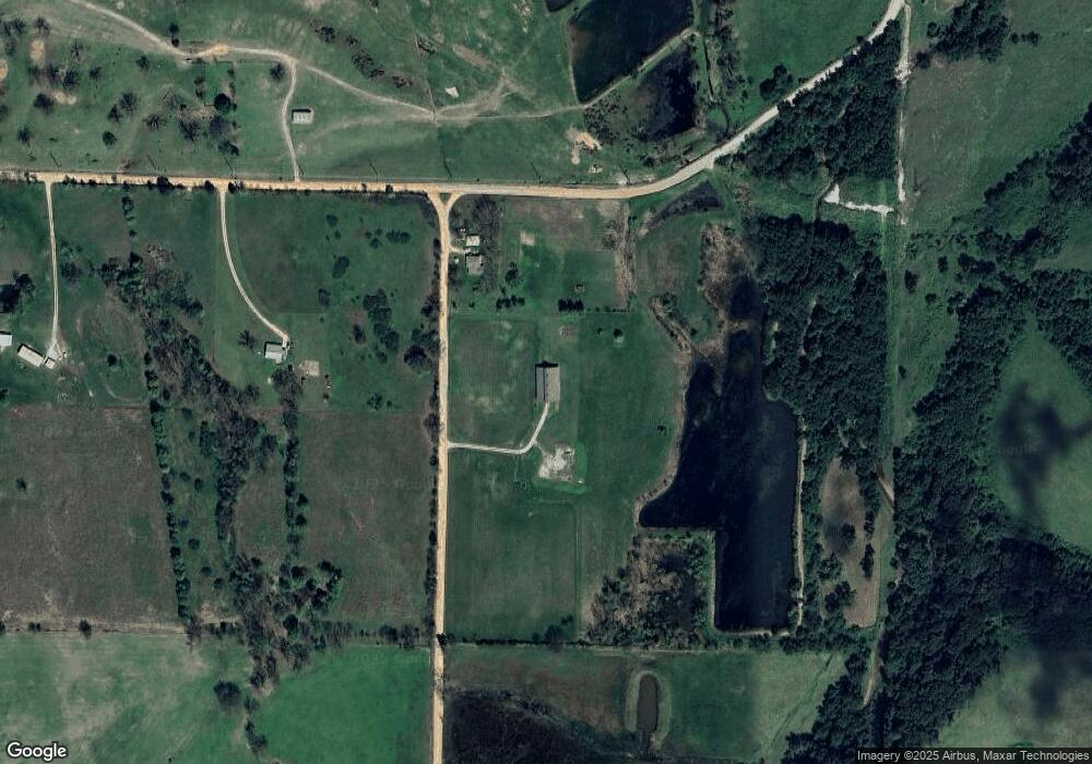
Map
Nearby Homes
- 16000 Peterson Rd
- Lot 6 Tbd Peterson Rd
- Lot 2 Tbd Peterson Rd
- 5500 Tannerwood Cove
- Lot 1 Tbd Peterson Rd
- Lot 7 Tbd Peterson Rd
- Lot 8 Tbd Peterson Rd
- TBD Peterson Rd
- Lot 24 Tbd Peterson Rd
- 15312 Bethel Heights Rd
- Lot 22 Tbd Peterson Rd
- 9383 Coker Rd
- Lot 9 Tbd Peterson Rd
- Lots 1, 8 & 11 Snyder Estates Rurban Phase 3
- 5400 Snyder Cove
- 5101 Snyder Cove
- 5200 Snyder Cove
- 5301 Snyder Cove
- 5300 Snyder Cove
- 5201 Snyder Cove
- 16931 Peterson Rd
- 10405 S Brigance Rd
- 17154 Peterson Rd
- 17169 Peterson Rd
- 9935 S Brigance Rd
- 16944 Aubrey Long Rd
- 17230 Peterson Rd
- 16325 Peterson Rd
- 9811 S Brigance Rd
- 10951 S Brigance Rd
- 16450 Aubrey Long Rd
- 16566 Aubrey Long Rd
- 16948 Aubrey Long Rd
- 16811 Aubrey Long Rd
- 16579 Aubrey Long Rd
- 10947 S Brigance Rd
- 16485 Aubrey Long Rd
- 16068 Aubrey Long Rd
- 17008 Aubrey Long Rd
- 16202 Peterson Rd