10250 Highway Pp Poplar Bluff, MO 63901
Estimated Value: $269,000 - $381,000
--
Bed
--
Bath
1,989
Sq Ft
$159/Sq Ft
Est. Value
About This Home
This home is located at 10250 Highway Pp, Poplar Bluff, MO 63901 and is currently estimated at $316,406, approximately $159 per square foot. 10250 Highway Pp is a home with nearby schools including Oak Grove Elementary School, Poplar Bluff Fifth & Sixth Grade Center, and Poplar Bluff Junior High School.
Ownership History
Date
Name
Owned For
Owner Type
Purchase Details
Closed on
Sep 7, 2018
Sold by
Burnett Kenneth and Burnett Melanie
Bought by
Burnett Kenneth and Burnett Melanie
Current Estimated Value
Home Financials for this Owner
Home Financials are based on the most recent Mortgage that was taken out on this home.
Original Mortgage
$242,000
Interest Rate
4.6%
Mortgage Type
Construction
Purchase Details
Closed on
Mar 17, 2014
Sold by
Paul Stacy and Burnett Stacy
Bought by
Burnett Kenneth
Create a Home Valuation Report for This Property
The Home Valuation Report is an in-depth analysis detailing your home's value as well as a comparison with similar homes in the area
Home Values in the Area
Average Home Value in this Area
Purchase History
| Date | Buyer | Sale Price | Title Company |
|---|---|---|---|
| Burnett Kenneth | -- | None Available | |
| Burnett Kenneth | -- | None Available |
Source: Public Records
Mortgage History
| Date | Status | Borrower | Loan Amount |
|---|---|---|---|
| Closed | Burnett Kenneth | $242,000 |
Source: Public Records
Tax History Compared to Growth
Tax History
| Year | Tax Paid | Tax Assessment Tax Assessment Total Assessment is a certain percentage of the fair market value that is determined by local assessors to be the total taxable value of land and additions on the property. | Land | Improvement |
|---|---|---|---|---|
| 2024 | $2,140 | $48,050 | $0 | $0 |
| 2023 | $2,140 | $48,050 | $0 | $0 |
| 2022 | $2,066 | $46,490 | $0 | $0 |
| 2021 | $2,067 | $46,490 | $0 | $0 |
| 2020 | $1,406 | $31,140 | $0 | $0 |
| 2019 | $761 | $31,140 | $0 | $0 |
| 2018 | $761 | $16,870 | $0 | $0 |
| 2017 | -- | $16,870 | $0 | $0 |
| 2016 | -- | $16,870 | $0 | $0 |
| 2015 | -- | $16,870 | $0 | $0 |
| 2014 | -- | $15,890 | $0 | $0 |
| 2012 | $591 | $15,510 | $0 | $0 |
Source: Public Records
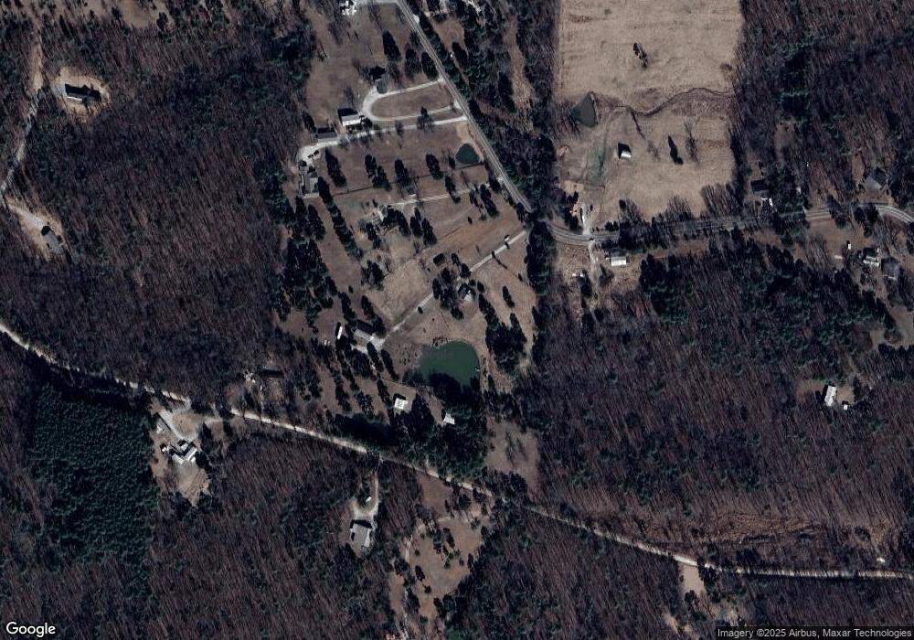
Map
Nearby Homes
- 10576 Highway Pp
- 9711 Highway Pp
- 139 County Road 425
- 0 9 6 Ac + - Off Tt Hwy Unit MIS25050752
- 607 County Road 423
- 10374 Highway 60 W
- 0 County Road 421
- Tbd County Road 426
- 0 Brownwood Trails #18 Unit MIS25061746
- 858 County Road 420
- 125 Lanee Ln
- 109 Lanee Ln
- TBD County Road 426
- 205 Batson Lake Ln
- 6708 Brown Ln
- 3221 Scarlet Dr
- 8102 Woodland Meadow Dr
- 223 Timberway Dr
- 16 Boulder Trail
- 0 Boulder Trail
- 784 County Road 425
- 619 County Road 425
- 10328 Highway Pp
- 10360 Highway Pp
- 780 County Road 425
- 10399 Highway Pp
- 10284 Highway Pp
- 14075 Highway Pp
- 10499 Highway Pp
- 10418 Highway Pp
- 10499 Highway Pp
- 650 County Road 425
- 560 County Road 425
- 10486 Highway Pp Hwy
- 420 County Road 425
- 10017 Highway Pp
- 108 Briarwood Place
- 10533 Highway Pp
- 10533 Highway Pp
- 85 W Magnolia Ln