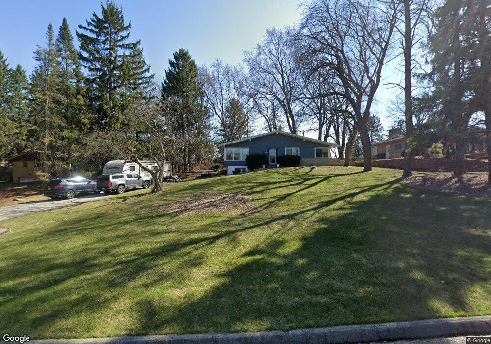
10255 Kay Pkwy Hales Corners, WI 53130
Estimated Value: $320,000 - $390,000
--
Bed
--
Bath
--
Sq Ft
0.46
Acres
About This Home
This home is located at 10255 Kay Pkwy, Hales Corners, WI 53130 and is currently estimated at $354,870. 10255 Kay Pkwy is a home located in Milwaukee County with nearby schools including Hales Corners Elementary School, Whitnall Middle School, and Whitnall High School.
Ownership History
Date
Name
Owned For
Owner Type
Purchase Details
Closed on
May 24, 2002
Sold by
Pheifer Anthony P and Pheifer Sandra L
Bought by
Mueller Joseph M
Current Estimated Value
Home Financials for this Owner
Home Financials are based on the most recent Mortgage that was taken out on this home.
Original Mortgage
$161,400
Outstanding Balance
$67,865
Interest Rate
6.87%
Mortgage Type
Purchase Money Mortgage
Estimated Equity
$287,005
Purchase Details
Closed on
Nov 27, 1996
Sold by
Butler Harry G and Olson Butler Susan M
Bought by
Pheifer Anthony P and Pheifer Sandra L
Home Financials for this Owner
Home Financials are based on the most recent Mortgage that was taken out on this home.
Original Mortgage
$126,000
Interest Rate
7.64%
Mortgage Type
Purchase Money Mortgage
Create a Home Valuation Report for This Property
The Home Valuation Report is an in-depth analysis detailing your home's value as well as a comparison with similar homes in the area
Home Values in the Area
Average Home Value in this Area
Purchase History
| Date | Buyer | Sale Price | Title Company |
|---|---|---|---|
| Mueller Joseph M | $189,900 | -- | |
| Pheifer Anthony P | $140,000 | -- |
Source: Public Records
Mortgage History
| Date | Status | Borrower | Loan Amount |
|---|---|---|---|
| Open | Mueller Joseph M | $161,400 | |
| Previous Owner | Pheifer Anthony P | $126,000 |
Source: Public Records
Tax History Compared to Growth
Tax History
| Year | Tax Paid | Tax Assessment Tax Assessment Total Assessment is a certain percentage of the fair market value that is determined by local assessors to be the total taxable value of land and additions on the property. | Land | Improvement |
|---|---|---|---|---|
| 2024 | $4,419 | $259,300 | $65,000 | $194,300 |
| 2023 | $4,419 | $259,300 | $65,000 | $194,300 |
| 2022 | $4,674 | $189,000 | $63,500 | $125,500 |
| 2021 | $4,489 | $189,000 | $63,500 | $125,500 |
| 2020 | $4,693 | $189,000 | $63,500 | $125,500 |
| 2019 | $4,710 | $189,000 | $63,500 | $125,500 |
| 2018 | $4,863 | $189,000 | $63,500 | $125,500 |
| 2017 | $4,680 | $189,000 | $63,500 | $125,500 |
| 2016 | $4,568 | $189,000 | $63,500 | $125,500 |
| 2015 | $5,383 | $224,900 | $58,100 | $166,800 |
Source: Public Records
Map
Nearby Homes
- 10380 W Whitnall Edge Cir Unit H
- 10264 W Whitnall Edge Cir Unit E
- 10152 W Whitnall Edge Dr Unit E
- 10464 W Whitnall Edge Dr Unit 203
- 10081 W Whitnall Edge Dr Unit F
- 11216 Bridget Ln
- 10340 W Parkwood Dr
- 10555 W Parnell Ave
- 11310 Haleco Ln
- 11022 W Liberty Ave
- 6749 S Prairie Wood Ln
- 6741 S Prairie Wood Ln
- 5531 S 110th St
- 6575 S Carroll Cir
- 10125 W Ridge Rd
- 10201 Brookside Dr
- 8866 Greenmeadow Ln
- 8805 Greenmeadow Ln
- 11931 W Janesville Rd
- 9839 Brookside Dr
- 10269 Kay Pkwy
- 10237 Kay Pkwy
- 10303 Kay Pkwy
- 10223 Kay Pkwy
- 10250 Parklane Ct
- 10264 Parklane Ct
- 10230 Parklane Ct
- 10306 Parklane Ct
- 10325 Kay Pkwy
- 10205 Kay Pkwy
- 10328 Parklane Ct
- 10401 Kay Pkwy
- 10212 Parklane Ct
- 10400 Parklane Ct
- 10245 Parklane Ct
- 10227 Parklane Ct
- 10125 Kay Pkwy
- 10311 Parklane Ct
- 10415 Kay Pkwy
- 10215 Parklane Ct