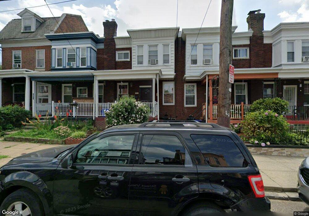
1026 1/2 Foulkrod St Philadelphia, PA 19124
Frankford NeighborhoodEstimated Value: $194,482 - $222,000
3
Beds
1
Bath
1,155
Sq Ft
$178/Sq Ft
Est. Value
About This Home
This home is located at 1026 1/2 Foulkrod St, Philadelphia, PA 19124 and is currently estimated at $206,121, approximately $178 per square foot. 1026 1/2 Foulkrod St is a home located in Philadelphia County with nearby schools including Frankford High School, The Philadelphia Charter School for the Arts & Sciences, and Northwood Academy Charter School.
Ownership History
Date
Name
Owned For
Owner Type
Purchase Details
Closed on
May 15, 2001
Sold by
Vanis Michael C
Bought by
Bryant Thelma
Current Estimated Value
Home Financials for this Owner
Home Financials are based on the most recent Mortgage that was taken out on this home.
Original Mortgage
$53,675
Outstanding Balance
$19,875
Interest Rate
7.08%
Estimated Equity
$186,246
Create a Home Valuation Report for This Property
The Home Valuation Report is an in-depth analysis detailing your home's value as well as a comparison with similar homes in the area
Home Values in the Area
Average Home Value in this Area
Purchase History
| Date | Buyer | Sale Price | Title Company |
|---|---|---|---|
| Bryant Thelma | $56,500 | First American Title Ins Co |
Source: Public Records
Mortgage History
| Date | Status | Borrower | Loan Amount |
|---|---|---|---|
| Open | Bryant Thelma | $53,675 | |
| Closed | Bryant Thelma | $4,252 |
Source: Public Records
Tax History Compared to Growth
Tax History
| Year | Tax Paid | Tax Assessment Tax Assessment Total Assessment is a certain percentage of the fair market value that is determined by local assessors to be the total taxable value of land and additions on the property. | Land | Improvement |
|---|---|---|---|---|
| 2026 | $2,227 | $189,200 | $37,840 | $151,360 |
| 2025 | $2,227 | $189,200 | $37,840 | $151,360 |
| 2024 | $2,227 | $189,200 | $37,840 | $151,360 |
| 2023 | $2,227 | $159,100 | $31,820 | $127,280 |
| 2022 | $1,597 | $114,100 | $31,820 | $82,280 |
| 2021 | $1,688 | $0 | $0 | $0 |
| 2020 | $1,688 | $0 | $0 | $0 |
| 2019 | $1,620 | $0 | $0 | $0 |
| 2018 | $1,620 | $0 | $0 | $0 |
| 2017 | $1,676 | $0 | $0 | $0 |
| 2016 | -- | $0 | $0 | $0 |
| 2015 | -- | $0 | $0 | $0 |
| 2014 | -- | $119,700 | $23,586 | $96,114 |
| 2012 | -- | $11,904 | $1,204 | $10,700 |
Source: Public Records
Map
Nearby Homes
- 4717 Northwood St
- 1001-3 Arrott St
- 1052 Allengrove St
- 1859 Harrison St
- 1300 Harrison St
- 926 Foulkrod St
- 4632 Oakland St
- 4600 Horrocks St
- 1241 Orthodox St
- 1335 Fillmore St
- 4628 Pilling St
- 1208 Haworth St
- 4626 Pilling St
- 1214 Haworth St
- 4665 Leiper St
- 4720 Penn St
- 4046 E Roosevelt Blvd
- 4431 Oakland St
- 5118 Oakland St
- 5033 Akron St
- 1026 Foulkrod St
- 1028 Foulkrod St
- 1024 Foulkrod St
- 1034 Foulkrod St
- 1030 Foulkrod St
- 1022 Foulkrod St
- 4738 Large St
- 1020 Foulkrod St
- 4736 Large St
- 1033 Herbert St
- 1018 Foulkrod St
- 4734 Large St
- 1035 Herbert St
- 1027 Herbert St
- 1031 Herbert St
- 1029 Herbert St
- 1025 Herbert St
- 4732 Large St
- 1016 Foulkrod St
- 1023 Herbert St