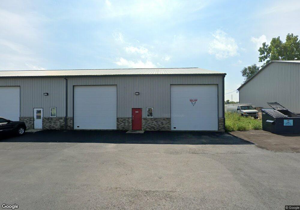
1026 Industry Rd New Lenox, IL 60451
Estimated Value: $181,823
--
Bed
--
Bath
--
Sq Ft
1,742
Sq Ft Lot
About This Home
This home is located at 1026 Industry Rd, New Lenox, IL 60451 and is currently estimated at $181,823. 1026 Industry Rd is a home located in Will County with nearby schools including Bentley Elementary School, Arnold J Tyler School, and Alex M Martino Jr High School.
Ownership History
Date
Name
Owned For
Owner Type
Purchase Details
Closed on
Feb 28, 2018
Sold by
The First Bank Of Manhattan
Bought by
Four Z Holdins Llc
Current Estimated Value
Home Financials for this Owner
Home Financials are based on the most recent Mortgage that was taken out on this home.
Original Mortgage
$92,000
Outstanding Balance
$66,453
Interest Rate
4.38%
Mortgage Type
Commercial
Estimated Equity
$115,370
Create a Home Valuation Report for This Property
The Home Valuation Report is an in-depth analysis detailing your home's value as well as a comparison with similar homes in the area
Home Values in the Area
Average Home Value in this Area
Purchase History
| Date | Buyer | Sale Price | Title Company |
|---|---|---|---|
| Four Z Holdins Llc | $115,000 | None Available |
Source: Public Records
Mortgage History
| Date | Status | Borrower | Loan Amount |
|---|---|---|---|
| Open | Four Z Holdins Llc | $92,000 |
Source: Public Records
Tax History Compared to Growth
Tax History
| Year | Tax Paid | Tax Assessment Tax Assessment Total Assessment is a certain percentage of the fair market value that is determined by local assessors to be the total taxable value of land and additions on the property. | Land | Improvement |
|---|---|---|---|---|
| 2024 | $1,082 | $13,830 | $2,080 | $11,750 |
| 2023 | $1,082 | $13,830 | $2,080 | $11,750 |
| 2022 | $1,147 | $13,750 | $2,000 | $11,750 |
| 2021 | $1,162 | $13,750 | $2,000 | $11,750 |
| 2020 | $1,191 | $13,750 | $2,000 | $11,750 |
| 2019 | $1,160 | $13,750 | $2,000 | $11,750 |
| 2018 | $1,176 | $13,750 | $2,000 | $11,750 |
| 2017 | $1,152 | $13,750 | $2,000 | $11,750 |
| 2016 | $1,151 | $13,750 | $2,000 | $11,750 |
| 2015 | $1,803 | $13,750 | $2,000 | $11,750 |
| 2014 | $1,803 | $21,679 | $2,265 | $19,414 |
| 2013 | $1,803 | $21,679 | $2,265 | $19,414 |
Source: Public Records
Map
Nearby Homes
- 920 Barnside Rd
- 1000 S Cedar Rd
- 203 Tonell Ave
- LOT 8 W Laraway Rd
- 329 Hancock Dr
- 1990 Edgeview Dr
- 1981 Stapleton Rd
- 13255 W Laraway Rd
- 00 NE Corner Cherry Hill Road and Moss Lane Rd
- 911 Canongate Ln
- 805 Regent St
- 117 Walona Ave
- 604 Ogden Rd
- 328 E Lincoln Hwy
- 2067 Edgeview Dr
- 315 S Pine St
- 575 Caledonia Dr
- 14620 W Laraway Rd
- 2231 Stone Creek Dr
- Galveston Plan at Calistoga
- 1027 Industry Rd
- 1031 Industry Rd
- 1041 Industry Rd
- 1043 Industry Rd Unit 1027-4
- 1043 Industry Rd Unit 1027-43
- 1043 Industry Rd
- 14027 W Illinois Hwy
- 1005 Industry Rd
- 14025 W Illinois Hwy
- 1039 Industry Rd Unit 2
- 1039 Industry Rd
- 14023 W Illinois Hwy
- 14021 W Illinois Hwy
- 14019 W Illinois Hwy
- 538 E Illinois Hwy Unit C
- 538 E Illinois Hwy Unit D
- 538 E Illinois Hwy
- 538 E Illinois Hwy Unit B
- 14015 W Illinois Hwy Unit 20
- 14015 W Illinois Hwy