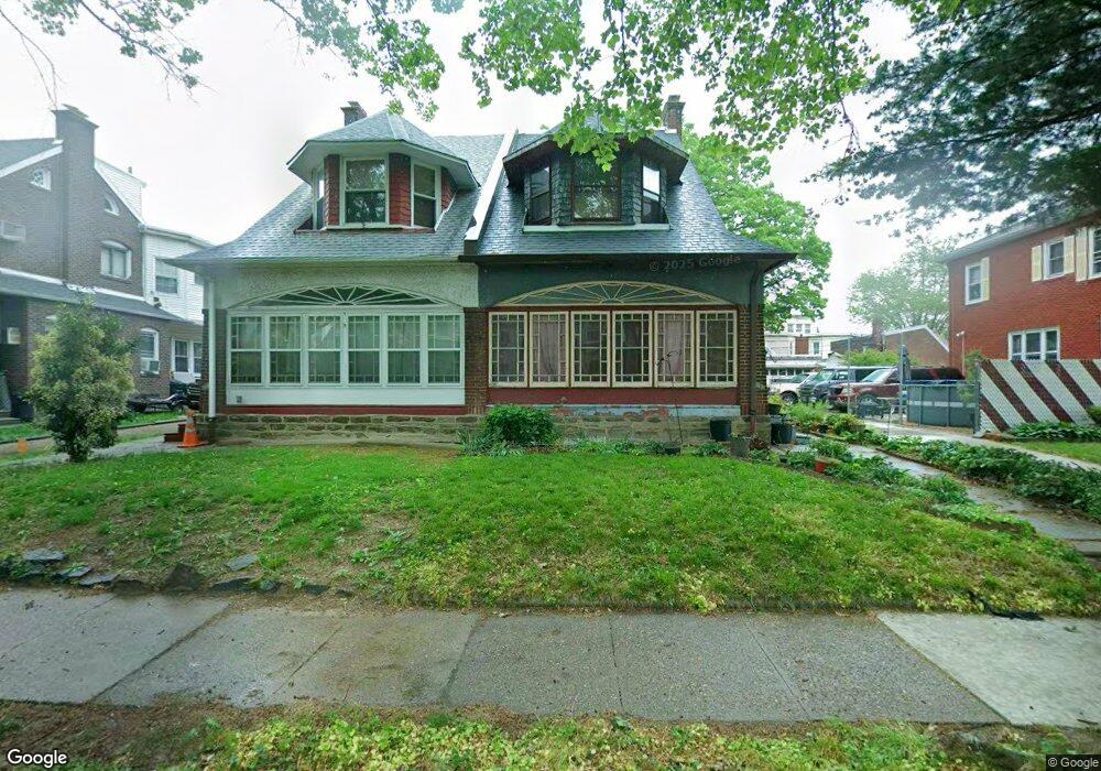
1027 Kenwyn St Philadelphia, PA 19124
Frankford NeighborhoodEstimated Value: $272,000 - $332,000
4
Beds
1
Bath
2,125
Sq Ft
$143/Sq Ft
Est. Value
About This Home
This home is located at 1027 Kenwyn St, Philadelphia, PA 19124 and is currently estimated at $303,661, approximately $142 per square foot. 1027 Kenwyn St is a home located in Philadelphia County with nearby schools including Frankford High School, The Philadelphia Charter School for the Arts & Sciences, and Northwood Academy Charter School.
Ownership History
Date
Name
Owned For
Owner Type
Purchase Details
Closed on
Jul 27, 2001
Sold by
Mckeever Mary K
Bought by
Holland Frank B
Current Estimated Value
Home Financials for this Owner
Home Financials are based on the most recent Mortgage that was taken out on this home.
Original Mortgage
$104,400
Outstanding Balance
$39,652
Interest Rate
7.1%
Estimated Equity
$264,009
Create a Home Valuation Report for This Property
The Home Valuation Report is an in-depth analysis detailing your home's value as well as a comparison with similar homes in the area
Home Values in the Area
Average Home Value in this Area
Purchase History
| Date | Buyer | Sale Price | Title Company |
|---|---|---|---|
| Holland Frank B | $109,900 | -- |
Source: Public Records
Mortgage History
| Date | Status | Borrower | Loan Amount |
|---|---|---|---|
| Open | Holland Frank B | $104,400 |
Source: Public Records
Tax History Compared to Growth
Tax History
| Year | Tax Paid | Tax Assessment Tax Assessment Total Assessment is a certain percentage of the fair market value that is determined by local assessors to be the total taxable value of land and additions on the property. | Land | Improvement |
|---|---|---|---|---|
| 2026 | $3,607 | $284,800 | $56,960 | $227,840 |
| 2025 | $3,607 | $284,800 | $56,960 | $227,840 |
| 2024 | $3,607 | $284,800 | $56,960 | $227,840 |
| 2023 | $3,607 | $257,700 | $51,540 | $206,160 |
| 2022 | $2,056 | $212,700 | $51,540 | $161,160 |
| 2021 | $2,686 | $0 | $0 | $0 |
| 2020 | $2,686 | $0 | $0 | $0 |
| 2019 | $2,577 | $0 | $0 | $0 |
| 2018 | $2,500 | $0 | $0 | $0 |
| 2017 | $2,500 | $0 | $0 | $0 |
| 2016 | $2,080 | $0 | $0 | $0 |
| 2015 | $1,560 | $0 | $0 | $0 |
| 2014 | -- | $178,600 | $54,912 | $123,688 |
| 2012 | -- | $22,208 | $2,729 | $19,479 |
Source: Public Records
Map
Nearby Homes
- 1048 Bridge St
- 1137 Bridge St
- 1204 Pratt St
- 1052 Allengrove St
- 5505 Loretto Ave
- 4046 E Roosevelt Blvd
- 1218 Pratt St
- 1220 Pratt St
- 1859 Harrison St
- 5659 Miriam Rd
- 5640 Miriam Rd
- 5661 Miriam Rd
- 1208 Haworth St
- 1214 Haworth St
- 5118 Oakland St
- 934 Brill St
- 991 Carver St
- 996 Anchor St
- 5347 Sylvester St
- 926 Foulkrod St