1028 Buchanan Trail E Greencastle, PA 17225
Estimated Value: $125,291 - $792,000
--
Bed
1
Bath
1,230
Sq Ft
$325/Sq Ft
Est. Value
About This Home
This home is located at 1028 Buchanan Trail E, Greencastle, PA 17225 and is currently estimated at $399,573, approximately $324 per square foot. 1028 Buchanan Trail E is a home located in Franklin County with nearby schools including Greencastle-Antrim Primary School, Greencastle-Antrim Elementary School, and Greencastle-Antrim Middle School.
Ownership History
Date
Name
Owned For
Owner Type
Purchase Details
Closed on
Feb 23, 2019
Sold by
Rice Charles E and Rice Jennifer S
Bought by
Rice Charles E and Rice Jennifer S
Current Estimated Value
Purchase Details
Closed on
Sep 24, 2013
Sold by
Rice Charles E and Rice Anne E
Bought by
Rice Charles E
Home Financials for this Owner
Home Financials are based on the most recent Mortgage that was taken out on this home.
Original Mortgage
$224,000
Interest Rate
4.35%
Mortgage Type
New Conventional
Create a Home Valuation Report for This Property
The Home Valuation Report is an in-depth analysis detailing your home's value as well as a comparison with similar homes in the area
Home Values in the Area
Average Home Value in this Area
Purchase History
| Date | Buyer | Sale Price | Title Company |
|---|---|---|---|
| Rice Charles E | -- | None Available | |
| Rice Charles E | -- | None Available |
Source: Public Records
Mortgage History
| Date | Status | Borrower | Loan Amount |
|---|---|---|---|
| Closed | Rice Charles E | $224,000 |
Source: Public Records
Tax History Compared to Growth
Tax History
| Year | Tax Paid | Tax Assessment Tax Assessment Total Assessment is a certain percentage of the fair market value that is determined by local assessors to be the total taxable value of land and additions on the property. | Land | Improvement |
|---|---|---|---|---|
| 2025 | $4,157 | $24,850 | $1,000 | $23,850 |
| 2024 | $3,771 | $24,850 | $1,000 | $23,850 |
| 2023 | $3,727 | $24,850 | $1,000 | $23,850 |
| 2022 | $3,727 | $24,850 | $1,000 | $23,850 |
| 2021 | $3,655 | $24,850 | $1,000 | $23,850 |
| 2020 | $3,560 | $24,850 | $1,000 | $23,850 |
| 2019 | $189 | $24,850 | $1,000 | $23,850 |
| 2018 | $3,441 | $24,850 | $1,000 | $23,850 |
| 2017 | $3,355 | $24,850 | $1,000 | $23,850 |
| 2016 | $712 | $24,850 | $1,000 | $23,850 |
| 2015 | $663 | $24,850 | $1,000 | $23,850 |
| 2014 | $663 | $24,850 | $1,000 | $23,850 |
Source: Public Records
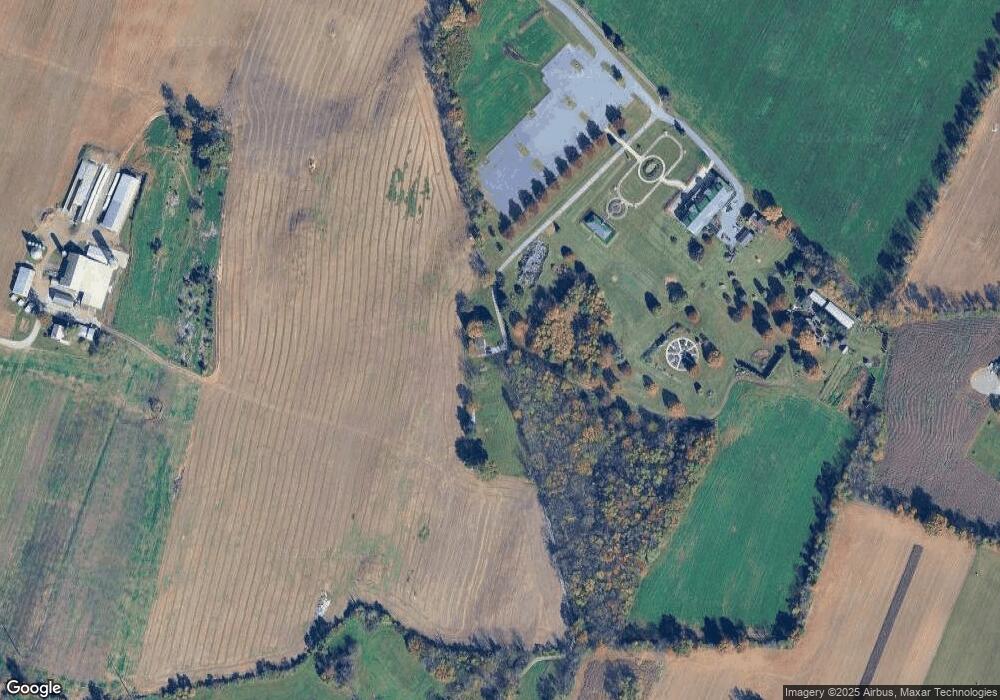
Map
Nearby Homes
- 1631 Buchanan Trail E
- 823 Buchanan Trail E
- 431 Leitersburg St
- 602 Brookview Dr
- 674 Lohman Ave
- 775 Lohman Ave
- 271 E Baltimore St
- 34.77 Acres Red Oak Estate S
- 231 N Allison St Unit 1
- 560 Meadowview Cir
- 0 Molly Pitcher Hwy Unit PAFL178468
- 0 Molly Pitcher Hwy Unit PAFL2030380
- 0 Molly Pitcher Hwy Unit PAFL178444
- 101 N Carlisle St
- 45 W Dahlgren St
- 480 S Carlisle St
- 148 N Carlisle St
- 341 W Baltimore St
- 375 Carolle St
- 382 Teaberry Dr
- 1028 Buchanan Trail E
- 1024 Buchanan Trail E
- 12245 Ridge Rd
- 0 Hayfield Ct Unit 1000267328
- 5989 Flower Dr
- 0 Flower Dr
- LOT 40 Flower Dr
- 11835 Ridge Rd
- 5996 Flower Dr
- 5984 Flower Dr
- 11862 Ridge Rd
- 11806 Ridge Rd
- 11842 Ridge Rd
- 11784 Ridge Rd
- 12474 Ridge Rd
- 11735 Ridge Rd
- 11735 Ridge Rd
- 12502 Ridge Rd
- 12521 Ridge Rd
- 11734 Ridge Rd