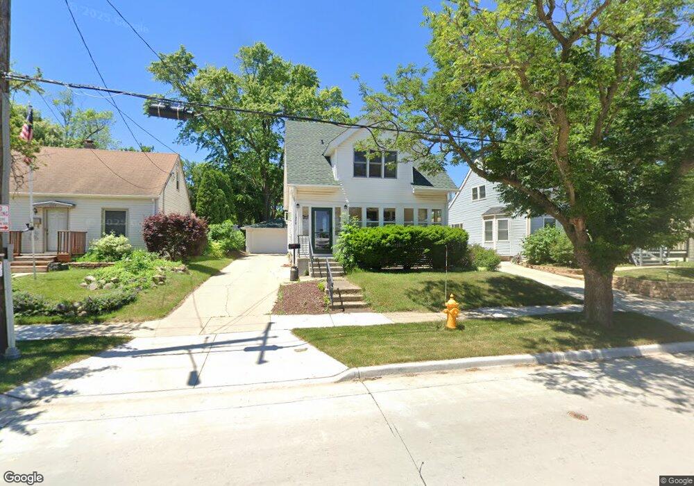
1028 Perkins Ave Waukesha, WI 53186
Estimated Value: $276,000 - $294,689
3
Beds
2
Baths
1,506
Sq Ft
$190/Sq Ft
Est. Value
About This Home
This home is located at 1028 Perkins Ave, Waukesha, WI 53186 and is currently estimated at $286,422, approximately $190 per square foot. 1028 Perkins Ave is a home located in Waukesha County with nearby schools including Hadfield Elementary School, Horning Middle School, and South High School.
Ownership History
Date
Name
Owned For
Owner Type
Purchase Details
Closed on
Jan 5, 2017
Sold by
Mitchell Deborah A
Bought by
Deborah A Mitchell Living Trust
Current Estimated Value
Purchase Details
Closed on
Jan 22, 1997
Sold by
Resler Todd C
Bought by
Mitchell Deborah A and Resler Deborah A
Home Financials for this Owner
Home Financials are based on the most recent Mortgage that was taken out on this home.
Original Mortgage
$73,000
Interest Rate
7.73%
Create a Home Valuation Report for This Property
The Home Valuation Report is an in-depth analysis detailing your home's value as well as a comparison with similar homes in the area
Home Values in the Area
Average Home Value in this Area
Purchase History
| Date | Buyer | Sale Price | Title Company |
|---|---|---|---|
| Deborah A Mitchell Living Trust | -- | None Available | |
| Mitchell Deborah A | -- | -- |
Source: Public Records
Mortgage History
| Date | Status | Borrower | Loan Amount |
|---|---|---|---|
| Closed | Mitchell Deborah A | $73,000 |
Source: Public Records
Tax History Compared to Growth
Tax History
| Year | Tax Paid | Tax Assessment Tax Assessment Total Assessment is a certain percentage of the fair market value that is determined by local assessors to be the total taxable value of land and additions on the property. | Land | Improvement |
|---|---|---|---|---|
| 2024 | $3,182 | $219,200 | $42,200 | $177,000 |
| 2023 | $3,080 | $219,200 | $42,200 | $177,000 |
| 2022 | $2,769 | $148,800 | $45,900 | $102,900 |
| 2021 | $2,822 | $148,800 | $45,900 | $102,900 |
| 2020 | $2,745 | $148,800 | $45,900 | $102,900 |
| 2019 | $2,649 | $148,800 | $45,900 | $102,900 |
| 2018 | $2,484 | $136,500 | $41,500 | $95,000 |
| 2017 | $2,490 | $136,500 | $41,500 | $95,000 |
| 2016 | $2,475 | $127,600 | $39,300 | $88,300 |
| 2015 | $2,465 | $127,600 | $39,300 | $88,300 |
| 2014 | -- | $126,300 | $39,300 | $87,000 |
| 2013 | -- | $126,300 | $39,300 | $87,000 |
Source: Public Records
Map
Nearby Homes
- 1219 National Ave
- 953 Genesee St
- 930 Harding Ave
- 918 Niagara St
- 1349 Rose Ct Unit 62
- 1021 Arcadian Ave
- 1103 Arcadian Ave
- 1021 Aurora St
- 1333 Niagara St
- 1462 Cleveland Ave
- 1471 Cleveland Ave
- 1308 Danny St
- 937 E Moreland Blvd
- 512 E Main St
- 1139 White Rock Ave
- 1609 Murray Ave
- 1112 Gertrude St
- 100 E Main St Unit 403
- 100 E Main St Unit 307
- S17W22650 Lincoln Ave
- 1032 Perkins Ave
- 1024 Perkins Ave
- 1036 Perkins Ave
- 1020 Perkins Ave
- 1040 Perkins Ave
- 1029 Genesee St
- 1025 Genesee St
- 1033 Genesee St
- 1016 Perkins Ave
- 1037 Genesee St
- 1044 Perkins Ave
- 1021 Genesee St
- 1017 Genesee St
- 1041 Genesee St
- 1018 Genesee St
- 1013 Genesee St
- 1045 Genesee St
- 1050 Perkins Ave
- 1010 Genesee St
- 1009 Genesee St