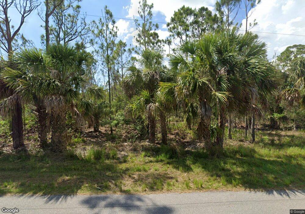
1029 Davenport Dr Port Charlotte, FL 33953
Northwest Port Charlotte NeighborhoodEstimated Value: $16,163 - $119,000
--
Bed
--
Bath
--
Sq Ft
10,019
Sq Ft Lot
About This Home
This home is located at 1029 Davenport Dr, Port Charlotte, FL 33953 and is currently estimated at $50,541. 1029 Davenport Dr is a home located in Charlotte County with nearby schools including Liberty Elementary School, Murdock Middle School, and Port Charlotte High School.
Ownership History
Date
Name
Owned For
Owner Type
Purchase Details
Closed on
Dec 24, 2006
Sold by
Waldon Lester
Bought by
Butler Robert
Current Estimated Value
Purchase Details
Closed on
Jun 18, 2004
Sold by
New Vista Properties Inc
Bought by
Waldon Lester
Home Financials for this Owner
Home Financials are based on the most recent Mortgage that was taken out on this home.
Original Mortgage
$14,392
Interest Rate
10.9%
Mortgage Type
Seller Take Back
Create a Home Valuation Report for This Property
The Home Valuation Report is an in-depth analysis detailing your home's value as well as a comparison with similar homes in the area
Home Values in the Area
Average Home Value in this Area
Purchase History
| Date | Buyer | Sale Price | Title Company |
|---|---|---|---|
| Butler Robert | $15,000 | Attorney | |
| Waldon Lester | $18,000 | -- |
Source: Public Records
Mortgage History
| Date | Status | Borrower | Loan Amount |
|---|---|---|---|
| Previous Owner | Waldon Lester | $14,392 |
Source: Public Records
Tax History Compared to Growth
Tax History
| Year | Tax Paid | Tax Assessment Tax Assessment Total Assessment is a certain percentage of the fair market value that is determined by local assessors to be the total taxable value of land and additions on the property. | Land | Improvement |
|---|---|---|---|---|
| 2023 | $455 | $4,320 | $0 | $0 |
| 2022 | $430 | $10,200 | $10,200 | $0 |
| 2021 | $385 | $3,570 | $3,570 | $0 |
| 2020 | $377 | $3,570 | $3,570 | $0 |
| 2019 | $375 | $3,570 | $3,570 | $0 |
| 2018 | $365 | $3,315 | $3,315 | $0 |
| 2017 | $361 | $3,196 | $3,196 | $0 |
| 2016 | $357 | $3,060 | $0 | $0 |
| 2015 | $353 | $2,788 | $0 | $0 |
| 2014 | $252 | $2,768 | $0 | $0 |
Source: Public Records
Map
Nearby Homes
- 1014 Nautilus Terrace
- 1014 Longacre Terrace
- 1078 Butterfield St
- 1069 Nautilus Terrace
- 12525 Welon Ave
- 1109 Nautilus Terrace
- 1077 Nautilus Terrace
- 1021 Nautilus Terrace
- 1053 Nautilus Terrace
- 1094 Nautilus Terrace
- 12564 Welon Ave
- 12530 Welon Ave
- 12355 Benner Ln
- 1054 Cheshire St
- 1025 Cheshire St
- 12469 Harlow Ave
- 12501 Harlow Ave
- 12493 Harlow Ave
- 12520 Harlow Ave
- 1200 Butterfield St
- 1015 Davenport Dr
- 1045 Davenport Dr
- 1038 Butterfield St
- 1053 Davenport Dr
- 1007 Davenport Dr
- 1010 Davenport Dr
- 1058 Butterfield St
- 1045 Nautilus Terrace
- 1062 Nautilus Terrace
- 12591 Chamberlain Blvd
- 1007 Nautilus Terrace
- 12558 Chamberlain Blvd
- 12566 Chamberlain Blvd
- 1053 Butterfield St
- 12550 Chamberlain Blvd
- 1046 Longacre Terrace
- 12576 Chamberlain Blvd
- 12542 Chamberlain Blvd
- 1076 Davenport Dr
- 1061 Butterfield St