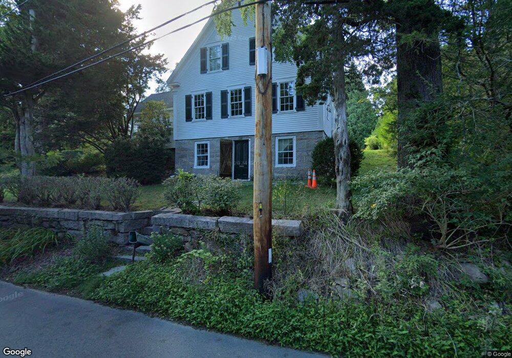
103 Elm Rd Falmouth, MA 02540
Falmouth Village NeighborhoodEstimated Value: $1,130,733 - $1,538,000
3
Beds
2
Baths
1,723
Sq Ft
$753/Sq Ft
Est. Value
About This Home
This home is located at 103 Elm Rd, Falmouth, MA 02540 and is currently estimated at $1,296,933, approximately $752 per square foot. 103 Elm Rd is a home located in Barnstable County with nearby schools including Mullen-Hall School, Lawrence School, and Morse Pond School.
Ownership History
Date
Name
Owned For
Owner Type
Purchase Details
Closed on
May 24, 2019
Sold by
John E Martin 2018 Ret
Bought by
Colleen D Hurter Ret
Current Estimated Value
Purchase Details
Closed on
Mar 19, 2013
Sold by
Hurter Colleen D
Bought by
Colleen D Hurter Ret and Hurter Colleen D
Purchase Details
Closed on
Jun 7, 1996
Sold by
Hunt Mary M
Bought by
Hurter Colleen D
Home Financials for this Owner
Home Financials are based on the most recent Mortgage that was taken out on this home.
Original Mortgage
$24,000
Interest Rate
7.97%
Create a Home Valuation Report for This Property
The Home Valuation Report is an in-depth analysis detailing your home's value as well as a comparison with similar homes in the area
Home Values in the Area
Average Home Value in this Area
Purchase History
| Date | Buyer | Sale Price | Title Company |
|---|---|---|---|
| Colleen D Hurter Ret | $220,000 | -- | |
| Colleen D Hurter Ret | -- | -- | |
| Hurter Colleen D | $15,000 | -- |
Source: Public Records
Mortgage History
| Date | Status | Borrower | Loan Amount |
|---|---|---|---|
| Previous Owner | Hurter Colleen D | $24,000 | |
| Previous Owner | Hurter Colleen D | $20,000 |
Source: Public Records
Tax History Compared to Growth
Tax History
| Year | Tax Paid | Tax Assessment Tax Assessment Total Assessment is a certain percentage of the fair market value that is determined by local assessors to be the total taxable value of land and additions on the property. | Land | Improvement |
|---|---|---|---|---|
| 2025 | $6,122 | $1,042,900 | $644,400 | $398,500 |
| 2024 | $5,961 | $949,200 | $586,400 | $362,800 |
| 2023 | $5,299 | $765,800 | $485,300 | $280,500 |
| 2022 | $5,318 | $660,600 | $426,600 | $234,000 |
| 2021 | $5,373 | $632,100 | $426,600 | $205,500 |
| 2020 | $5,096 | $593,300 | $387,800 | $205,500 |
| 2019 | $5,036 | $588,300 | $387,800 | $200,500 |
| 2018 | $5,074 | $580,700 | $387,800 | $192,900 |
| 2017 | $4,906 | $575,100 | $387,800 | $187,300 |
| 2016 | $4,814 | $575,100 | $387,800 | $187,300 |
| 2015 | $4,710 | $575,100 | $387,800 | $187,300 |
| 2014 | $4,680 | $574,200 | $387,700 | $186,500 |
Source: Public Records
Map
Nearby Homes
- 15 Hedge Ln
- 38 Landfall Unit 38
- 38 Landfall
- 71 Main St
- 65 Walker St
- 98 Main St
- 98 Main St Unit 1
- 30 Katherine Lee Bates Rd
- 33 Oakwood Ave
- 87 Oyster Pond Rd
- 480 Main St Unit 1
- 251 Woods Hole Rd
- 110 Dillingham Ave Unit 322
- 45 Haynes Ave
- 253 Scranton Ave
- 27 Upland Ave
- 44 Carey Ln
- 354 Gifford St Unit 5
- 354 Gifford St Unit 2
- 94 Elm Rd
- 85 Elm Rd
- 82 Elm Rd
- 131 Elm Rd
- 122 Elm Rd
- 75 Elm Rd
- 26 Old Colony Place
- 34 Old Colony Place
- 141 Elm Rd
- 22 Katy Hatchs Rd
- 26 Katy Hatchs Rd
- 66 Elm Rd
- 63 Elm Rd
- 32 Katy Hatchs Rd
- 36 Old Colony Place
- 23 Old Colony Place
- 17 Old Colony Place
- 36 Katy Hatchs Rd
- 16 Katy Hatchs Rd
- 29 Old Colony Place