103 Maple Ct Hawley, PA 18428
Estimated Value: $291,740 - $304,000
3
Beds
3
Baths
1,729
Sq Ft
$172/Sq Ft
Est. Value
About This Home
This home is located at 103 Maple Ct, Hawley, PA 18428 and is currently estimated at $297,870, approximately $172 per square foot. 103 Maple Ct is a home located in Pike County with nearby schools including Wallenpaupack Area High School.
Ownership History
Date
Name
Owned For
Owner Type
Purchase Details
Closed on
Dec 9, 2011
Sold by
King Scott C and King Wendy L
Bought by
Menkin Alexander and Menkin Serge
Current Estimated Value
Purchase Details
Closed on
Feb 26, 2008
Sold by
Buonocore Andrew and Buonocore Maria
Bought by
King Scott C and King Wendy L
Home Financials for this Owner
Home Financials are based on the most recent Mortgage that was taken out on this home.
Original Mortgage
$100,000
Interest Rate
5.57%
Mortgage Type
New Conventional
Create a Home Valuation Report for This Property
The Home Valuation Report is an in-depth analysis detailing your home's value as well as a comparison with similar homes in the area
Home Values in the Area
Average Home Value in this Area
Purchase History
| Date | Buyer | Sale Price | Title Company |
|---|---|---|---|
| Menkin Alexander | $153,000 | None Available | |
| King Scott C | $170,000 | None Available |
Source: Public Records
Mortgage History
| Date | Status | Borrower | Loan Amount |
|---|---|---|---|
| Previous Owner | King Scott C | $100,000 |
Source: Public Records
Tax History Compared to Growth
Tax History
| Year | Tax Paid | Tax Assessment Tax Assessment Total Assessment is a certain percentage of the fair market value that is determined by local assessors to be the total taxable value of land and additions on the property. | Land | Improvement |
|---|---|---|---|---|
| 2025 | $2,888 | $24,260 | $2,000 | $22,260 |
| 2024 | $2,888 | $24,260 | $2,000 | $22,260 |
| 2023 | $2,785 | $24,260 | $2,000 | $22,260 |
| 2022 | $2,724 | $24,260 | $2,000 | $22,260 |
| 2021 | $2,679 | $24,290 | $2,000 | $22,290 |
| 2020 | $2,679 | $24,290 | $2,000 | $22,290 |
| 2019 | $2,599 | $24,290 | $2,000 | $22,290 |
| 2018 | $2,559 | $24,290 | $2,000 | $22,290 |
| 2017 | $2,484 | $24,290 | $2,000 | $22,290 |
| 2016 | $0 | $24,290 | $2,000 | $22,290 |
| 2015 | -- | $24,290 | $2,000 | $22,290 |
| 2014 | -- | $24,290 | $2,000 | $22,290 |
Source: Public Records
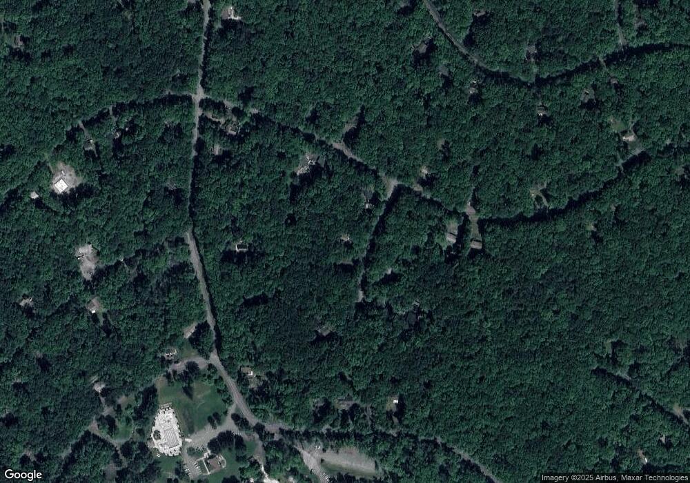
Map
Nearby Homes
- 147 Forest Ridge Dr
- 437 Westcolang Rd
- 108 Cottonwood Dr
- Lot 268 Evergreen Ct
- 117 Oak Hill Rd
- 179 Forest Ridge Dr
- 104 White Tail Cir
- 119 Upper Lakeview Dr
- 0 White Tail Cir
- LOT 95 White Tail Cir
- lot 314 Forest Ridge Dr
- Lot 92 Stone Dr
- 143 Stone Dr
- 103 Summit Place
- 380 Falling Waters Blvd
- 0 Upper Lakeview Dr
- 330 W Lakeview Rd
- 0 Ledgerview Ct
- 133 Deer Trail Dr
- Lot # 253 Valleyview Ct
- 105 Maple Ct
- 382 Maple Ct
- 101 Maple Ct
- 101 Maple Ct
- 104 Maple Ct
- 104 Maple Ct
- 144 Forest Ridge Dr
- 111 Maple Ct
- 110 Maple Ct
- 109 Firwood Way
- 132 Forest Ridge Dr
- 105 Firwood Way
- 0 Lot 371 Sec 7 Firwood Way
- 146 Forest Ridge Dr
- 135 Forest Ridge Dr
- 130 Forest Ridge Dr
- 131 Forest Ridge Dr
- 117 Firwood Way
- 421 Westcolang Rd
- 364 Westcolang Rd