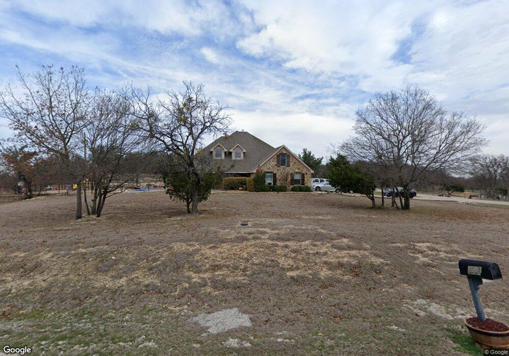
103 Royal Dr Weatherford, TX 76085
Estimated Value: $542,000 - $595,000
--
Bed
--
Bath
2,724
Sq Ft
$208/Sq Ft
Est. Value
About This Home
This home is located at 103 Royal Dr, Weatherford, TX 76085 and is currently estimated at $566,473, approximately $207 per square foot. 103 Royal Dr is a home located in Parker County with nearby schools including Silver Creek Elementary School, Azle Elementary School, and Azle Junior High School.
Ownership History
Date
Name
Owned For
Owner Type
Purchase Details
Closed on
Sep 9, 2005
Sold by
C & A Classic Homes Lp
Bought by
Wreay Michael W and Wreay Carla
Current Estimated Value
Home Financials for this Owner
Home Financials are based on the most recent Mortgage that was taken out on this home.
Original Mortgage
$154,000
Outstanding Balance
$82,546
Interest Rate
5.88%
Mortgage Type
New Conventional
Estimated Equity
$483,927
Purchase Details
Closed on
May 19, 2005
Sold by
Partagas Properties Ltd
Bought by
Wreay Michael W and Wreay Carla
Home Financials for this Owner
Home Financials are based on the most recent Mortgage that was taken out on this home.
Original Mortgage
$154,000
Interest Rate
5.87%
Mortgage Type
Construction
Create a Home Valuation Report for This Property
The Home Valuation Report is an in-depth analysis detailing your home's value as well as a comparison with similar homes in the area
Home Values in the Area
Average Home Value in this Area
Purchase History
| Date | Buyer | Sale Price | Title Company |
|---|---|---|---|
| Wreay Michael W | -- | -- | |
| Norht American Savings Fsb | -- | None Available | |
| Wreay Michael W | -- | -- | |
| C & A Classic Homes Lp | -- | None Available |
Source: Public Records
Mortgage History
| Date | Status | Borrower | Loan Amount |
|---|---|---|---|
| Open | Norht American Savings Fsb | $154,000 | |
| Closed | Wreay Michael W | $154,000 | |
| Previous Owner | C & A Classic Homes Lp | $154,000 |
Source: Public Records
Tax History Compared to Growth
Tax History
| Year | Tax Paid | Tax Assessment Tax Assessment Total Assessment is a certain percentage of the fair market value that is determined by local assessors to be the total taxable value of land and additions on the property. | Land | Improvement |
|---|---|---|---|---|
| 2025 | $2,578 | $477,018 | -- | -- |
| 2024 | $2,578 | $433,653 | -- | -- |
| 2023 | $2,578 | $394,230 | $0 | $0 |
| 2022 | $6,500 | $400,070 | $57,160 | $342,910 |
| 2021 | $6,191 | $400,070 | $57,160 | $342,910 |
| 2020 | $5,598 | $347,320 | $46,110 | $301,210 |
| 2019 | $5,394 | $347,320 | $46,110 | $301,210 |
| 2018 | $4,919 | $239,920 | $30,000 | $209,920 |
| 2017 | $4,534 | $239,920 | $30,000 | $209,920 |
| 2016 | $4,122 | $210,970 | $30,000 | $180,970 |
| 2015 | $1,519 | $210,970 | $30,000 | $180,970 |
| 2014 | -- | $221,660 | $30,000 | $191,660 |
Source: Public Records
Map
Nearby Homes
- 110 Bolivar Dr
- 133 Miramar Cir
- 209 Churchill Ct
- 181 Churchill Cir
- 4024 Olivia Lucille St
- 6021 Piper Anne St
- 1020 Boulder Rd
- 5017 Freestone Dr
- 174 Scott Ln
- 1089 Flagstone Dr
- 7503 Sabathney Rd
- 357 Mastadon Way
- 1009 Boulder Rd
- 9999 S Fm 730
- 1017 Don Eve Ct
- 1016 Don Eve Ct
- 1032 Don Eve Ct
- 1028 Don Eve Ct
- 1024 Don Eve Ct
- 1025 Don Eve Ct
- 104 Royal Dr
- 154 Miramar Cir
- 207 Royal Ct
- 340 Miramar Cir
- 208 Royal Ct
- 144 Miramar Cir
- 211 Royal Ct
- 334 Miramar Cir
- 352 Miramar Cir
- 153 Miramar Cir
- 149 Miramar Cir
- 157 Miramar Cir
- Lot 22 Miramar Cir
- 164 Miramar Cir
- 161 Miramar Cir
- 360 Miramar Cir
- 117 Royal Dr
- 136 Miramar Cir
- 145 Miramar Cir
- 328 Miramar Cir