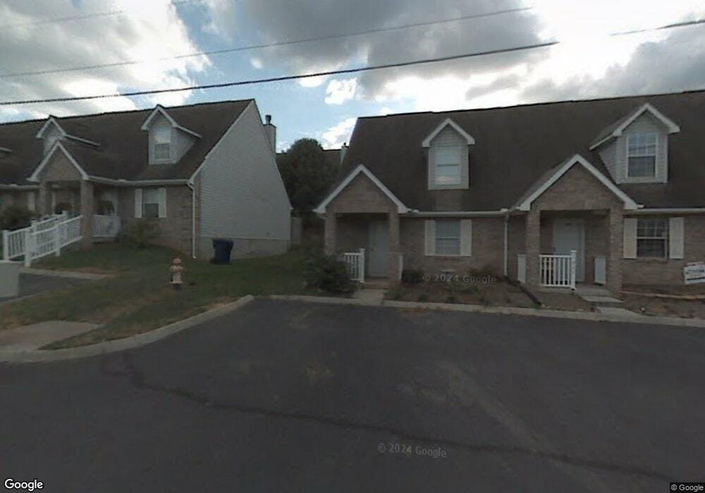
1031 Nod St Knoxville, TN 37932
Hardin Valley NeighborhoodEstimated Value: $233,000 - $239,000
2
Beds
2
Baths
1,020
Sq Ft
$232/Sq Ft
Est. Value
About This Home
This home is located at 1031 Nod St, Knoxville, TN 37932 and is currently estimated at $236,901, approximately $232 per square foot. 1031 Nod St is a home located in Knox County with nearby schools including Farragut Primary School, Farragut Intermediate School, and Hardin Valley Middle School.
Ownership History
Date
Name
Owned For
Owner Type
Purchase Details
Closed on
Jan 3, 2020
Sold by
Miller John L and Thomas Ruth E
Bought by
Knight Kristin D
Current Estimated Value
Home Financials for this Owner
Home Financials are based on the most recent Mortgage that was taken out on this home.
Original Mortgage
$120,650
Outstanding Balance
$106,599
Interest Rate
3.6%
Mortgage Type
New Conventional
Estimated Equity
$130,302
Purchase Details
Closed on
Jul 12, 2019
Sold by
Miller John L and Thomas Ruth E
Bought by
Miller John L and Thomas Ruth E
Create a Home Valuation Report for This Property
The Home Valuation Report is an in-depth analysis detailing your home's value as well as a comparison with similar homes in the area
Home Values in the Area
Average Home Value in this Area
Purchase History
| Date | Buyer | Sale Price | Title Company |
|---|---|---|---|
| Knight Kristin D | $127,000 | None Available | |
| Miller John L | -- | None Available | |
| Thomas Ruth E | -- | None Available |
Source: Public Records
Mortgage History
| Date | Status | Borrower | Loan Amount |
|---|---|---|---|
| Open | Knight Kristin D | $120,650 |
Source: Public Records
Tax History Compared to Growth
Tax History
| Year | Tax Paid | Tax Assessment Tax Assessment Total Assessment is a certain percentage of the fair market value that is determined by local assessors to be the total taxable value of land and additions on the property. | Land | Improvement |
|---|---|---|---|---|
| 2024 | $528 | $33,950 | $0 | $0 |
| 2023 | $528 | $33,950 | $0 | $0 |
| 2022 | $528 | $33,950 | $0 | $0 |
| 2021 | $504 | $23,750 | $0 | $0 |
| 2020 | $504 | $23,750 | $0 | $0 |
| 2019 | $504 | $23,750 | $0 | $0 |
| 2018 | $504 | $23,750 | $0 | $0 |
| 2017 | $504 | $23,750 | $0 | $0 |
| 2016 | $514 | $0 | $0 | $0 |
| 2015 | $514 | $0 | $0 | $0 |
| 2014 | $514 | $0 | $0 | $0 |
Source: Public Records
Map
Nearby Homes
- 1055 Blinken St
- 10517 Odin St
- 1177 Hamilton Farm Ln
- 1145 Hamilton Farm Ln
- 1106 Viking Dr
- 10300 Mantooth Ln
- 10548 Lone Star Way
- 1728 Delmonte Way
- 10320 Boston Ln
- 10732 Yarnell Rd
- 10314 Meltabarger Ln
- 1608 Starboard Way Unit 32
- 1801 Plumb Branch Rd
- 10220 Colt Haven Dr
- 1615 Starboard Way Unit 36
- 1809 Plumb Branch Rd Unit I
- 1714 Yearling Rd
- 9970 Hummingbird Ln
- 1300 Whittbier Dr
- 10200 Boston Ln