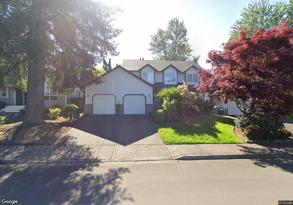
10310 NE 82nd Ave Vancouver, WA 98662
Estimated Value: $543,000 - $627,000
4
Beds
3
Baths
2,389
Sq Ft
$241/Sq Ft
Est. Value
About This Home
This home is located at 10310 NE 82nd Ave, Vancouver, WA 98662 and is currently estimated at $576,771, approximately $241 per square foot. 10310 NE 82nd Ave is a home located in Clark County with nearby schools including Glenwood Heights Primary School, Laurin Middle School, and Prairie High School.
Ownership History
Date
Name
Owned For
Owner Type
Purchase Details
Closed on
Feb 14, 1996
Sold by
Larry Bointano Builder Ltd
Bought by
Scopacasa Vincent M
Current Estimated Value
Home Financials for this Owner
Home Financials are based on the most recent Mortgage that was taken out on this home.
Original Mortgage
$161,150
Outstanding Balance
$5,263
Interest Rate
6.99%
Estimated Equity
$571,508
Create a Home Valuation Report for This Property
The Home Valuation Report is an in-depth analysis detailing your home's value as well as a comparison with similar homes in the area
Home Values in the Area
Average Home Value in this Area
Purchase History
| Date | Buyer | Sale Price | Title Company |
|---|---|---|---|
| Scopacasa Vincent M | $201,450 | Clark County Title Company |
Source: Public Records
Mortgage History
| Date | Status | Borrower | Loan Amount |
|---|---|---|---|
| Open | Scopacasa Vincent M | $161,150 |
Source: Public Records
Tax History Compared to Growth
Tax History
| Year | Tax Paid | Tax Assessment Tax Assessment Total Assessment is a certain percentage of the fair market value that is determined by local assessors to be the total taxable value of land and additions on the property. | Land | Improvement |
|---|---|---|---|---|
| 2025 | $4,357 | $554,010 | $191,500 | $362,510 |
| 2024 | $4,215 | $509,177 | $203,500 | $305,677 |
| 2023 | $4,081 | $546,108 | $215,500 | $330,608 |
| 2022 | $4,052 | $488,174 | $193,500 | $294,674 |
| 2021 | $3,991 | $440,300 | $143,750 | $296,550 |
| 2020 | $3,902 | $393,011 | $128,000 | $265,011 |
| 2019 | $3,379 | $374,121 | $128,000 | $246,121 |
| 2018 | $3,997 | $368,076 | $0 | $0 |
| 2017 | $3,467 | $331,042 | $0 | $0 |
| 2016 | $3,288 | $307,358 | $0 | $0 |
| 2015 | $3,235 | $267,982 | $0 | $0 |
| 2014 | -- | $248,994 | $0 | $0 |
| 2013 | -- | $224,529 | $0 | $0 |
Source: Public Records
Map
Nearby Homes
- 10020 NE 82nd Ave
- 10400 NE 82nd Ave Unit 18
- 7803 NE 99th St
- 10412 NE 86th Ave
- 9610 NE 87th Ave
- 11013 NE 88th Ave
- 11114 NE 91st Ave
- 11029 NE 88th Ave
- 10008 NE 92nd Ave
- 8927 NE 110th St
- 9311 NE 72nd Ave
- 6908 NE 106th St
- 8111 NE 88th St
- 11108 NE 91st Ave
- 11103 NE Saint Johns Rd
- 9308 NE 72nd Ave
- 11116 NE 91st Ave
- 11118 NE 91st Ave
- 11122 NE 91st Ave
- 6617 NE 107th St
- 10306 NE 82nd Ave
- 10316 NE 82nd Ave
- 10218 NE 82nd Ave
- 10311 NE 82nd Ave
- 10317 NE 82nd Ave
- 10305 NE 82nd Ave
- 10212 NE 82nd Ave
- 10219 NE 82nd Ave
- 10206 NE 82nd Ave
- 8108 NE 102nd Cir
- 10215 NE 82nd Ave
- 8100 NE 102nd Cir
- 10207 NE 82nd Ave
- 10400 NE 82nd Ave Unit 30
- 10400 NE 82nd Ave Unit 29
- 10400 NE 82nd Ave Unit 28
- 10400 NE 82nd Ave Unit 26
- 10400 NE 82nd Ave Unit 25
- 10400 NE 82nd Ave Unit 24
- 10400 NE 82nd Ave Unit 23