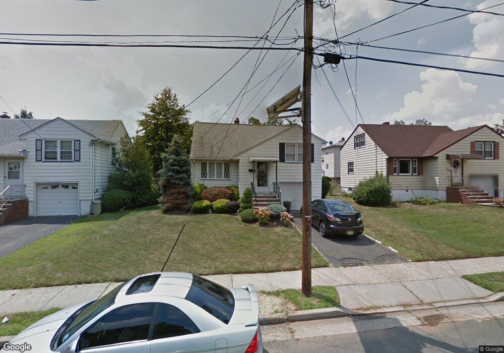
1036 Mopsick Ave Linden, NJ 07036
Estimated Value: $481,000 - $581,000
4
Beds
1
Bath
1,370
Sq Ft
$382/Sq Ft
Est. Value
About This Home
This home is located at 1036 Mopsick Ave, Linden, NJ 07036 and is currently estimated at $523,116, approximately $381 per square foot. 1036 Mopsick Ave is a home located in Union County with nearby schools including School No. 2, Myles J. McManus Middle School, and Linden High School.
Ownership History
Date
Name
Owned For
Owner Type
Purchase Details
Closed on
Nov 13, 2024
Sold by
Rezai Levi and Debocchi Aime De
Bought by
Moore Robin and Moore Fard
Current Estimated Value
Home Financials for this Owner
Home Financials are based on the most recent Mortgage that was taken out on this home.
Original Mortgage
$505,672
Interest Rate
6.85%
Mortgage Type
FHA
Purchase Details
Closed on
Aug 19, 2022
Sold by
Goger Jr Frank X
Bought by
Rezai Levi and Bocchi Aime
Home Financials for this Owner
Home Financials are based on the most recent Mortgage that was taken out on this home.
Original Mortgage
$319,113
Interest Rate
5.54%
Mortgage Type
FHA
Purchase Details
Closed on
Mar 10, 2014
Sold by
Goger Frank X
Bought by
Goger Frank X and Goger Deborah
Create a Home Valuation Report for This Property
The Home Valuation Report is an in-depth analysis detailing your home's value as well as a comparison with similar homes in the area
Home Values in the Area
Average Home Value in this Area
Purchase History
| Date | Buyer | Sale Price | Title Company |
|---|---|---|---|
| Moore Robin | $515,000 | Imperium Title | |
| Moore Robin | $515,000 | Imperium Title | |
| Rezai Levi | $325,000 | -- | |
| Goger Frank X | -- | None Available |
Source: Public Records
Mortgage History
| Date | Status | Borrower | Loan Amount |
|---|---|---|---|
| Previous Owner | Moore Robin | $505,672 | |
| Previous Owner | Rezai Levi | $319,113 |
Source: Public Records
Tax History Compared to Growth
Tax History
| Year | Tax Paid | Tax Assessment Tax Assessment Total Assessment is a certain percentage of the fair market value that is determined by local assessors to be the total taxable value of land and additions on the property. | Land | Improvement |
|---|---|---|---|---|
| 2025 | $8,881 | $126,300 | $46,000 | $80,300 |
| 2024 | $8,687 | $126,300 | $46,000 | $80,300 |
| 2023 | $8,687 | $126,300 | $46,000 | $80,300 |
| 2022 | $8,732 | $126,300 | $46,000 | $80,300 |
| 2021 | $8,777 | $126,300 | $46,000 | $80,300 |
| 2020 | $8,730 | $126,300 | $46,000 | $80,300 |
| 2019 | $8,701 | $126,300 | $46,000 | $80,300 |
| 2018 | $8,698 | $126,300 | $46,000 | $80,300 |
| 2017 | $8,510 | $126,300 | $46,000 | $80,300 |
| 2016 | $8,242 | $126,300 | $46,000 | $80,300 |
| 2015 | $7,928 | $126,300 | $46,000 | $80,300 |
| 2014 | $7,524 | $126,300 | $46,000 | $80,300 |
Source: Public Records
Map
Nearby Homes
- 321 W 15th St Unit 1
- 1519 Winans Ave
- 116 W 17th St
- 14 Arlington Place
- 108 W 18th St
- 317 Mitchell Ave
- 111 E 13th St
- 111 E 10th St
- 1713 S Wood Ave Unit 2
- 221 Jefferson Ave
- 118 Union Ave Unit 2
- 212 W Morris Ave
- 120 S Stiles St
- 226 Pennsylvania Railroad Ave
- 104 E Elizabeth Ave
- 28 W Elizabeth Ave Unit A3
- 10 N Wood Ave Unit 706
- 10 N Wood Ave Unit 312
- 10 N Wood Ave Unit 700
- 10 N Wood Ave Unit 214
- 1036 Mopstick Ave
- 1032 Mopsick Ave
- 1040 Mopsick Ave
- 310 W 12th St Unit 312
- 1026 Mopsick Ave
- 401 Gable Ln
- 405 Gable Ln
- 1022 Mopsick Ave
- 1033 Mopsick Ave
- 409 Gable Ln
- 211 W 11th St
- 400 W 12th St Unit 24
- 1208 Mopsick Ave
- 1016 Mopsick Ave
- 415 Gable Ln
- 397 W 12th St
- 1201 Mopsick Ave
- 419 Gable Ln
- 207 W 11th St Unit 2
- 1010 Mopsick Ave