10366 10th St NW Annandale, MN 55302
Estimated Value: $533,000 - $926,000
4
Beds
1
Bath
1,600
Sq Ft
$474/Sq Ft
Est. Value
About This Home
This home is located at 10366 10th St NW, Annandale, MN 55302 and is currently estimated at $758,948, approximately $474 per square foot. 10366 10th St NW is a home with nearby schools including Annandale Elementary School, Annandale Middle School, and Annandale Senior High School.
Ownership History
Date
Name
Owned For
Owner Type
Purchase Details
Closed on
Aug 28, 2025
Sold by
Brand Gail Lynn and Lundeen Gail Lynn
Bought by
Lundeen John C and Ling Kay Ruth
Current Estimated Value
Purchase Details
Closed on
Jul 22, 2025
Sold by
Brand Gail Lynn and Lundeen Gail Lynn
Bought by
Lundeen Farms and Brand
Create a Home Valuation Report for This Property
The Home Valuation Report is an in-depth analysis detailing your home's value as well as a comparison with similar homes in the area
Home Values in the Area
Average Home Value in this Area
Purchase History
| Date | Buyer | Sale Price | Title Company |
|---|---|---|---|
| Lundeen John C | $500 | None Listed On Document | |
| Lundeen Farms | $500 | None Listed On Document | |
| Lundeen Farms | $500 | None Listed On Document |
Source: Public Records
Tax History Compared to Growth
Tax History
| Year | Tax Paid | Tax Assessment Tax Assessment Total Assessment is a certain percentage of the fair market value that is determined by local assessors to be the total taxable value of land and additions on the property. | Land | Improvement |
|---|---|---|---|---|
| 2025 | $4,606 | $792,900 | $640,100 | $152,800 |
| 2024 | $4,216 | $748,200 | $612,600 | $135,600 |
| 2023 | $3,852 | $759,200 | $616,600 | $142,600 |
| 2022 | $4,126 | $583,000 | $453,900 | $129,100 |
| 2021 | $4,154 | $524,800 | $403,500 | $121,300 |
| 2020 | $4,146 | $500,900 | $386,800 | $114,100 |
| 2019 | $4,024 | $298,500 | $0 | $0 |
| 2018 | $3,692 | $34,100 | $0 | $0 |
| 2017 | $3,778 | $448,500 | $0 | $0 |
| 2016 | $3,948 | $0 | $0 | $0 |
| 2015 | $3,880 | $0 | $0 | $0 |
| 2014 | -- | $0 | $0 | $0 |
Source: Public Records
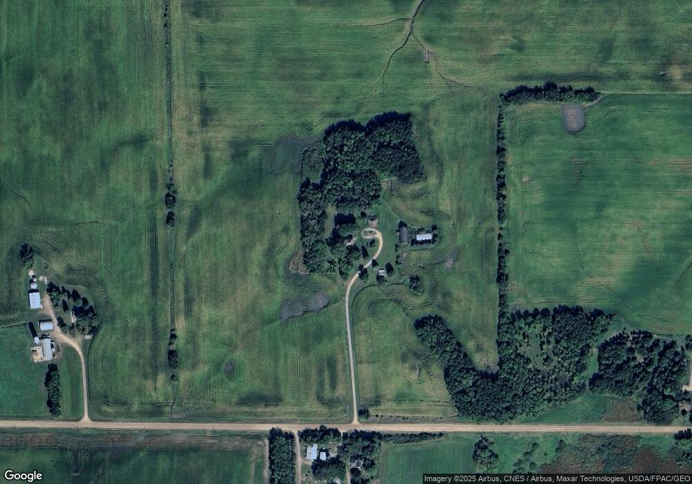
Map
Nearby Homes
- 1794 Lawrence Cir NW
- 431 County Highway 4 SW
- 345 County Highway 4 SW
- 12814 County Road 35 W
- xxxx NW County Road 7
- 3990 Moore Ave NW
- XXX Greer Ave NW
- 1060 Greer Ave NW
- 8752 51st St NW
- 1773 Foley Ave NW
- 2945 County Road 4 #411 SW
- 7491 County Road 37 NW
- 2945 County Road 4 Unit 321 SW
- 2945 County Road 4 #151 SW
- 2945 County Road 4 #119 SW
- 2945 County Road 4 SW Unit 426
- 2945 County Road 4 SW Unit 522
- 2945 County Road 4 SW Unit 109
- 2945 County Road 4 SW Unit 236
- 2945 County Road 4 SW Unit 521
- 10359 10th St NW
- 10570 10th St NW
- 10122 10th St NW
- 1202 Keats Ave NW
- XX Kilbury Ave NW
- L1B1 Kilbury Ave NW
- 977 Jeske Ave NW
- 961 Jeske Ave NW
- 943 Jeske Ave NW
- 1527 Keats Ave NW
- 1348 Keats Ave NW
- 664 Kilbury Ave NW
- 1117 Jennings Ave NW
- 610 Kilbury Ave NW
- 10565 17th St NW
- 825 Jennings Ave NW
- 1088 County Road 5 NW
- 1262 County Road 5 NW
- 1289 Jennings Ave NW
- 854 County Road 5 NW