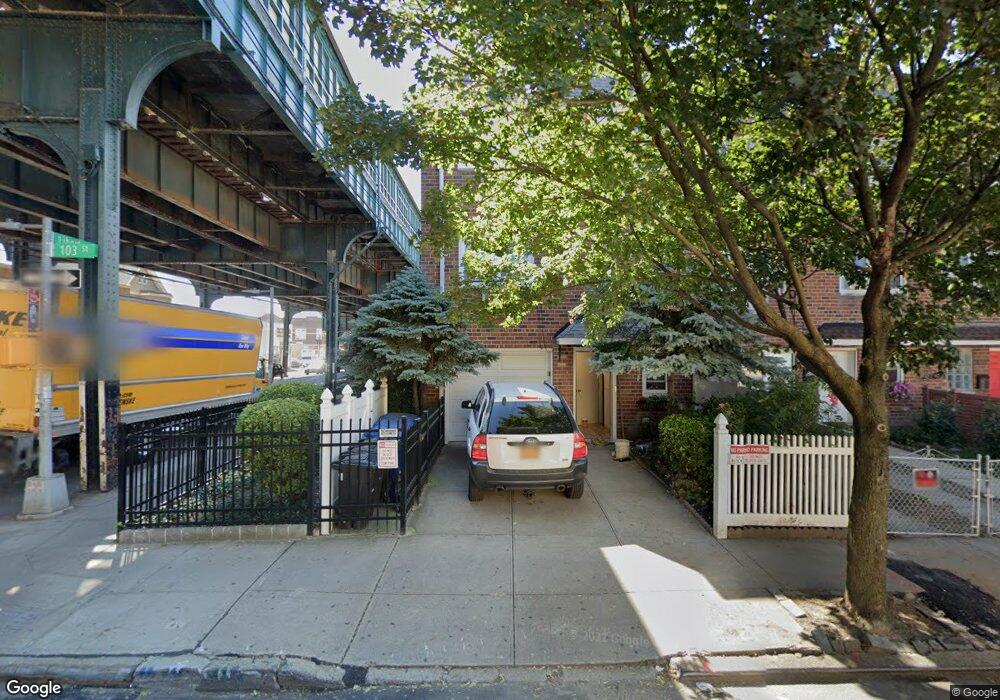
10380 103rd St Ozone Park, NY 11417
Richmond Hill NeighborhoodEstimated Value: $1,284,000 - $4,726,000
--
Bed
--
Bath
3,060
Sq Ft
$704/Sq Ft
Est. Value
About This Home
This home is located at 10380 103rd St, Ozone Park, NY 11417 and is currently estimated at $2,155,313, approximately $704 per square foot. 10380 103rd St is a home located in Queens County with nearby schools including P.S. 65 - The Raymond York Elementary School, Robert H. Goddard High School, and John Adams High School.
Ownership History
Date
Name
Owned For
Owner Type
Purchase Details
Closed on
Sep 4, 2025
Sold by
Moonstar Properties Ltd
Bought by
Improving Ny Development Group Llc
Current Estimated Value
Home Financials for this Owner
Home Financials are based on the most recent Mortgage that was taken out on this home.
Original Mortgage
$881,250
Outstanding Balance
$879,719
Interest Rate
6.72%
Mortgage Type
Purchase Money Mortgage
Estimated Equity
$1,275,594
Purchase Details
Closed on
Apr 15, 2005
Sold by
Saar Robert
Bought by
Moonstar Properties Ltd
Purchase Details
Closed on
Mar 4, 2002
Sold by
Saar Lillian K and Saar Louis Neil
Bought by
Saar Robert
Home Financials for this Owner
Home Financials are based on the most recent Mortgage that was taken out on this home.
Original Mortgage
$260,000
Interest Rate
6.84%
Create a Home Valuation Report for This Property
The Home Valuation Report is an in-depth analysis detailing your home's value as well as a comparison with similar homes in the area
Home Values in the Area
Average Home Value in this Area
Purchase History
| Date | Buyer | Sale Price | Title Company |
|---|---|---|---|
| Improving Ny Development Group Llc | $1,300,000 | -- | |
| Moonstar Properties Ltd | -- | -- | |
| Moonstar Properties Ltd | -- | -- | |
| Saar Robert | -- | -- | |
| Saar Robert | -- | -- |
Source: Public Records
Mortgage History
| Date | Status | Borrower | Loan Amount |
|---|---|---|---|
| Open | Improving Ny Development Group Llc | $881,250 | |
| Previous Owner | Saar Robert | $260,000 |
Source: Public Records
Tax History Compared to Growth
Tax History
| Year | Tax Paid | Tax Assessment Tax Assessment Total Assessment is a certain percentage of the fair market value that is determined by local assessors to be the total taxable value of land and additions on the property. | Land | Improvement |
|---|---|---|---|---|
| 2025 | $9,339 | $51,755 | $13,830 | $37,925 |
| 2024 | $9,339 | $46,499 | $12,887 | $33,612 |
| 2023 | $8,811 | $43,867 | $12,145 | $31,722 |
| 2022 | $8,262 | $54,900 | $18,240 | $36,660 |
| 2021 | $8,710 | $51,900 | $18,240 | $33,660 |
| 2020 | $8,694 | $50,580 | $18,240 | $32,340 |
| 2019 | $8,106 | $43,320 | $18,240 | $25,080 |
| 2018 | $7,452 | $36,556 | $13,686 | $22,870 |
| 2017 | $7,030 | $34,488 | $13,777 | $20,711 |
| 2016 | $6,894 | $34,488 | $13,777 | $20,711 |
| 2015 | $3,924 | $34,228 | $19,122 | $15,106 |
| 2014 | $3,924 | $32,291 | $17,547 | $14,744 |
Source: Public Records
Map
Nearby Homes
- 10370 103rd St
- 103-58 103rd St
- 105-02 Liberty Ave
- 10349A 104th St
- 103-50 102nd St
- 107-16 103rd St
- 103-37 102nd St
- 103-22 104th St
- 10330 102nd St
- 103-18 103rd St
- 10417 106th St
- 10438 107th St
- 103-10 106th St
- 10152 103rd St
- 10317 Plattwood Ave
- 10154 102nd St
- 10718 108th St
- 10728 108th St
- 132-01 100th St
- 104-71 109th St Unit 2
- 10380 103rd St
- 10378 103rd St
- 10376 103rd St
- 103-76 103rd St
- 10374 103rd St
- 103-74 103rd St Unit 1
- 103-74 103rd St
- 10372 103rd St
- 10368 103rd St
- 103-04 Liberty Ave
- 10379 102nd St
- 103-06 Liberty Ave
- 10377 102nd St
- 10216 Liberty Ave
- 10375 102nd St
- 10325 Liberty Ave
- 10252 Liberty Ave
- 10373 102nd St
- 10371 102nd St
- 10366 103rd St