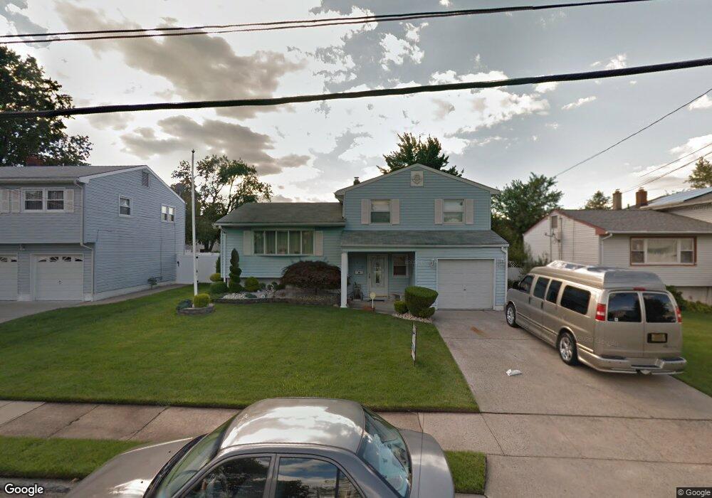
1039 Rudyard Dr Perth Amboy, NJ 08861
Spa Springs NeighborhoodEstimated Value: $543,390 - $583,000
3
Beds
2
Baths
1,600
Sq Ft
$347/Sq Ft
Est. Value
About This Home
This home is located at 1039 Rudyard Dr, Perth Amboy, NJ 08861 and is currently estimated at $555,598, approximately $347 per square foot. 1039 Rudyard Dr is a home located in Middlesex County with nearby schools including Perth Amboy High School, Academy for Urban Leadership Charter School, and St James School-Woodbridge.
Ownership History
Date
Name
Owned For
Owner Type
Purchase Details
Closed on
Sep 20, 2017
Sold by
Ortega Ambar X
Bought by
Ceballo Maria S
Current Estimated Value
Home Financials for this Owner
Home Financials are based on the most recent Mortgage that was taken out on this home.
Original Mortgage
$170,000
Outstanding Balance
$141,809
Interest Rate
3.86%
Mortgage Type
New Conventional
Estimated Equity
$413,789
Purchase Details
Closed on
Apr 25, 2013
Sold by
Melendez Carmelo and Melendez Maricel
Bought by
Ortega Ambar X
Home Financials for this Owner
Home Financials are based on the most recent Mortgage that was taken out on this home.
Original Mortgage
$172,000
Interest Rate
3.6%
Mortgage Type
New Conventional
Purchase Details
Closed on
May 2, 1996
Sold by
Boyd Jerome
Bought by
Melendez Carmelo and Melendez Maricel
Home Financials for this Owner
Home Financials are based on the most recent Mortgage that was taken out on this home.
Original Mortgage
$124,000
Interest Rate
7.67%
Create a Home Valuation Report for This Property
The Home Valuation Report is an in-depth analysis detailing your home's value as well as a comparison with similar homes in the area
Home Values in the Area
Average Home Value in this Area
Purchase History
| Date | Buyer | Sale Price | Title Company |
|---|---|---|---|
| Ceballo Maria S | $250,000 | Vintage Title | |
| Ortega Ambar X | $215,000 | Title Agency Inc | |
| Melendez Carmelo | $130,000 | -- |
Source: Public Records
Mortgage History
| Date | Status | Borrower | Loan Amount |
|---|---|---|---|
| Open | Ceballo Maria S | $170,000 | |
| Previous Owner | Ortega Ambar X | $172,000 | |
| Previous Owner | Melendez Carmelo | $124,000 |
Source: Public Records
Tax History Compared to Growth
Tax History
| Year | Tax Paid | Tax Assessment Tax Assessment Total Assessment is a certain percentage of the fair market value that is determined by local assessors to be the total taxable value of land and additions on the property. | Land | Improvement |
|---|---|---|---|---|
| 2025 | $8,918 | $295,600 | $138,800 | $156,800 |
| 2024 | $8,901 | $295,600 | $138,800 | $156,800 |
| 2023 | $8,901 | $295,600 | $138,800 | $156,800 |
| 2022 | $8,794 | $295,600 | $138,800 | $156,800 |
| 2021 | $8,806 | $295,600 | $138,800 | $156,800 |
| 2020 | $8,803 | $295,600 | $138,800 | $156,800 |
| 2019 | $8,835 | $295,600 | $138,800 | $156,800 |
| 2018 | $8,759 | $295,600 | $138,800 | $156,800 |
| 2017 | $9,244 | $312,600 | $138,800 | $173,800 |
| 2016 | $9,003 | $312,600 | $138,800 | $173,800 |
| 2015 | $9,065 | $312,600 | $138,800 | $173,800 |
| 2014 | $9,122 | $312,600 | $138,800 | $173,800 |
Source: Public Records
Map
Nearby Homes
- 1045 Rudyard Dr
- 1033 Rudyard Dr
- 1042 Truxton Dr
- 1046 Truxton Dr
- 1027 Rudyard Dr
- 1050 Truxton Dr
- 1051 Rudyard Dr
- 1038 Truxton Dr
- 1021 Rudyard Dr
- 1054 Truxton Dr
- 1046 Rudyard Dr
- 654 Kelly Ave
- 647 Clark Ave
- 678 Franklin Dr
- 1034 Truxton Dr
- 1058 Truxton Dr
- 1059 Rudyard Dr
- 1047 Truxton Dr
- 650 Clark Ave
- 650 Kelly Ave