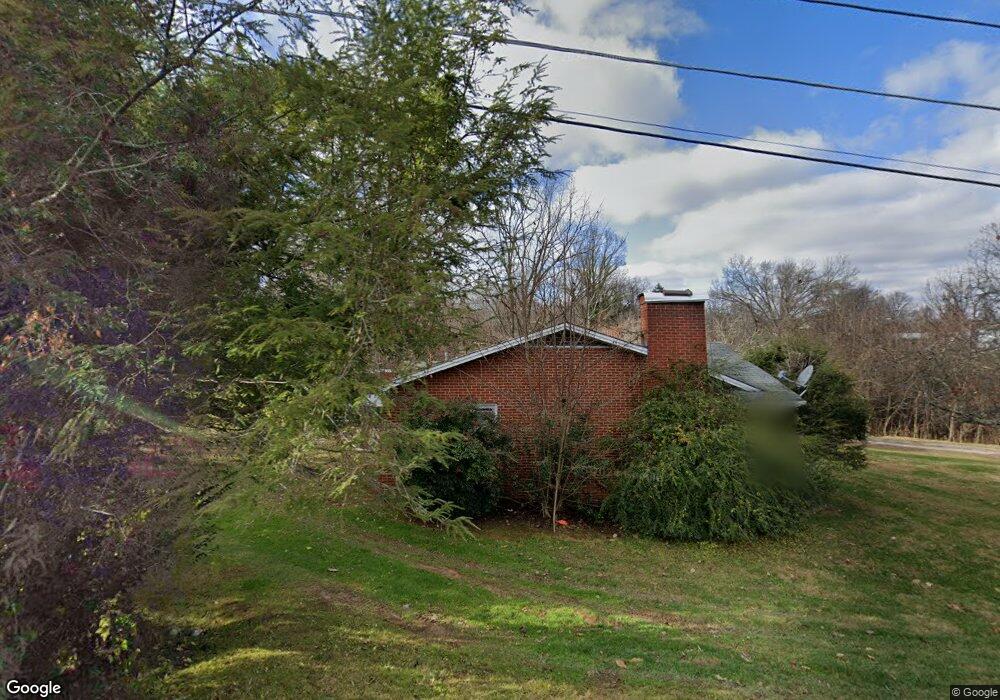
104 Brookdale Dr Johnson City, TN 37601
Estimated Value: $238,000 - $309,000
--
Bed
2
Baths
1,605
Sq Ft
$172/Sq Ft
Est. Value
About This Home
This home is located at 104 Brookdale Dr, Johnson City, TN 37601 and is currently estimated at $276,022, approximately $171 per square foot. 104 Brookdale Dr is a home located in Carter County with nearby schools including Elizabethton High School, Munsey Kindergarten, and Central Baptist Preschool & Kindergarten.
Ownership History
Date
Name
Owned For
Owner Type
Purchase Details
Closed on
Jul 21, 2021
Sold by
Calhoun Eugene T and Calhoun Dorothy L
Bought by
Brown Ricky and Brown Tonya
Current Estimated Value
Home Financials for this Owner
Home Financials are based on the most recent Mortgage that was taken out on this home.
Original Mortgage
$159,000
Outstanding Balance
$144,400
Interest Rate
2.96%
Mortgage Type
Credit Line Revolving
Estimated Equity
$131,622
Purchase Details
Closed on
Apr 19, 2007
Sold by
Calhoun Eugene T
Bought by
Calhoun Eugene T
Purchase Details
Closed on
Sep 2, 1969
Bought by
Calhoun Fred H
Create a Home Valuation Report for This Property
The Home Valuation Report is an in-depth analysis detailing your home's value as well as a comparison with similar homes in the area
Home Values in the Area
Average Home Value in this Area
Purchase History
| Date | Buyer | Sale Price | Title Company |
|---|---|---|---|
| Brown Ricky | $175,000 | None Available | |
| Calhoun Eugene T | -- | -- | |
| Calhoun Fred H | -- | -- |
Source: Public Records
Mortgage History
| Date | Status | Borrower | Loan Amount |
|---|---|---|---|
| Open | Brown Ricky | $159,000 |
Source: Public Records
Tax History Compared to Growth
Tax History
| Year | Tax Paid | Tax Assessment Tax Assessment Total Assessment is a certain percentage of the fair market value that is determined by local assessors to be the total taxable value of land and additions on the property. | Land | Improvement |
|---|---|---|---|---|
| 2024 | $1,556 | $48,950 | $14,675 | $34,275 |
| 2023 | $1,556 | $47,125 | $0 | $0 |
| 2022 | $1,697 | $47,125 | $12,850 | $34,275 |
| 2021 | $957 | $47,125 | $12,850 | $34,275 |
| 2020 | $1,574 | $47,125 | $12,850 | $34,275 |
| 2019 | $1,574 | $36,450 | $10,500 | $25,950 |
| 2018 | $1,552 | $36,450 | $10,500 | $25,950 |
| 2017 | $1,552 | $36,450 | $10,500 | $25,950 |
| 2016 | $1,545 | $36,450 | $10,500 | $25,950 |
| 2015 | $1,549 | $36,450 | $10,500 | $25,950 |
| 2014 | $1,519 | $35,575 | $10,550 | $25,025 |
Source: Public Records
Map
Nearby Homes
- 197 Woodland Dr
- Tbd Swadley Rd
- 188 Arlington Dr
- 907 Cedar Grove Rd
- 515 Pilgrim Ct Unit D
- 515 Pilgrim Ct Unit B
- 0000 Plymouth Rd
- 518 Pilgrim Ct Unit D
- 506 Pilgrim Ct Unit B
- 504 Pilgrim Ct Unit D
- 500 Pilgrim Ct Unit B
- 1012 Kingston Ct
- 1704 Orlando Dr
- 322 Preservation Cir
- 137 Unaka View Rd
- 9 Lynn Terrace Ct
- 212 Mayflower Rd
- 805 E Maple St
- 3303 Martin Farm Rd
- 101 Glaze Farm Way
- 104/104A Brookdale Dr
- 105 Brookdale Dr
- 116 Brookdale Dr
- 1225 Milligan Hwy
- 1233 Milligan Hwy
- 101 Shenandoah Dr
- 1210 Milligan Hwy
- 100 Park Ct
- 103 Park Ct
- 13 Woodland Rd Unit 13
- 1209 Milligan Hwy
- 109 Woodland Rd
- 102 Shenandoah Dr
- 1202 Milligan Hwy
- 105 Park Ct
- 105 Woodland Rd
- 102 Park Ct
- 109 Woodland Dr
- 109 Park Ct
- 1205 Milligan Hwy