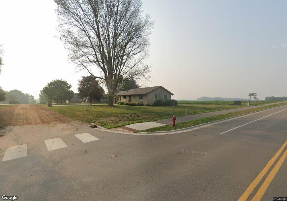
104 Kaukis Dr Le Sueur, MN 56058
Estimated Value: $259,000 - $326,000
2
Beds
2
Baths
1,623
Sq Ft
$174/Sq Ft
Est. Value
About This Home
This home is located at 104 Kaukis Dr, Le Sueur, MN 56058 and is currently estimated at $282,762, approximately $174 per square foot. 104 Kaukis Dr is a home with nearby schools including Park Elementary School, Hilltop Elementary School, and Le Sueur-Henderson High School.
Ownership History
Date
Name
Owned For
Owner Type
Purchase Details
Closed on
Jul 29, 2025
Sold by
Milam Martin J and Milam Suzanne V
Bought by
Milam Martin J and Milam Suzanne V
Current Estimated Value
Purchase Details
Closed on
Jun 30, 2025
Sold by
Marie Sunderman Revocable Trust and Eugene H Sunderman Revocable Trust
Bought by
Milam Martin J and Milam Suzanne V
Create a Home Valuation Report for This Property
The Home Valuation Report is an in-depth analysis detailing your home's value as well as a comparison with similar homes in the area
Home Values in the Area
Average Home Value in this Area
Purchase History
| Date | Buyer | Sale Price | Title Company |
|---|---|---|---|
| Milam Martin J | $500 | None Listed On Document | |
| Milam Martin J | $175,000 | None Listed On Document |
Source: Public Records
Tax History Compared to Growth
Tax History
| Year | Tax Paid | Tax Assessment Tax Assessment Total Assessment is a certain percentage of the fair market value that is determined by local assessors to be the total taxable value of land and additions on the property. | Land | Improvement |
|---|---|---|---|---|
| 2025 | $4,800 | $258,300 | $49,000 | $209,300 |
| 2024 | $4,776 | $258,300 | $49,000 | $209,300 |
| 2023 | $4,674 | $255,700 | $49,000 | $206,700 |
| 2022 | $3,840 | $242,500 | $49,000 | $193,500 |
| 2021 | $3,538 | $197,200 | $44,000 | $153,200 |
| 2020 | $2,810 | $190,500 | $44,000 | $146,500 |
| 2019 | $2,180 | $164,500 | $39,103 | $125,397 |
| 2018 | $2,165 | $126,600 | $29,190 | $97,410 |
| 2017 | $2,089 | $121,000 | $28,912 | $92,088 |
| 2016 | $1,996 | $116,800 | $28,703 | $88,097 |
| 2015 | $1,981 | $116,800 | $28,703 | $88,097 |
| 2014 | $1,853 | $112,500 | $28,460 | $84,040 |
| 2013 | $1,882 | $112,000 | $28,307 | $83,693 |
Source: Public Records
Map
Nearby Homes
- 417 S Park Ln
- 417 Coventry Rd
- 263 Plum Run Unit 1
- 209 Hillcrest Way
- Majestic Plan at Ridge Road Development
- St James Plan at Ridge Road Development
- Bellefonte Plan at Ridge Road Development
- St. Croix Plan at Ridge Road Development
- Oakwood Plan at Ridge Road Development
- Madison Plan at Ridge Road Development
- Poplar Plan at Ridge Road Development
- St Charles Plan at Ridge Road Development
- Cottonwood II Plan at Ridge Road Development
- Everleigh Plan at Ridge Road Development
- Marquette Plan at Ridge Road Development
- Enclave II Plan at Ridge Road Development
- Boardwalk Plan at Ridge Road Development
- Illinois Plan at Ridge Road Development
- Oakwood II Plan at Ridge Road Development
- Summerlyn Plan at Ridge Road Development
- 108 Kaukis Dr
- 101 Kaukis Dr
- 105 Kaukis Dr
- 112 Kaukis Dr
- 107 Kaukis Dr
- 138 Coventry Rd
- 142 Coventry Rd
- 146 Coventry Rd
- 116 Kaukis Dr
- 109 109 Kaukis Dr
- 109 Kaukis Dr
- 150 Coventry Rd
- 137 Coventry Rd
- 115 Kaukis Dr
- 154 Coventry Rd
- 302 S Elmwood Ave
- 505 S Park Ln
- 107 Elmwood Cir
- 158 Coventry Rd
- 107 107 Elmwood Cir