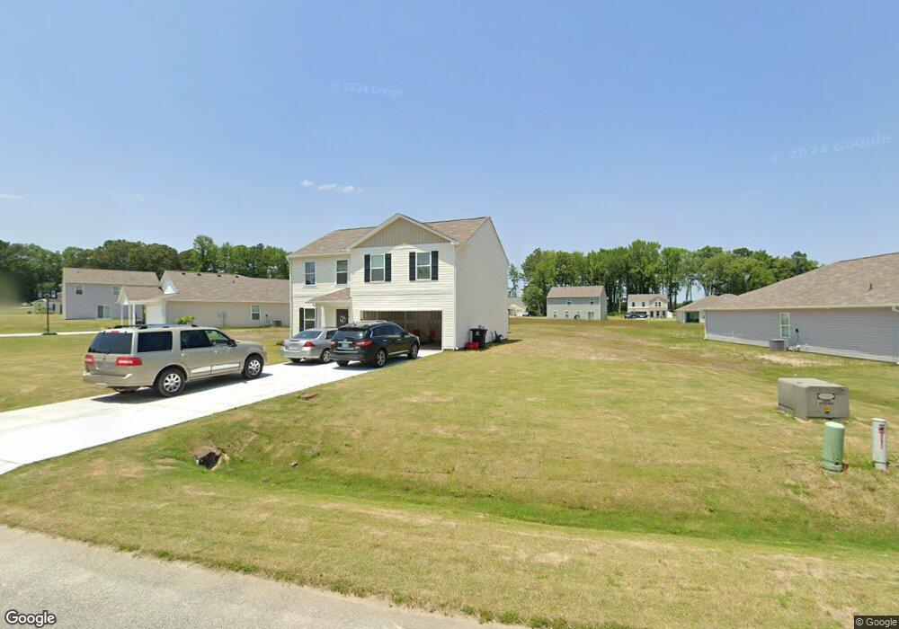
104 Kyles Dr Tarboro, NC 27886
Estimated Value: $199,000 - $257,255
4
Beds
3
Baths
2,014
Sq Ft
$119/Sq Ft
Est. Value
About This Home
This home is located at 104 Kyles Dr, Tarboro, NC 27886 and is currently estimated at $239,564, approximately $118 per square foot. 104 Kyles Dr is a home located in Edgecombe County with nearby schools including Stocks Elementary School, W.A. Pattillo Middle School, and Tarboro High School.
Ownership History
Date
Name
Owned For
Owner Type
Purchase Details
Closed on
Dec 28, 2022
Sold by
Wjh Llc
Bought by
Et 16 Lp
Current Estimated Value
Home Financials for this Owner
Home Financials are based on the most recent Mortgage that was taken out on this home.
Original Mortgage
$5,701,941
Outstanding Balance
$5,519,897
Interest Rate
6.61%
Mortgage Type
Purchase Money Mortgage
Estimated Equity
-$5,280,333
Purchase Details
Closed on
Dec 16, 2021
Sold by
Big Time Grand Llc
Bought by
Wjh Llc
Purchase Details
Closed on
Mar 29, 2000
Bought by
Tarboro Commons Llc
Create a Home Valuation Report for This Property
The Home Valuation Report is an in-depth analysis detailing your home's value as well as a comparison with similar homes in the area
Home Values in the Area
Average Home Value in this Area
Purchase History
| Date | Buyer | Sale Price | Title Company |
|---|---|---|---|
| Et 16 Lp | $2,029,500 | First American Title | |
| Et 16 Lp | $2,029,500 | First American Title | |
| Wjh Llc | $2,360,000 | None Available | |
| Tarboro Commons Llc | -- | -- |
Source: Public Records
Mortgage History
| Date | Status | Borrower | Loan Amount |
|---|---|---|---|
| Open | Et 16 Lp | $5,701,941 | |
| Closed | Et 16 Lp | $5,701,941 |
Source: Public Records
Tax History Compared to Growth
Tax History
| Year | Tax Paid | Tax Assessment Tax Assessment Total Assessment is a certain percentage of the fair market value that is determined by local assessors to be the total taxable value of land and additions on the property. | Land | Improvement |
|---|---|---|---|---|
| 2024 | $2,279 | $0 | $0 | $0 |
| 2023 | $1,930 | $0 | $0 | $0 |
| 2022 | $271 | $0 | $0 | $0 |
| 2021 | $271 | $0 | $0 | $0 |
| 2020 | $271 | $0 | $0 | $0 |
| 2019 | $271 | $0 | $0 | $0 |
| 2018 | $271 | $0 | $0 | $0 |
| 2017 | $27,075 | $0 | $0 | $0 |
| 2016 | $271 | $0 | $0 | $0 |
| 2015 | $271 | $0 | $0 | $0 |
| 2014 | $25,508 | $0 | $0 | $0 |
Source: Public Records
Map
Nearby Homes
- 102 Zachary Ln
- 2012 Glissom St
- 0 Off Us Hwy 264 Unit 100492765
- 1903 Meredith Ave
- 0 Mcnair Rd
- 1811 W Howard Ave
- 00 U S 258
- 101 Market Centre Dr
- 0 Market Centre Dr
- 1800 Lake Dr
- 1204 Rodgers Dr
- 2360 Mcnair Rd
- 2340 Mcnair Rd
- 209 Dowd St
- 1302 Chauncey Dr
- 5635 McKendree Church Rd
- 807 W Saint James St
- 2140 Mcnair Rd
- 2120 Mcnair Rd
- 408 Windermere Cir