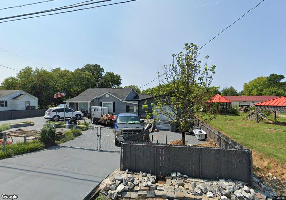
104 Mail Rd Kings Mountain, NC 28086
Estimated Value: $141,000 - $195,000
2
Beds
1
Bath
1,000
Sq Ft
$157/Sq Ft
Est. Value
About This Home
This home is located at 104 Mail Rd, Kings Mountain, NC 28086 and is currently estimated at $156,695, approximately $156 per square foot. 104 Mail Rd is a home located in Cleveland County with nearby schools including Grover Elementary School, Kings Mountain Middle, and Kings Mountain Intermediate School.
Ownership History
Date
Name
Owned For
Owner Type
Purchase Details
Closed on
May 1, 2015
Sold by
Dprc Investments Llc
Bought by
Cook Danny Ray
Current Estimated Value
Purchase Details
Closed on
Apr 13, 2010
Sold by
Bc Harris Properties Llc
Bought by
Dprc Investments Llc
Purchase Details
Closed on
Nov 30, 2009
Sold by
Stonecrest Income & Opportunity Fund I L
Bought by
Bc Harris Properties Llc
Purchase Details
Closed on
Apr 21, 2009
Sold by
American General Financial Services Inc
Bought by
Stonecrest Income & Opportunity Fund I L
Create a Home Valuation Report for This Property
The Home Valuation Report is an in-depth analysis detailing your home's value as well as a comparison with similar homes in the area
Home Values in the Area
Average Home Value in this Area
Purchase History
| Date | Buyer | Sale Price | Title Company |
|---|---|---|---|
| Cook Danny Ray | $29,000 | None Available | |
| Dprc Investments Llc | $9,000 | None Available | |
| Bc Harris Properties Llc | $8,000 | None Available | |
| Stonecrest Income & Opportunity Fund I L | $7,000 | None Available |
Source: Public Records
Tax History Compared to Growth
Tax History
| Year | Tax Paid | Tax Assessment Tax Assessment Total Assessment is a certain percentage of the fair market value that is determined by local assessors to be the total taxable value of land and additions on the property. | Land | Improvement |
|---|---|---|---|---|
| 2025 | $943 | $148,450 | $12,150 | $136,300 |
| 2024 | $489 | $51,407 | $6,885 | $44,522 |
| 2023 | $487 | $51,407 | $6,885 | $44,522 |
| 2022 | $487 | $51,407 | $6,885 | $44,522 |
| 2021 | $487 | $51,407 | $6,885 | $44,522 |
| 2020 | $352 | $33,619 | $6,885 | $26,734 |
| 2019 | $352 | $33,619 | $6,885 | $26,734 |
| 2018 | $348 | $33,619 | $6,885 | $26,734 |
| 2017 | $346 | $33,619 | $6,885 | $26,734 |
| 2016 | $328 | $33,619 | $6,885 | $26,734 |
| 2015 | $314 | $31,932 | $5,265 | $26,667 |
| 2014 | $314 | $31,932 | $5,265 | $26,667 |
Source: Public Records
Map
Nearby Homes
- 209 Fairdale St
- 107 Connor Ct
- 1425 Bethlehem Rd
- 610 Margrace Rd
- 106 Raintree Dr
- 107 Tara Terrace
- 163 Kipling Ln
- 107 Arrowood Dr
- 000 Bethlehem Rd
- 180 Rosedale St
- 215 Chadwick Dr
- 130 Benton Rd
- 412 Brinkley Dr
- 419 Brinkley Dr
- 107 Frank Burns Way
- 226 Caley St
- 143 Parker Claire Ln
- 137 Parker Claire Ln
- 157 Parker Claire Ln
- 104 Parker Claire Ln