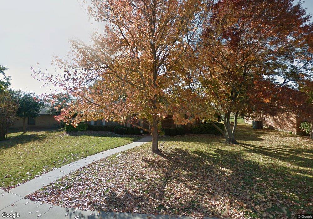
104 Sherwood Ln Desoto, TX 75115
Estimated Value: $272,101 - $297,000
3
Beds
2
Baths
1,608
Sq Ft
$175/Sq Ft
Est. Value
About This Home
This home is located at 104 Sherwood Ln, Desoto, TX 75115 and is currently estimated at $282,025, approximately $175 per square foot. 104 Sherwood Ln is a home located in Dallas County with nearby schools including Ruby Young Elementary School, Desoto West Middle (Isteam), and DeSoto Private School.
Ownership History
Date
Name
Owned For
Owner Type
Purchase Details
Closed on
Aug 20, 2015
Sold by
Ingle Oma Lee
Bought by
Amos Cheryl
Current Estimated Value
Home Financials for this Owner
Home Financials are based on the most recent Mortgage that was taken out on this home.
Original Mortgage
$121,754
Outstanding Balance
$98,403
Interest Rate
4.87%
Mortgage Type
FHA
Estimated Equity
$183,622
Create a Home Valuation Report for This Property
The Home Valuation Report is an in-depth analysis detailing your home's value as well as a comparison with similar homes in the area
Home Values in the Area
Average Home Value in this Area
Purchase History
| Date | Buyer | Sale Price | Title Company |
|---|---|---|---|
| Amos Cheryl | -- | Providence Title Company |
Source: Public Records
Mortgage History
| Date | Status | Borrower | Loan Amount |
|---|---|---|---|
| Open | Amos Cheryl | $121,754 |
Source: Public Records
Tax History Compared to Growth
Tax History
| Year | Tax Paid | Tax Assessment Tax Assessment Total Assessment is a certain percentage of the fair market value that is determined by local assessors to be the total taxable value of land and additions on the property. | Land | Improvement |
|---|---|---|---|---|
| 2025 | $5,604 | $276,510 | $55,000 | $221,510 |
| 2024 | $5,604 | $276,510 | $55,000 | $221,510 |
| 2023 | $5,604 | $243,340 | $45,000 | $198,340 |
| 2022 | $6,131 | $243,340 | $45,000 | $198,340 |
| 2021 | $4,839 | $178,800 | $35,000 | $143,800 |
| 2020 | $5,132 | $178,800 | $35,000 | $143,800 |
| 2019 | $5,128 | $178,800 | $35,000 | $143,800 |
| 2018 | $4,181 | $144,830 | $25,000 | $119,830 |
| 2017 | $3,811 | $133,260 | $25,000 | $108,260 |
| 2016 | $3,630 | $126,950 | $18,000 | $108,950 |
| 2015 | $863 | $95,890 | $18,000 | $77,890 |
| 2014 | $863 | $88,730 | $18,000 | $70,730 |
Source: Public Records
Map
Nearby Homes
- 212 Wellington Dr
- 241 Wesley Dr
- 428 Saddle Head Dr
- 524 Terrace Dr
- 412 Brook Hollow Cir
- 417 Channel View Terrace
- 409 E Parkerville Rd
- 300 Brookwood Dr
- 621 Prestonwood Trail
- 344 Brook Hollow Dr
- 400 Riverwood Dr
- 809 Bridle Dr
- 506 Amber Ln
- 208 Evelyn St
- 1213 Goffin Dr
- 408 Ripplewood Dr
- 455 Chestnut Ln
- 421 Chestnut Ln
- 119 Windwood Dr
- 118 Evelyn St
- 108 Sherwood Ln
- 100 Sherwood Ln
- 537 Cambridge Dr
- 117 Brighton Dr
- 201 Brighton Dr
- 112 Sherwood Ln
- 540 Cambridge Dr
- 205 Brighton Dr
- 113 Brighton Dr
- 536 Cambridge Dr
- 536 Buckingham Place
- 200 Sherwood Ln
- 533 Cambridge Dr
- 209 Brighton Dr
- 532 Buckingham Place
- 532 Cambridge Dr
- 200 Brighton Dr
- 109 Brighton Dr
- 204 Brighton Dr
- 204 Sherwood Ln