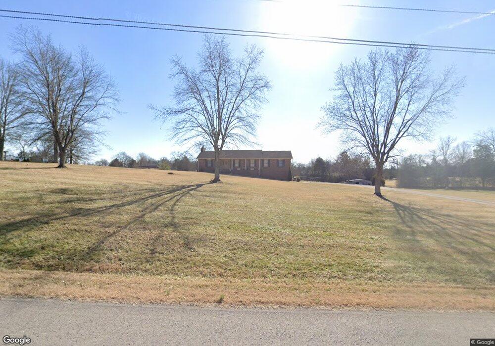
1041 Kansas Ln Gallatin, TN 37066
Bethpage NeighborhoodEstimated Value: $437,000 - $697,000
--
Bed
2
Baths
1,785
Sq Ft
$307/Sq Ft
Est. Value
About This Home
This home is located at 1041 Kansas Ln, Gallatin, TN 37066 and is currently estimated at $547,513, approximately $306 per square foot. 1041 Kansas Ln is a home located in Sumner County with nearby schools including Benny C. Bills Elementary School, Joe Shafer Middle School, and Gallatin Senior High School.
Ownership History
Date
Name
Owned For
Owner Type
Purchase Details
Closed on
Apr 19, 2013
Sold by
Ammerman Cathy Darlene and Heavren Carol Lynn Davis
Bought by
Cathey Judson and Cathey Kerribeth
Current Estimated Value
Home Financials for this Owner
Home Financials are based on the most recent Mortgage that was taken out on this home.
Original Mortgage
$148,200
Outstanding Balance
$105,458
Interest Rate
3.65%
Mortgage Type
New Conventional
Estimated Equity
$442,055
Create a Home Valuation Report for This Property
The Home Valuation Report is an in-depth analysis detailing your home's value as well as a comparison with similar homes in the area
Home Values in the Area
Average Home Value in this Area
Purchase History
| Date | Buyer | Sale Price | Title Company |
|---|---|---|---|
| Cathey Judson | $156,000 | None Available |
Source: Public Records
Mortgage History
| Date | Status | Borrower | Loan Amount |
|---|---|---|---|
| Open | Cathey Judson | $148,200 |
Source: Public Records
Tax History Compared to Growth
Tax History
| Year | Tax Paid | Tax Assessment Tax Assessment Total Assessment is a certain percentage of the fair market value that is determined by local assessors to be the total taxable value of land and additions on the property. | Land | Improvement |
|---|---|---|---|---|
| 2024 | $1,970 | $138,625 | $51,625 | $87,000 |
| 2023 | $1,578 | $70,075 | $26,425 | $43,650 |
| 2022 | $1,585 | $70,075 | $26,425 | $43,650 |
| 2021 | $1,585 | $70,075 | $26,425 | $43,650 |
| 2020 | $1,585 | $70,075 | $26,425 | $43,650 |
| 2019 | $1,585 | $0 | $0 | $0 |
| 2018 | $1,077 | $0 | $0 | $0 |
| 2017 | $1,077 | $0 | $0 | $0 |
| 2016 | $1,077 | $0 | $0 | $0 |
| 2015 | -- | $0 | $0 | $0 |
| 2014 | -- | $0 | $0 | $0 |
Source: Public Records
Map
Nearby Homes
- 0 Pond Dr
- 311 Pond Dr
- 1040 Double Tree Ln
- 1010 Harness Cir
- 172 Rock Bridge Rd
- 1032 Harness Cir
- 1000 Choctaw Cove
- 1009 Cherokee Cove
- 324 Rock Bridge Rd
- 530 Branham Mill Rd
- 104 Branham Mill Rd
- 515 Branham Mill Rd
- 0 Branham Mill Rd Unit RTC2887469
- 303 S Dry Fork Rd
- 2030 Highway 31 E
- 1060 Millbrook Way
- 8 Deshea Creek Rd
- 2 Deshea Creek Rd
- 6 Deshea Creek Rd
- 3 Deshea Creek Rd
- 1037 Kansas Ln
- 1035 Kansas Ln
- 1038 Kansas Ln
- 1055 Kansas Ln
- 1100 Kansas Ln
- 0 Kansas Ln
- 1032 Kansas Ln
- 1015 Kansas Ln
- 1036 Kansas Ln
- 2235 Highway 31 E
- 1122 Kansas Ln
- 115 Mount Zion Ln
- 1014 Kansas Ln
- 2231 Highway 31 E
- 2411 Highway 31 E
- 9 Sideview Rd
- 26 Sideview Rd
- 18 Sideview Rd
- 33 Sideview Rd
- 118 Sideview Rd